Spa Water park Wagrain Salzburg's world of sport: Position on map

Webcams Public Pool Water park Wagrain

Water park Wagrain
Advertisement
Wagrain - Top Station Flying Mozart
Elevation: 1,825 m
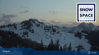
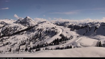
Enjoy the panoramic view from the top station of the Flying Mozart gondola in Wagrain. Next to the station you can see the mountain restaurants...
9 minutes ago
Wagrain - Grafenberg
Elevation: 1,703 m
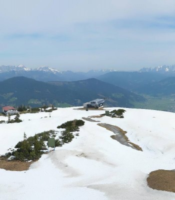
View from Grafenberg mountain over the Alps surrounding Wagrain.
6 hours ago
Gernkogel - View to the North
Elevation: 1,680 m
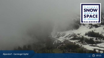
This webcam is located on top of the Gernkogel near St.Johann im Pongau with a great view to the north. You can see St. Johann im Pongau and...
5 minutes ago
Snowpark Flachauwinkl
Elevation: 1,791 m
View at the Jib Park
10 hours ago
mountain "Gernkogel" in St. Johann Alpendorf
Elevation: 1,733 m
You can see the mountain peaks of the "Salzburger Sportwelt" from the top of mountain "Gernkogel"
6 hours ago
Top Station Achter Jet
Elevation: 1,600 m
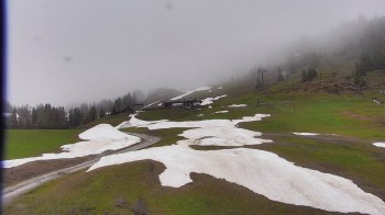
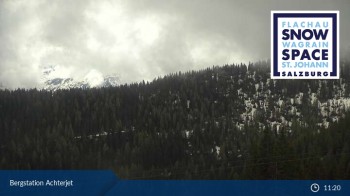
View from the top station of Achter Jet in Flachau over the surrounting Alps.
6 hours ago
Flachauwinkl-Kleinarl
Elevation: 1,756 m
You can see the area of Flachauwinkl-Kleinarl
10 hours ago
Grießenkareck (Wagrain)
Elevation: 1,845 m
View from Grießenkareck in Wagrain.
54 minutes ago
St. Johann-Alpendorf, Salzburger Land
Elevation: 732 m
Live pictures from the surroundings of the mountain village St. Johann im Pongau, Austria.
54 minutes ago
Gernkogel near St. Johann
Elevation: 1,701 m
Enjoy the view from mountain Gernkogel near St. Johann.
54 minutes ago
Filzmoos - Grossberg Base Station
Elevation: 1,061 m
View of the base station of Grossberg lift near Filzmoos.
54 minutes ago

Webcam is Missing

A webcam is missing? Do you know the source of another one?

All Webcams on the map

Webcam Information

Travel Deals & Tips
Advertisement
Advertisement
Advertisement
Login with Google+
  • Share your personal insider tip and create new entries
  • Explore fantastic outdoor destinations when and where you want
  • Find your dream destination or discover the world on the interactive map