Bike Trail Grauner Alm Alpine Pasture - Edelweisstour in the Vinschgau: Position on map

Bike Trail Grauner Alm Alpine Pasture - Edelweisstour

Grauner Alm Alpine Pasture - Edelweisstour

Elevation

Min: 1,501 m
Max: 2,153 m
Uphill: 906 m
Downhill: 884 m
  • Upload GPS data
About the author
last update on 23 Sep 2022
Rate the Bike Trail
0
(0)
Travel Deals & Tips
Advertisement
Advertisement
Advertisement

Facts

Difficulty
Moderate
Distance: 15.57 km
Duration:2 h
Min: 1,501 m
Max: 2,153 m
Uphill: 906 m
Downhill: 884 m

Best Season

Suitable for

Mountainbike

Route description

© Ferienregion Reschenpass

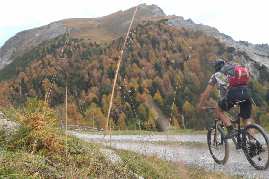
This Biketour starts in Curon/Graun near the tower in the lake at 1,500m. From the lake around the salient hill to Curon and then into the Langtaufers valley. After 100m turn right and cross the bridge. Than follow the way up until you reach the Grauner Alm Alpine Pasture. On top you can enjoy the beautiful panorama and take the same way back.

Suitable for dogs

Interesting facts

Read more
  • You're traveling a distance of 16 km on this moderate trail. The bike trail is therefore not too long. The average length of all bike Trails in South Tyrol is 31 km.
  • Elevated between 1,501 m and 2,153 m, the bike trail is among the 5 highest elevated bike Trails in Italy. You're facing an uphill climb of 906 vertical meters on this bike trail.
  • The trail is one of the dog friendly bike Trails in the region.

Contact

Ferienregion Reschenpass
Hauptstraße 22
39027
Reschen
E-Mail
%69%6e%66%6f%40%72%65%73%63%68%65%6e%70%61%73%73%2e%69%74
+39 0473 63 31 01
Travel Deals & Tips
Advertisement

Comments

Rate the Bike Trail
No posts available yet:
  • Nobody has posted on the wall of the Bike Trail "Grauner Alm Alpine Pasture - Edelweisstour" yet
  • Be the first to comment!
Login with Google+
  • Share your personal insider tip and create new entries
  • Explore fantastic outdoor destinations when and where you want
  • Find your dream destination or discover the world on the interactive map