Hike Endkopf mountain in the Vinschgau: Position on map

Hike Endkopf mountain

Endkopf mountain

Elevation

Min: 1,521 m
Max: 2,626 m
Uphill: 1,225 m
Downhill: 197 m
  • Upload GPS data
About the author
last update on 23 Sep 2022
Rate the Hike
0
(0)
Travel Deals & Tips
Advertisement
Advertisement
Advertisement
Facts
Difficulty
Moderate
Distance: 7.72 km
Duration:3 h 30 min
Min: 1,521 m
Max: 2,626 m
Uphill: 1,225 m
Downhill: 197 m

Best Season

Trail characteristics

Forest track
Hiking trail

Route description

© Ferienregion Reschenpass/Evelin Thöni

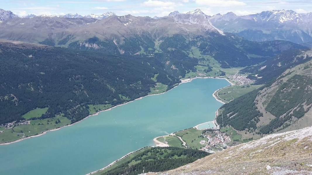
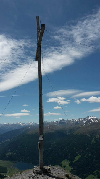
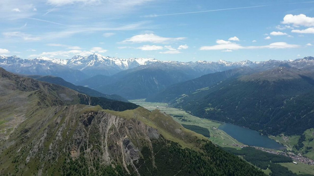
An outstanding mountaintop above Curon with a stunning view over the area of the lake of Resia

You start from Curon/Graun in direction to Langtaufers valley. After 1 kilometre of walk you cross the Karlinbach river and follow the trail no. 10 until you reach the Grauner Alm Alpine Pasture (not farmed). From there you follow again the trail no. 10 up to the peak. 

Sturdy shoes necessary

Interesting facts

Read more
  • You're traveling a distance of 8 km on this moderate trail. The hike is therefore not too long. The average length of all hikes in South Tyrol is 12 km.
  • Elevated between 1,521 m and 2,626 m, the hike is among the 10 highest elevated hikes in Italy. You're facing an uphill climb of 1225 vertical meters on this hike. This makes the hike one of the 10 hikes with the most ascent in Italy.
  • Sturdy hiking boots are recommended on this track.

Contact

Ferienregion Reschenpass
Hauptstraße 22
39027
Reschen
E-Mail
%69%6e%66%6f%40%72%65%73%63%68%65%6e%70%61%73%73%2e%69%74
+39 0473 63 31 01
Travel Deals & Tips
Advertisement

Comments

Rate the Hike
No posts available yet:
  • Nobody has posted on the wall of the Hike "Endkopf mountain" yet
  • Be the first to comment!
Login with Google+
  • Share your personal insider tip and create new entries
  • Explore fantastic outdoor destinations when and where you want
  • Find your dream destination or discover the world on the interactive map