Hike Edelweiß Meadow - Fluchtwand Circuit Nauders in the Tyrolean Oberland: Position on map

Hike Edelweiß Meadow - Fluchtwand Circuit Nauders

Edelweiß Meadow - Fluchtwand Circuit Nauders

Elevation

Min: 1,359 m
Max: 2,267 m
Uphill: 2,359 m
Downhill: 2,595 m
  • Upload GPS data
About the author
last update on 30 May 2017
Rate the Hike
0
(0)
Travel Deals & Tips
Advertisement
Advertisement
Advertisement
Facts
Difficulty
Moderate
Distance: 17.37 km
Duration:7 h
Loop trail
Min: 1,359 m
Max: 2,267 m
Uphill: 2,359 m
Downhill: 2,595 m

Trail characteristics

Dirt road
Forest track

Interesting facts

Read more
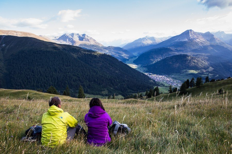
  • You're traveling a distance of 17 km on this moderate trail. The average length of all hikes in Tyrol is 15 km.
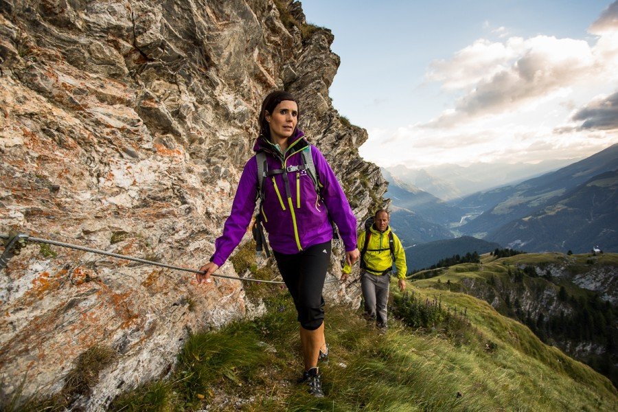
  • You're facing an uphill climb of 2359 vertical meters on this hike. This is quite much. You should be fit to do this track. The hike takes you to an elevation of 2,267 m.
  • The hike is one of the family friendly trails in the region. What’s even better: You can also bring the family’s best friend on this dog friendly hike. (See all dog friendly hikes in Tyrol.)
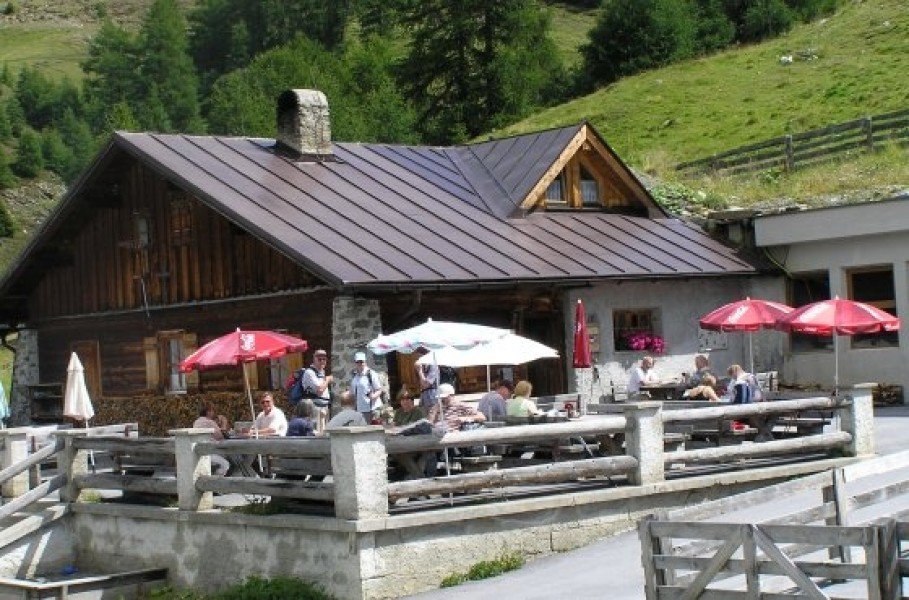
  • You shouldn’t forget to bring your hiking boots. There are some sections on the trail where sturdy footwear is required. There are places to buy beverages and food along the track. However it’s always recommended to bring enough water and food along with you.
Travel Deals & Tips
Advertisement

Comments

Rate the Hike
No posts available yet:
  • Nobody has posted on the wall of the Hike "Edelweiß Meadow - Fluchtwand Circuit Nauders" yet
  • Be the first to comment!
Login with Google+
  • Share your personal insider tip and create new entries
  • Explore fantastic outdoor destinations when and where you want
  • Find your dream destination or discover the world on the interactive map