Route description
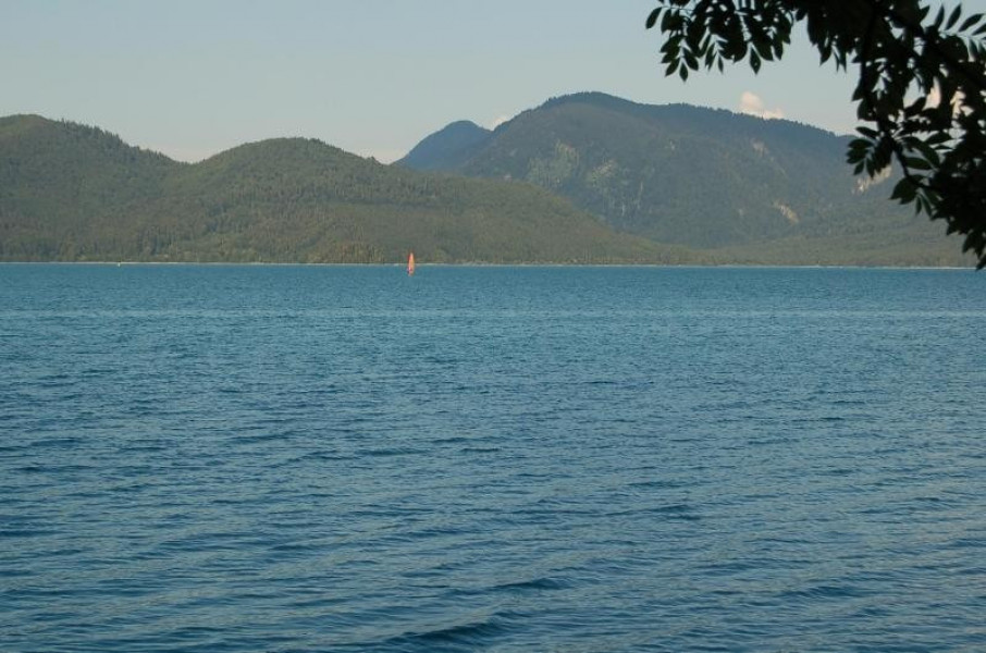
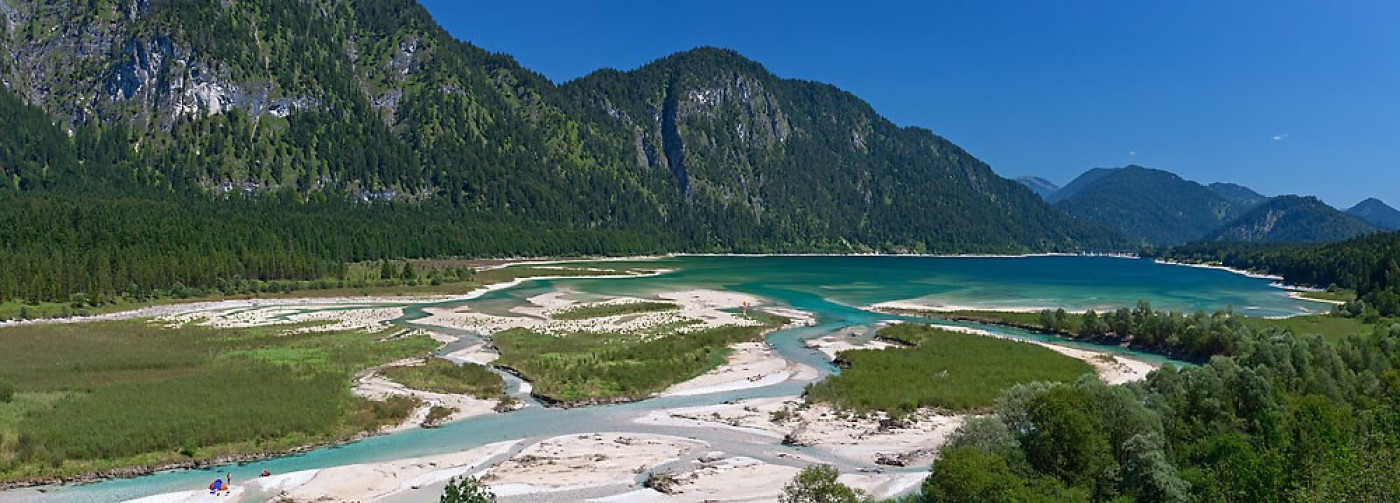
The starting point of the tour is the central train station in Lenggries. From here you ride southbound in the direction of Wegscheid and Leger. Change onto the federal highway, the Bundesstraße, and enjoy a ride through the beautiful landscapes of the Jachenau on the way to Niedernach am Walchensee. It's worth going on a detour via the toll road towards Einsiedel, where you can have a relaxing break in a nice beer garden and dip into Walchensee lake.
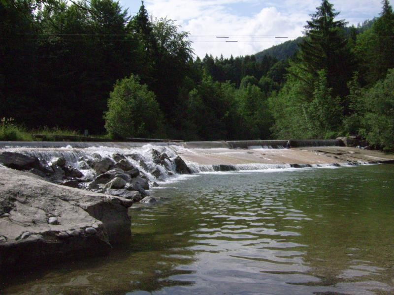
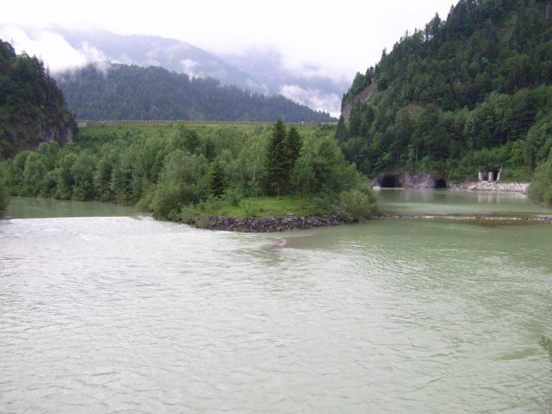
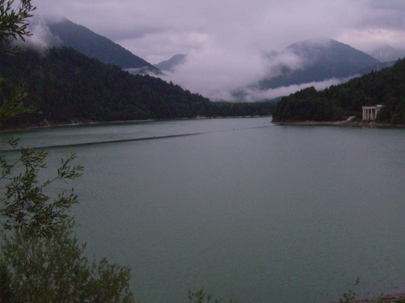
Follow the cycling path up to Wallgau and turn left just a few minutes after you have entered the town towards the golf course. Continue on the toll road that takes you to Vorderriss and keep riding on the Isar cycle path until you get to Lenggries, passing Sylvensteinsee lake. Once you have reached the pier, turn right and cross the tunnel. Carry on passing the Kavernenkraftwerk (powerhouse). Afterwards, cross the B13 and continue the tour on the designated cycling path along the road, taking you via Winkl and Fleck back to the starting point of the tour in Lenggries.
Interesting facts
- With an overall length of 74 km the bike trail is among the 10 longest bike Trails in Germany available on TouriSpo.
- Lenggries – Jachenau – Walchensee – Sylvensteinsee is among the 3 best rated Bike Trails in Germany.
- Elevated between 672 m and 898 m, the bike trail is among the 3 highest elevated bike Trails in Germany. You're facing an uphill climb of 455 vertical meters on this bike trail.
- If you get hungry along the way, there are places to rest and get food. Nevertheless it’s recommended to also have enough water and food in your backpack when hiking or biking.
Getting here
By car:
Take the B13 towards Lenggries. You can leave your car at Isar car park.
On public transport:
Take the BOB (Bavarian Oberlandbahn) towards Lenggries.