Route description
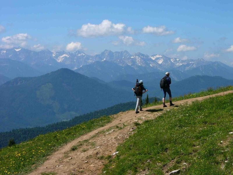
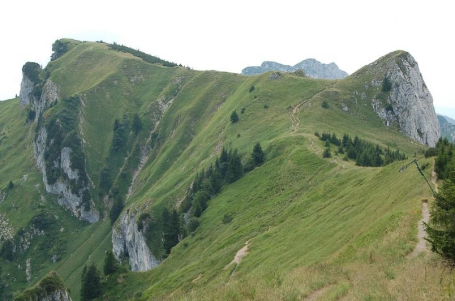
Start by taking the ropeway up mountain Brauneck. Up there, start following the Little High Route (kleiner Höhenweg), cross the peak, and walk to the mountain hut Brauneckhaus. Afterwards, hike across beautiful mountain meadows until you reach the mountain hut Tölzer Hütte. Get back to the ropeway station via a fully developed high route, suitable even for buggies. From there you can either walk down into the valley or take the ropeway.
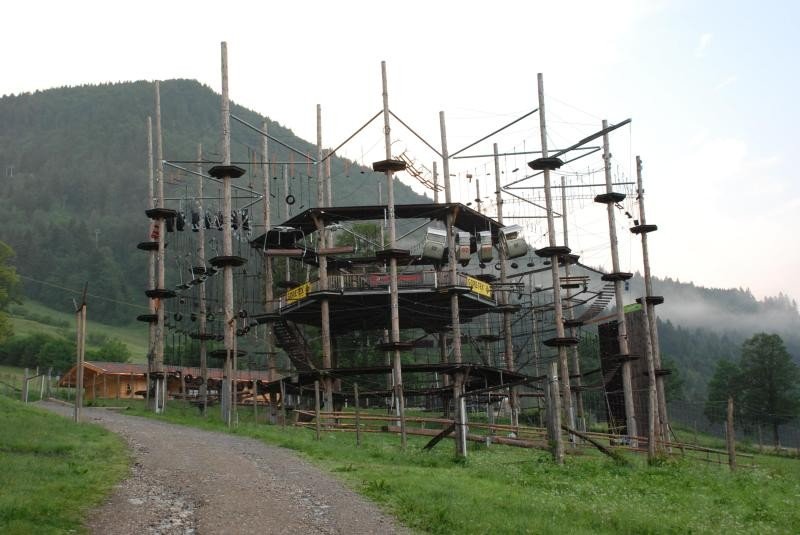
The nearby high rope course Isarwinkel is also worth a visit.
Interesting facts
- You're traveling a distance of 2 km on this easy trail. The hike is therefore not too long. The average length of all hikes in Bavaria is 49 km.
- Lenggries – Brauneck; Little High Route is among the 15 best rated Hikes in Germany.
- Elevated between 1,456 m and 1,555 m, the hike is among the 10 highest elevated hikes in Germany. You're facing an uphill climb of 158 vertical meters on this hike. The track is therefore relatively flat.
- The hike is one of the family friendly trails in the region.
- In case of good weather conditions, the hike can also be done without bringing your hiking boots. There are places to buy beverages and food along the track. However it’s always recommended to bring enough water and food along with you.
Highlights of the tour
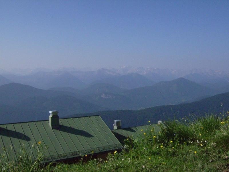
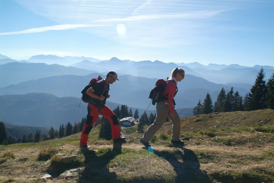
Highlight of this tour is the panoramic view across the Bavarian lakes and the Northern Alps.
Equipment
Ordinary sturdy shoes are sufficient. We recommend weather appropriate clothing.
Getting here
By car:
Via B13 to Lenggries and towards Brauneck ropeway.
On public transportation:
Get to Lenggries by Bayrische Oberlandbahn (BOB), a private railway company based in Holzkirchen, Bavaria.
Starting point is at the bottom of the ropeway in Brauneck. Parking is available.