

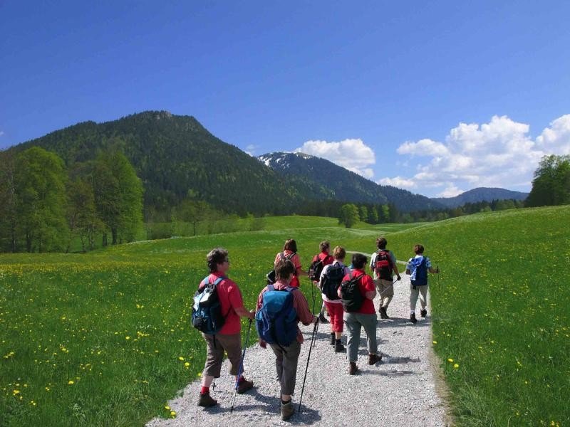

Route description
First follow the ascending path towards alp Reiser-Alm past the guest-house Jägerstüberl. Shortly afterwards, a forest road branches off to the right towards Längental. Follow that road and cross the steep road Jägersteig until you reach the so called 'Kreuz'. Keep straight and do not fall back on one of the forest roads. Keep following the path until you reach the guest-house Längental-Almen (runs only during season) and the hill moor.
Afterwards, follow the descending path till you reach the mountain hut Kirchsteinhütte. Now change on to the forest road and walk alongside river Arzbach until you reach the farms Seilboldhöfen. Towards Lenggries take the west high route and pass farms and barracks. Head back down from the farms Gilgenhöfen.
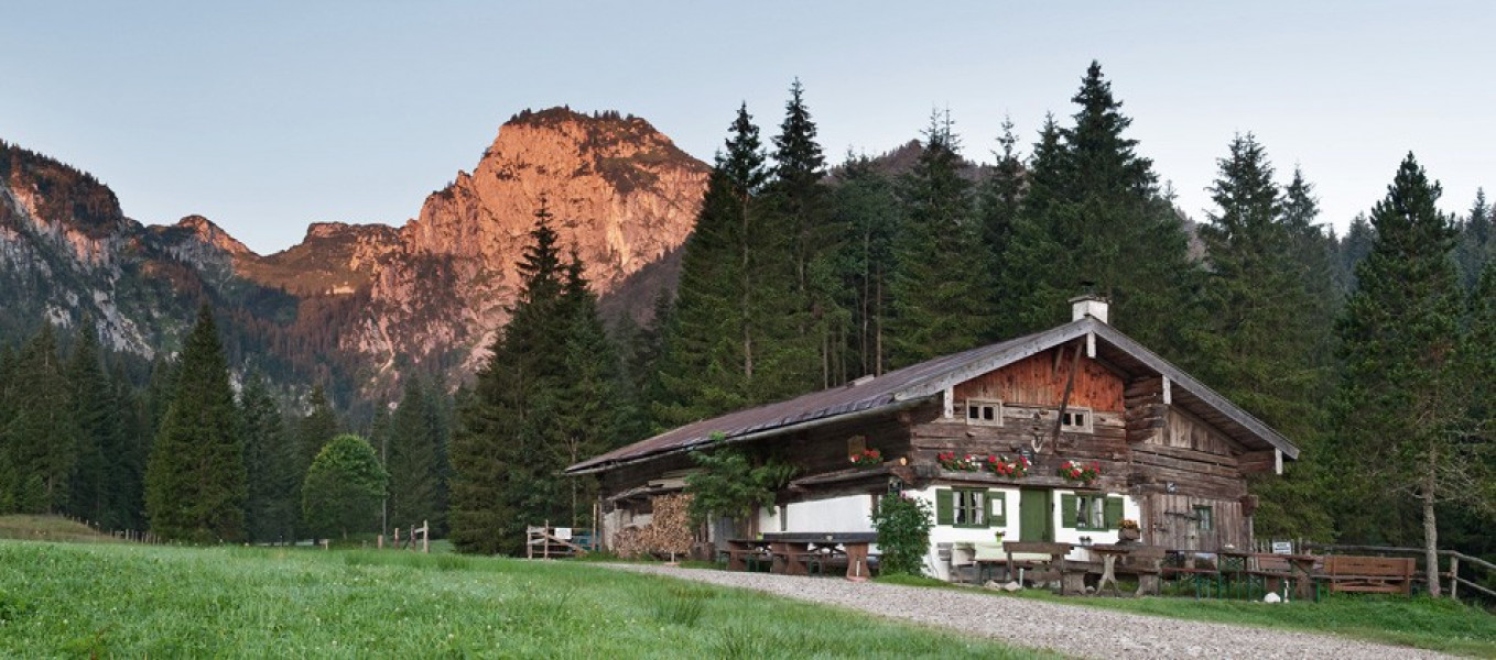
Where to eat
Enjoy the guest-houses along the hike. During season they produce their own milk and cheese and make homemade cakes.
Interesting facts
- You're traveling a distance of 16 km on this moderate trail. Average length of all hikes in Bavaria is 49 km.
- You're facing an uphill climb of 523 vertical meters on this hike. The high point of the hike is located at an elevation of 1,046 m.
- This moderate hike is perfect for the whole family. The hike is also perfect if the kid’s wanna bring their dog on the trip. (See all dog friendly hikes in Bavaria.)
- Sturdy hiking boots are recommended on this track. If you get hungry along the way, there are places to rest and get food. Nevertheless it’s recommended to also have enough water and food in your backpack when hiking or biking.
Equipment
Sturdy shoes and weather appropriate clothing are recommended.
Getting here
By car:
Via B13 to Lenggries and towards Brauneck ropeway.
On public transportation:
Take Bayrische Oberlandbahn (BOB), a private railway company based in Holzkirchen, Bavaria, to Lenggries.
Starting point is the parking lot at the bottom of the ropeway in Brauneck. Parking available.