Route description
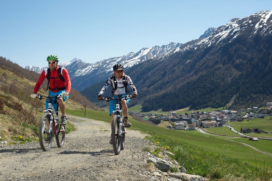
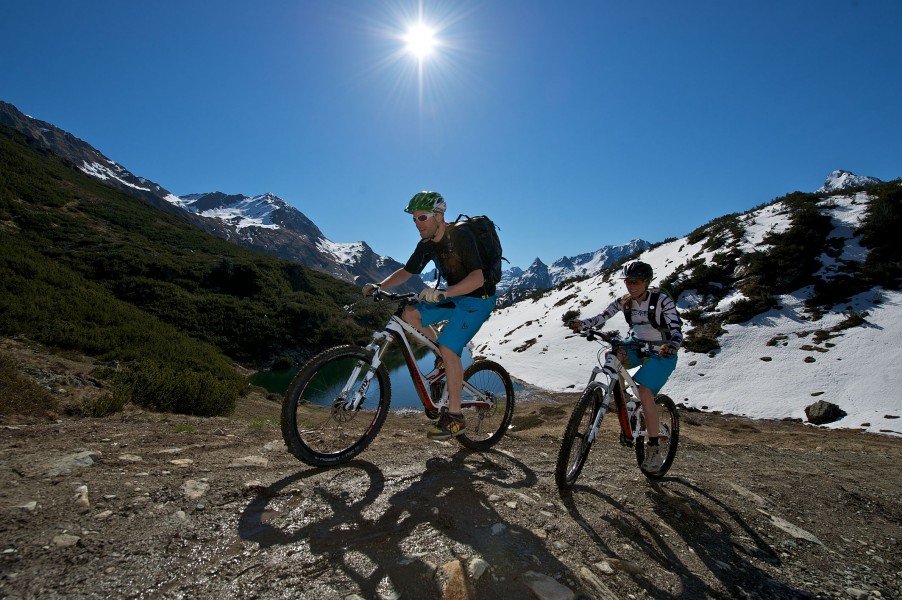
19 km/ 11.8 miles, 640 metres/ 700 yards in altitude and a fantastic panorama view: The Jamtal (valley) tour is a fine track to experience for both racers and tour cyclists alike. Among mountaineers, the Jamtal is already well-known and an ideal combination of relatively easy gravel path ascents and a breath-taking panorama view on the Jamtal glacier. The Jamtalhütte (hut) is located at an altitude of 2165 m/ 2367 miles. It offers an invitation to stop for a meal en route. What follows is a comfortable slope downhill on the gravel path tour.
Interesting facts
- You're traveling a distance of 20 km on this easy trail. The bike trail is therefore not too long. Average length of all bike Trails in Tyrol is 36 km.
- Elevated between 1,549 m and 2,155 m, the bike trail is among the 3 highest elevated bike Trails in Austria. You're facing an uphill climb of 624 vertical meters on this bike trail.
- If you get hungry along the way, there are places to rest and get food. Nevertheless it’s recommended to also have enough water and food in your backpack when hiking or biking.
Getting here
By car
Via the German motorways A7 or A95 you'll be travelling towards the south. Then, you'll continue on the Fernpassbundesstraße (B179) via Imst and Landeck onto the motorway A12 and further to the S16, the Arlbergschnellstraße (Alberg fast track) until you exit at Pians. From there, you'll be travelling approximately 30 km/ 18.6 miles on the Silvretta Bundesstraße (B188) in the direction of Galtür.
Drive on the German motorway A93 in the direction of Innsbruck. On the Austrian Inntalautobahn A12 via Kufstein, Innsbruck and Landeck you get to the S16 (Arlbergschnellstraße) until you'll exit at Pians. You'll stay on the Silvretta Bundesstraße (B188) for further 30 km/ 18.6 miles in the direction of Galtür.
Via the motorway A96 in the direction of Lindau you'll get to the Austrian A14. Then, you'll continue via Bregenz, Feldkirch and through the Arlbergtunnel onto the A16 until you exit at Pians. You'll continue your trip on the Silvretta Bundesstraße (B188) in the direction of Galtür. In the summer, you can also exit the motorway at Bludenz and get to Galtür using the Silvretta Hochalpenstraße (high alpine road).