Route description
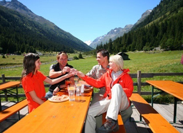
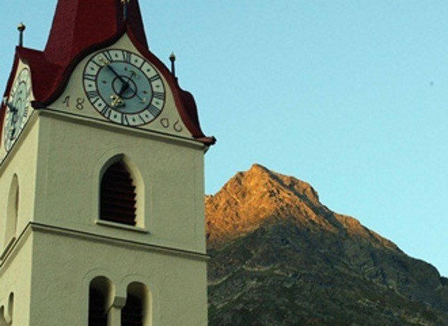
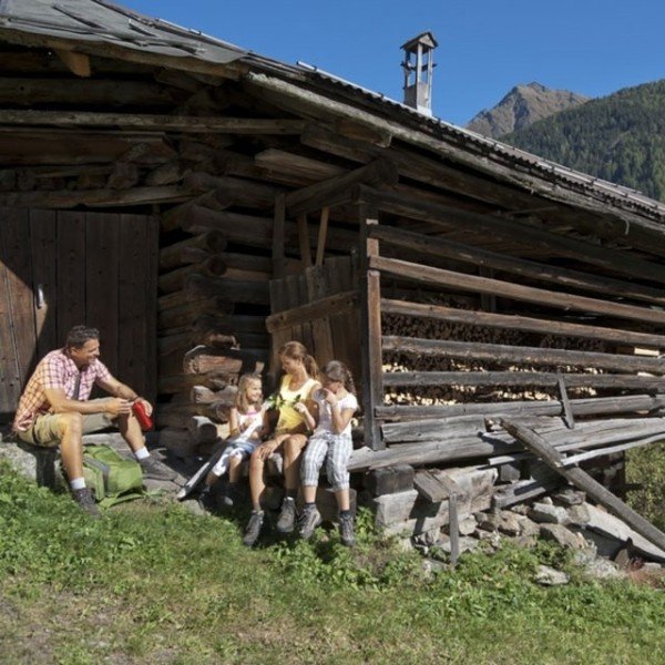
From the village square in Galtür the hiking tour leads towards the west passing the Alpinarium, which is famous for its combination of a protection wall and gallery building, making its architecture a unique piece of art. Here you turn left towards the district Winkl and walk on until you reach the hiking path in the direction of Jamtal (valley). From the moment of entering the Jamtal you'll be enjoying a magnificent view on the Jamtal glacier. On the Menta Alm and the Scheibenalm this tour offers two cozy pubs which invite to dwell longer here.
In addition, you'll have the opportunity to taste the Paznauner culinary specialties. Especially towards the end of June/ beginning of July the flourishing Alpine roses will on top make an impressive hiking scenery.
You'll be able to return to the starting point the same way back.
Interesting facts
- You're traveling a distance of 12 km on this easy trail. Average length of all hikes in Tyrol is 15 km.
- Make sure to bring sturdy footwear on this track. Hiking boots are highly recommended. If you get hungry along the way, there are places to rest and get food. Nevertheless it’s recommended to also have enough water and food in your backpack when hiking or biking.
Getting here
By car:
Drive towards the south using the German A7 or A95. Transfer to the Fernpassbundesstraße (B179) via Imst and Landeck onto the motorway A12 and further on to the S16 (Arlbergschnellstraße) until you exit at Pians. From there you will be driving appr. 30 km (18.6 miles) on the Silvretta Bundesstraße (B188) in the direction of Galtür.
On the German side, you take the A93 in the direction of Innsbruck. You continue on the Austrian Inntalautobahn (A12) via Kufstein, Innsbruck and Landeck until you reach the S16 (Arlbergschnellstraße) up to the exit at Pians. From here you only have appr. 30 km (18.6 miles) left to be driven on the Silvretta Bundesstraße (B188) in the direction of Galtür.
First, you'll be driving on the A96 in the direction of Lindau towards Austria onto the A14. You'll then continue via Bregenz, Feldkirch and the Arlberg tunnel onto the S16 until you exit at Pians. From there you'll be driving for a distance of appr. 30 km (18.6 miles) on the Silvretta Bundesstraße (B188) in the direction of Galtür. In summer, you can also leave the motorway at Bludenz and use the Silvretta Hochalpenstraße instead to get to Galtür.