
Route description
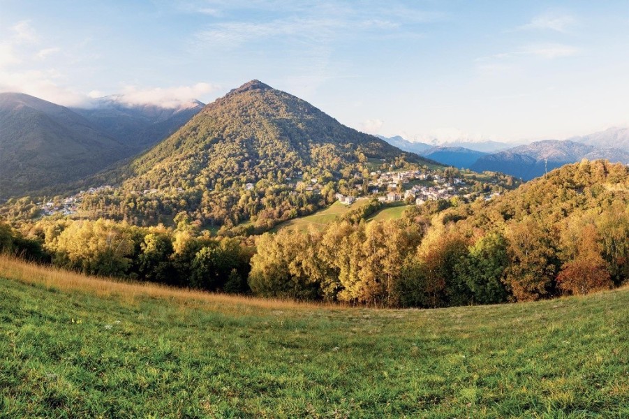
The Kastanienweg (Sentiero del Castagno) in the Alto Malcantone takes you on a scenic linear hike from Arosio to Breno through one of Ticino's most enchanting cultural landscapes. Starting from the village square in Arosio — the highest village in the Malcantone — the themed trail winds through chestnut groves and birch forests, across flowering meadows and along idyllic streams through five picturesque Ticino villages. For centuries, the chestnut was the region's most important foodstuff, keeping the population from hunger. Eight information boards along the way tell the story of its cultivation, processing and significance.
From Arosio via Mugena to Vezio
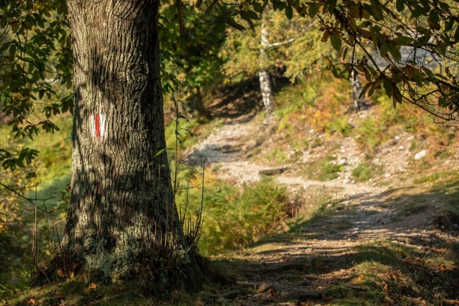
In Arosio, a glance at the Church of San Michele is worthwhile before setting off — its entrance door is crafted from chestnut wood, and a sundial dates from 1664. From the village square, the trail — marked with a chestnut on a yellow background — leads a few metres down the main road before turning right into the forest. Within just a few steps, you find yourself in a beautiful chestnut and birch wood. In a steady, gentle rhythm of ascent and descent, the path crosses open terrain and light groves to Mugena and on to Vezio. Along the way, you pass a Metato (grà) — a historic stone building where chestnuts were once laid out on wooden grids and dried over a gentle fire to preserve them for months.
From Fescoggia to Breno
From Vezio, the trail continues to Fescoggia, a small, typically Ticino village with a refreshment stop at the bus stop. From here, the route leads via Al Ponte — the lowest point of the hike — and through Mugena on to Breno, the end point of the Kastanienweg. All villages along the trail have a bus connection to Lugano, so you can plan your return journey flexibly.
Where to eat
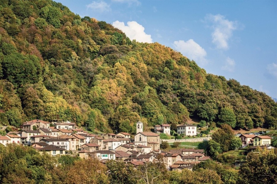
Several grotti — the traditional Ticino open-air inns — invite a stop along the Kastanienweg. The Grotto San Michele lies on the path between Mugena and Arosio; the Grotto Sgambada is reached with a short detour from Arosio. In Fescoggia, a restaurant sits right by the bus stop. The grotti serve regional specialities such as polenta, salumi and, naturally, chestnut dishes — a special experience in autumn.
Interesting facts
- You're traveling a distance of 9 km on this easy trail. The hike is therefore not too long. Average length of all hikes in Ticino is 12 km.
- You're facing an uphill climb of 375 vertical meters on this hike. The highest point of the track is 954 m above sea level.
- Don’t hesitate to take your kids along on this easy hikes. The hike is also perfect if the kid’s wanna bring their dog on the trip.
- Make sure to bring sturdy footwear on this track. Hiking boots are highly recommended. If you get hungry along the way, there are places to rest and get food. Nevertheless it’s recommended to also have enough water and food in your backpack when hiking or biking.
Highlights of the tour
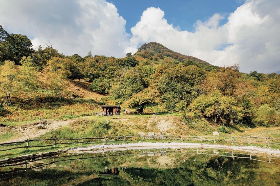
From the very first steps into the chestnut forest behind Arosio, it is clear why this themed trail ranks among the most popular hikes in the Lugano region. The selve — the historically tended chestnut groves — stand out as light, sun-drenched clearings in the dense beech forest, creating an atmosphere all their own. The Metato between Mugena and Vezio offers a vivid insight into traditional chestnut processing. The five Ticino villages along the route are each a little gem in their own right, with stone houses, narrow lanes and flowering gardens. And anyone standing at the viewpoint with its fire pit on a clear autumn day, gazing across the rolling hills to Monte Rosa, will understand why Ticino is called the sun parlour of Switzerland.
Variations
Those wanting to shorten the tour can switch to the bus to Lugano at any village — all have a bus stop. Alternatively, the hike can be extended into a roughly 15-kilometre circular tour by returning from Breno to Arosio.
Equipment
The Kastanienweg is an easy themed trail with no technical difficulties — good footwear with a grippy sole is sufficient. In wet conditions, the forest paths can be slippery. Plenty of water and sun protection belong in your pack. In autumn, it is worth bringing a bag for any chestnuts you pick up along the way.
Getting here
By Car
There are several parking options available in Arosio.
By Public Transportation
PostAuto bus 423 stops in Arosio several times a day.