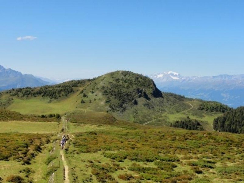
Hike Dreibündenstein Panoramic Trail in Chur: Position on map

Hike Dreibündenstein Panoramic Trail

Dreibündenstein Panoramic Trail

Elevation

Min: 1913 ft
Max: 7093 ft
Uphill: 3363 ft
Downhill: 180 ft
  • Upload GPS data
About the author
last update on Aug 16, 2017
Rate the Hike
0
(0)
Travel Deals & Tips
Advertisement
Advertisement
Advertisement
Facts
Difficulty
Advanced
Distance: 11.69 miles
Duration:4 h 15 min
Min: 1913 ft
Max: 7093 ft
Uphill: 3363 ft
Downhill: 180 ft

Trail characteristics

Forest track
Hiking trail

Interesting facts

Read more
  • With an overall length of 12 miles the hike is among the 10 longest hikes in Switzerland available on TouriSpo.
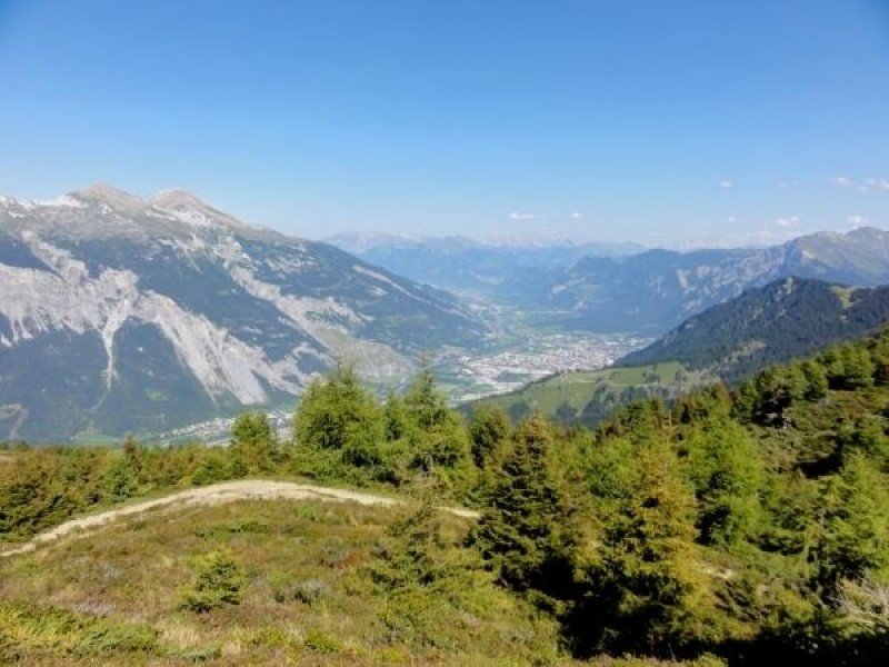
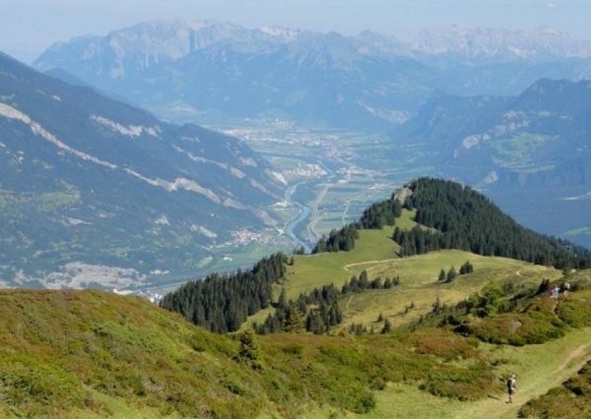
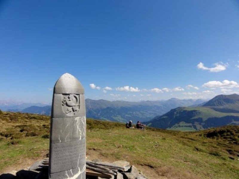
  • You're facing an uphill climb of 1025 vertical meters on this hike. This makes the hike one of the 15 hikes with the most ascent in Switzerland. The hike takes you to an elevation of 7093 ft.
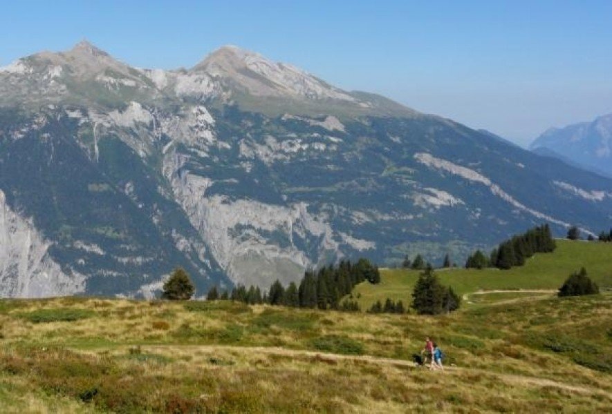
  • You shouldn’t forget to bring your hiking boots. There are some sections on the trail where sturdy footwear is required.

Contact

Graubünden Ferien
Alexanderstraße 24
7001
Chur
E-Mail
%63%6f%6e%74%61%63%74%40%67%72%61%75%62%75%65%6e%64%65%6e%2e%63%68
+41 (0) 81 254 24 24
Travel Deals & Tips
Advertisement

Comments

Rate the Hike
No posts available yet:
  • Nobody has posted on the wall of the Hike "Dreibündenstein Panoramic Trail" yet
  • Be the first to comment!
Login with Google+
  • Share your personal insider tip and create new entries
  • Explore fantastic outdoor destinations when and where you want
  • Find your dream destination or discover the world on the interactive map