Hike Educational trail:

Hike Educational trail: "Rauriser Urwald" no. 30

Educational trail: "Rauriser Urwald" no. 30

Elevation

Min: 1,693 m
Max: 1,737 m
Uphill: m
Downhill: 29 m
  • Upload GPS data
Rate the Hike
0
(0)
Travel Deals & Tips
Advertisement
Advertisement
Advertisement
Facts
Difficulty
Easy
Distance: km
Loop trail
Min: 1,693 m
Max: 1,737 m
Uphill: m
Downhill: 29 m

Trail characteristics

Dirt road
Forest track
Hiking trail

Interesting facts

Read more
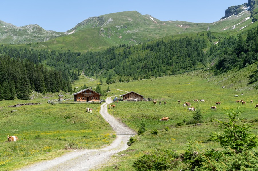
  • You're traveling a distance of 2 km on this easy trail. The hike is therefore not too long. The average length of all hikes in Salzburg is 15 km.
  • You're facing an uphill climb of 4 vertical meters on this hike. The track is therefore relatively flat. The high point of the hike is located at an elevation of 1,737 m.
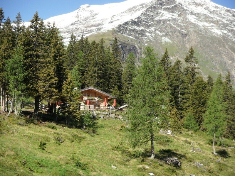
  • This easy hike is perfect for the whole family. What’s even better: You can also bring the family’s best friend on this dog friendly hike. (See all dog friendly hikes in Salzburg.)
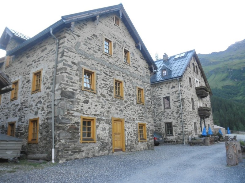
  • In case of good weather conditions, the hike can also be done without bringing your hiking boots. There are places to buy beverages and food along the track. However it’s always recommended to bring enough water and food along with you.

Contact

Tourismusverband Rauris
Sportstr. 2
5661
Rauris
E-Mail
%69%6e%66%6f%40%72%61%75%72%69%73%65%72%74%61%6c%2e%61%74
Phone+43 6544 200 22
Fax+43 6544 200 22 60 30
Travel Deals & Tips
Advertisement

Comments

Rate the Hike
No posts available yet:
  • Nobody has posted on the wall of the Hike "Educational trail: "Rauriser Urwald" no. 30" yet
  • Be the first to comment!
Login with Google+
  • Share your personal insider tip and create new entries
  • Explore fantastic outdoor destinations when and where you want
  • Find your dream destination or discover the world on the interactive map