Route description
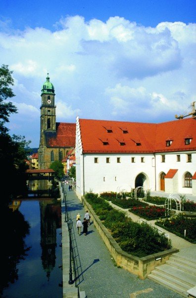
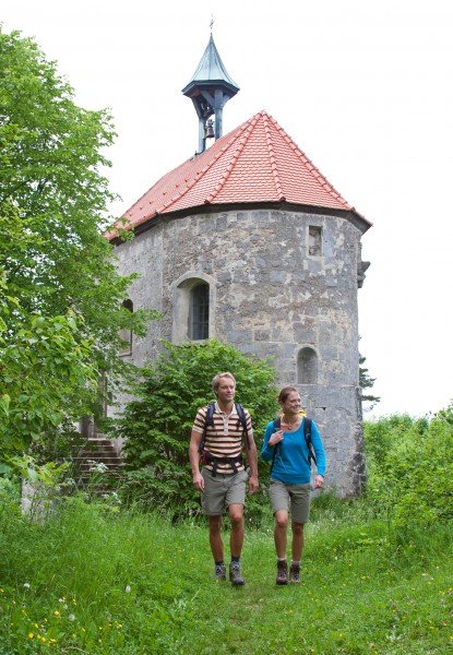
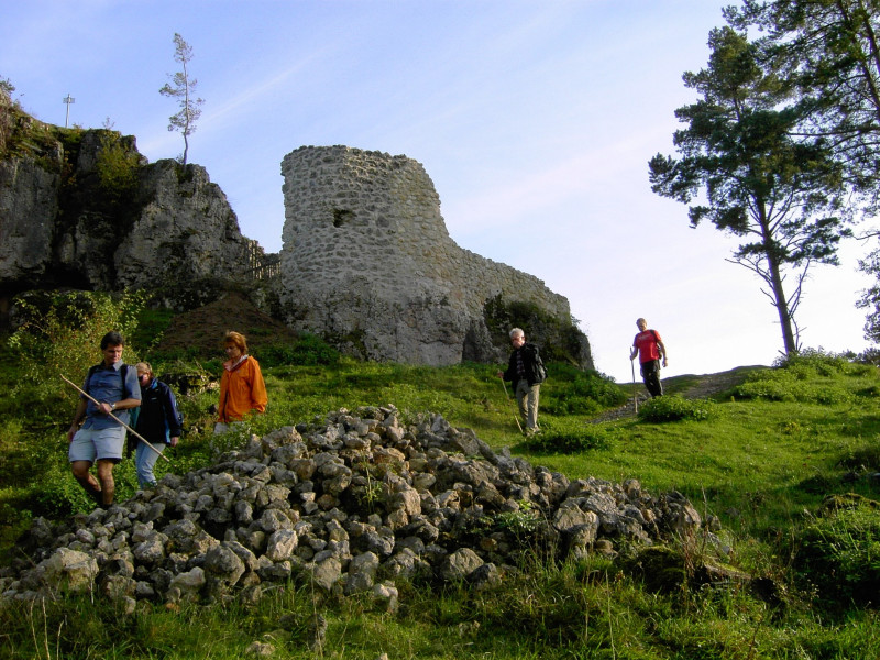
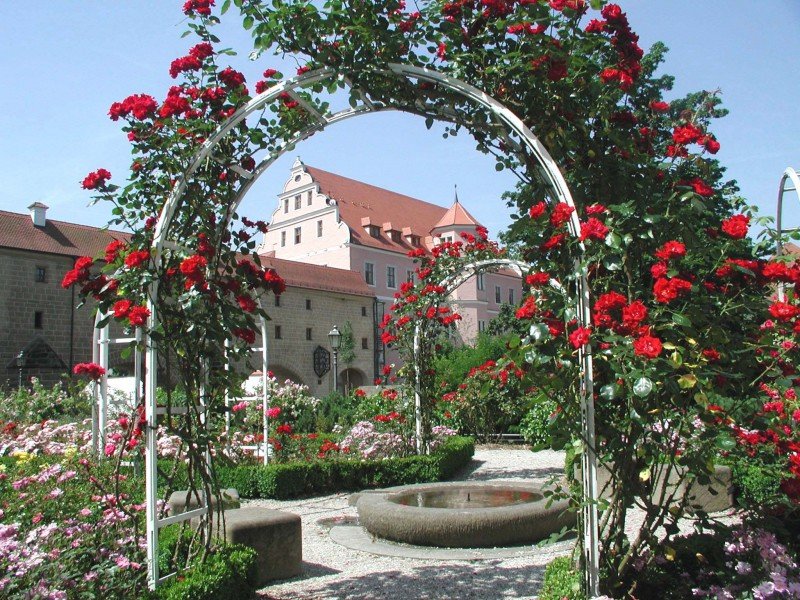
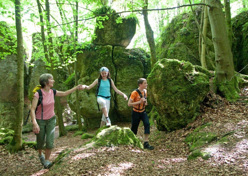
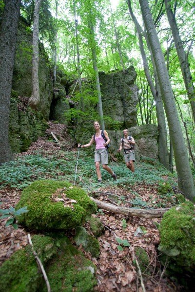
Extending over 200km/124mi, Erzweg trail features numerous sights and highlights. The historic hiking trail leads you through beautiful and varied nature, with forests as well as meadows and fields. As ore has played a considerable role in the history of this region, it is a theme that can be found all over the trail. The hike divides into 10 stages.
- Stage 1: From Pegnitz to Michelfeld
- Stage 2: From Michelfeld to Auerbach
- Stage 3: From Auerbach to Neuhaus
- Stage 4: From Neuhaus to Etzelwang
- Stage 5: From Etzelwang to Lichtenegg
- Stage 6: From Lichtenegg to Sulzbach-Rosenberg
- Stage 7: From Sulzbach-Rosenberg to Amberg
- Stage 8: From Amberg to Paulsdorf
- Stage 9: From Paulsdorf to Theuern
- Stage 10: From Theuern to Heimhof
Sturdy shoes necessary
Overnight stay available
Eating options available
Interesting facts
- With an overall length of 151 km the hike is among the 15 longest hikes in Germany available on TouriSpo.
- Erzweg Trail is among the 15 best rated Hikes in Germany.
- You shouldn’t forget to bring your hiking boots. There are some sections on the trail where sturdy footwear is required. If you get hungry along the way, there are places to rest and get food. Nevertheless it’s recommended to also have enough water and food in your backpack when hiking or biking.
Equipment
Sturdy shoes are recommended throughout.
Getting here
By car
You can go to the Amberg-Sulzbacher Land region from motorways A6, A9, or A93. The tour starts in Pegnitz.
Public Transportation
Traveling by rail, you should go to one of the stations in Etzelwang, Neukirchen bei Sulzbach-Rosenberg, Amberg, or Sulzbach-Rosenberg. Buses operate on a regular basis and take you to Pegnitz.