Route description
Stage 1:
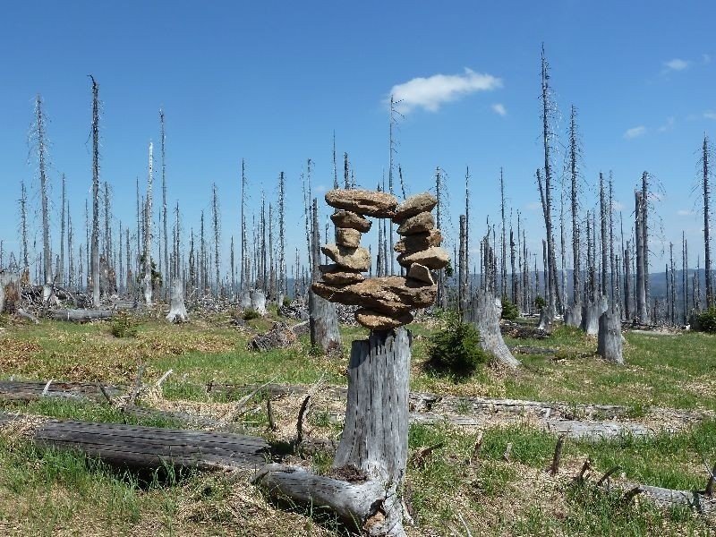
Starting at the car park in Gfäll, follow the path "Bärlapp" leftbound. After approximately 20 minutes, turn sharply right, still following Bärlapp, and start ascending on the steep and rooty path called Klingenbrunner-Rachelsteig. Afterwards, hike upwards through the forest for about half an hour until you reach the hut Waldschmidthaus. Up there, where the forest cover is already very light, you can have a short rest at the well located guesthouse. From there you should definitely take a detour to the right, where you will have a gorgeous view over lake Rachel.
Stage 2:
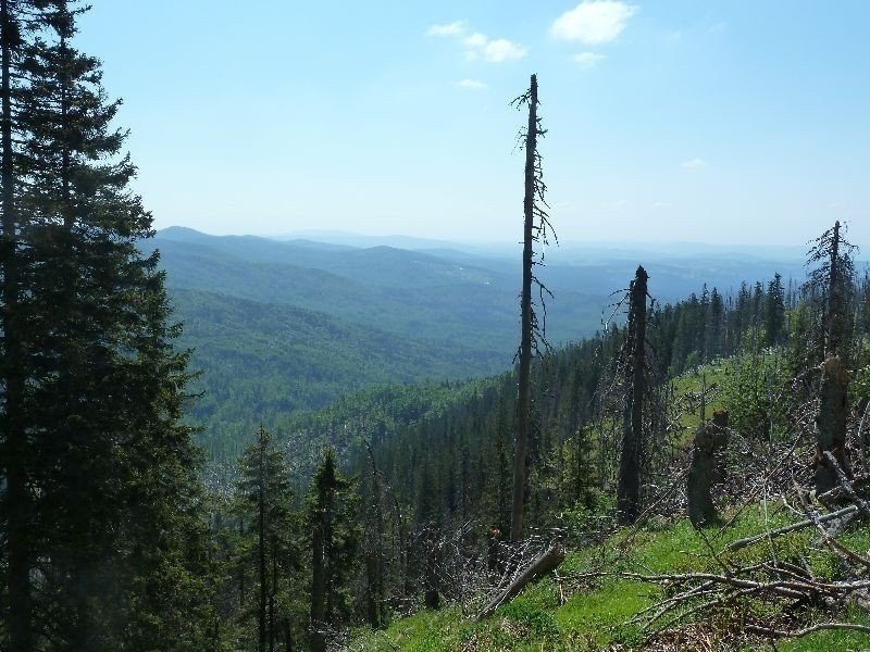
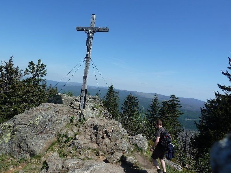
After the short break, continue via the path Goldsteig (yellow S). On stony stairs, climb up to the peak of Großer Rachel. There you will have a magnificent view across the Bavarian Forest and even until the Bohemian Forest on the Czech side.
Stage 3:
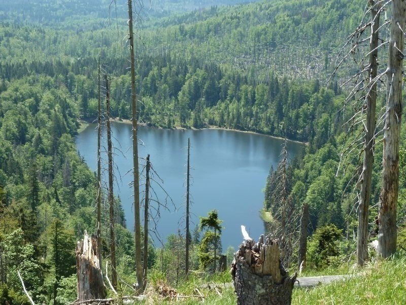
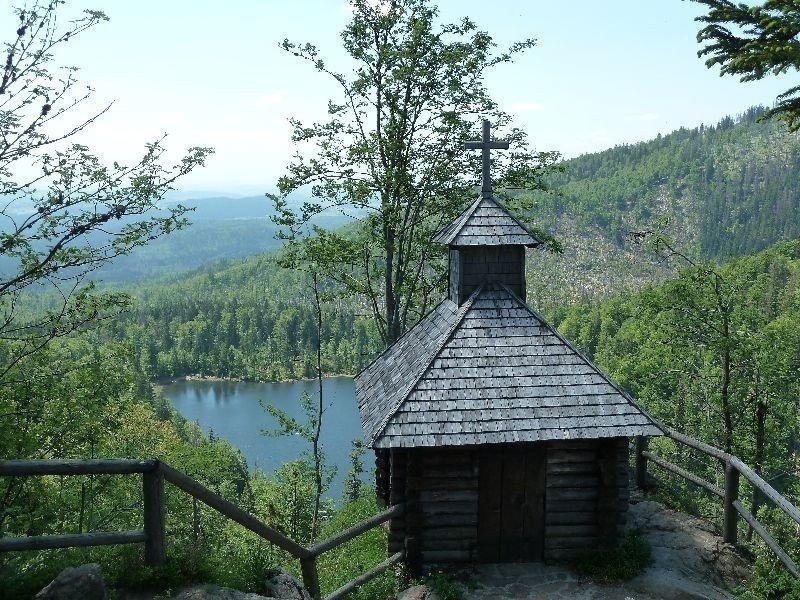
From the peak, ascend to the left on a very steep and rocky path and enjoy the view across the Bohemian Forest. Again, a little detour is worth the trouble. On Auerhanweg you will get to chapel Rachelkapelle, which is located right above lake Rachel and provides a wonderful view. Ideal to rest.
Stage 4:
Continue descending through a virgin forest area. Follow the paths 'Goldsteig' and 'Specht' along a small stream towards Felsenkanzel, a hut with a view of mountain Rachel. Only another half an hour and you will reach the last stop of the hike, hut Racheldiensthütte.
Stage 5:
Right underneath Racheldiensthütte you will find a car park and a bus stop from where you head back to Spiegelau.
Interesting facts
- You're traveling a distance of 12 km on this moderate trail. Average length of all hikes in Bavaria is 49 km.
- Elevated between 855 m and 1,454 m, the hike is among the 15 highest elevated hikes in Germany. You're facing an uphill climb of 717 vertical meters on this hike.
- You shouldn’t forget to bring your hiking boots. There are some sections on the trail where sturdy footwear is required. If you get hungry along the way, there are places to rest and get food. Nevertheless it’s recommended to also have enough water and food in your backpack when hiking or biking.
Highlights of the tour
Definitely go the detour from Waldschmidthaus to enjoy the view of lake Rachel as well as mount Lusen. Furthermore, of course, the view from Rachel's peak over the entire national park and its untouched nature is absolutely stunning.
Equipment
There are many steep ascends. Parts of the trail are rooty or rocky. Hence, sturdy shoes, or even hiking boots are absolutely necessary.
Getting here
By bus: vrom Spiegelau with Igelbus 7575 to car park Gfäll with bus stop Gfäll.
By car: Drive to car park Gfäll, where you can leave your car.