at the Hunsrück: Position on map")

Route description
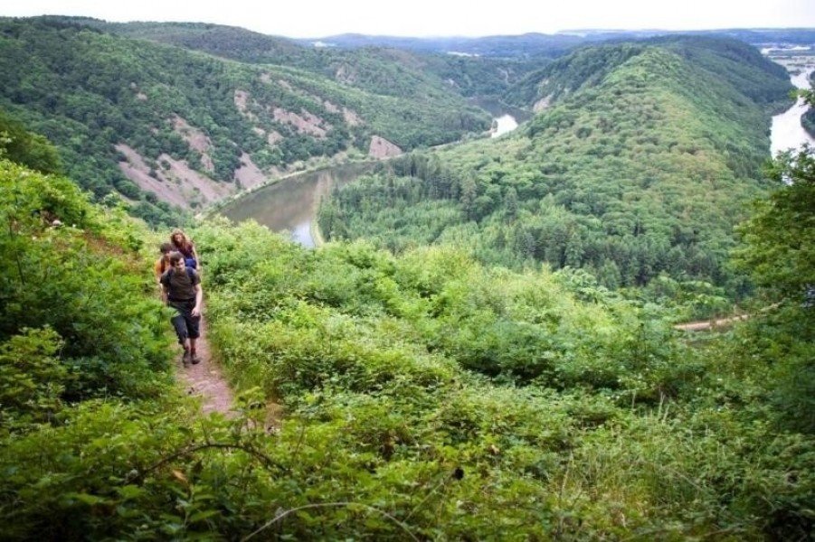
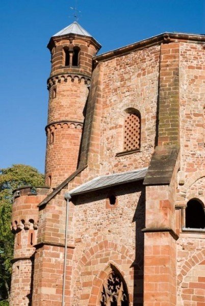
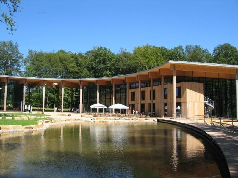
The second stage of Saar-Hunsrück-Steig trail starts in Hellendorf, where you hike into the beautiful forest, picturesque with its small streams and pond. Further on, you walk through nature park Saar-Hundsrück, and enjoy the view as a reward for your ascent. With Cloef-Atrium featuring several exhibitions, you can even integrate some culture into your hike. Along river Saar, you hike on to Mettach, which is the destination of this stage.
Sturdy shoes necessary
Eating options available
Interesting facts
- With an overall length of 16 km the hike is among the 3 longest hikes in the Rhineland-Palatinate available on TouriSpo.
- Hellendorf to Mettlach (Saar-Hunsrück-Climb) is among the 3 best rated Hikes in the Rhineland-Palatinate.
- Sturdy hiking boots are recommended on this track. There are places to buy beverages and food along the track. However it’s always recommended to bring enough water and food along with you.
Equipment
Suitable hiking shoes are necessary, as paths can be slippery.
Getting here
By car
- From North Germany: motorway A1 and E422 via Koblenz
- From East Germany: motorway A8 and E52 via Karlsruhe, or Motorway A6 and E50 via Mannheim
- From Strasbourg: motorway A4 and E25
Public transportation
All of Saar-Hunsrück-Steig is well connected with trains and buses.