
Route description
This hike is almost 34km/21mi long, and features 40% of natural, untouched trails so that you can really become one with nature. If you want to do the classic east to west hike, the best place to start is the green area Webesplatz. You hike up Hackelberg, then through Züschener Wald onto Ziegenhelle, where you enjoy a beautiful view.
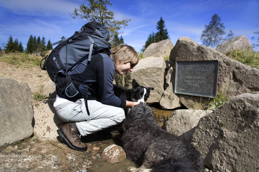
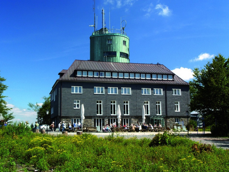
Through the woods you keep walking through pristine nature, the forest village Mollseifen, and finally up Kahler Asten, the second highest mountain in North Rhine-Westphalia. Proceed via Altastenberg, Großes Bildchen, Waldmei, Schellhorn, and Weißes Kreuz until you eventually reach Winkhausen in Schmallenberg.
Interesting facts
- With an overall length of 33 km the hike is among the 5 longest hikes in North Rhine-Westphalia available on TouriSpo.
- Elevated between 408 m and 838 m, the hike is among the 3 highest elevated hikes in North Rhine-Westphalia. You're facing an uphill climb of 933 vertical meters on this hike. This makes the hike one of the 5 hikes with the most ascent in North Rhine-Westphalia.
- You shouldn’t forget to bring your hiking boots. There are some sections on the trail where sturdy footwear is required. There are places to buy beverages and food along the track. However it’s always recommended to bring enough water and food along with you.
Getting here
Public transportation
- Bus 356 stop Züschen-Mitte
- From Altastenberg or Winkhausen back to the start: S40 to Winterberg, then bus 356
By car
From the directions of Winterberg or Hallenberg, follow B236, then follow the signs to Züschen. Sufficient space for your car is available at Webesplatz car park.