Hike Innergschlöss Glacier Trail East Tyrol in East Tyrol: Position on map

Hike Innergschlöss Glacier Trail East Tyrol

Innergschlöss Glacier Trail East Tyrol

Elevation

Min: 1,505 m
Max: 2,805 m
Uphill: 1,485 m
Downhill: 1,508 m
  • Upload GPS data
About the author
last update on 4 May 2021
Rate the Hike
2
(1)
Travel Deals & Tips
Advertisement
Advertisement
Advertisement
Facts
Difficulty
Easy
Distance: 23.24 km
Duration:1 day
Loop trail
Min: 1,505 m
Max: 2,805 m
Uphill: 1,485 m
Downhill: 1,508 m

Trail characteristics

Hiking trail
Experts only

Interesting facts

Read more
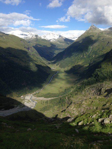
  • You're traveling a distance of 23 km on this easy trail. This makes it a relatively long hike. The average length of all hikes in Tyrol is 15 km.
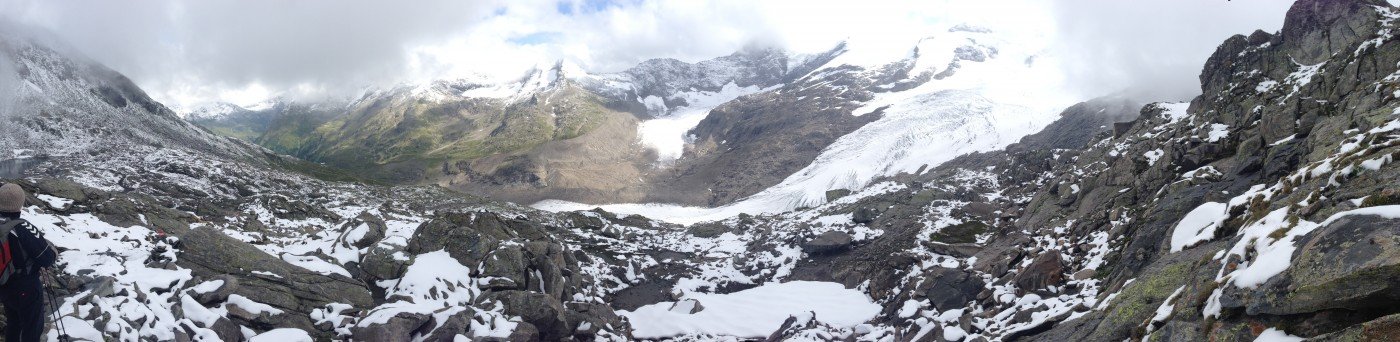
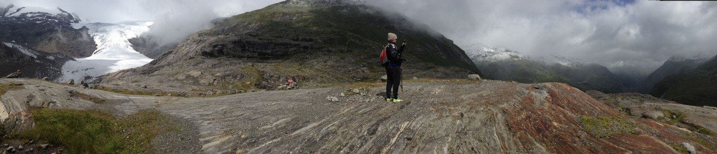
  • Elevated between 1,505 m and 2,805 m, the hike is among the 15 highest elevated hikes in Austria. You're facing an uphill climb of 1485 vertical meters on this hike.
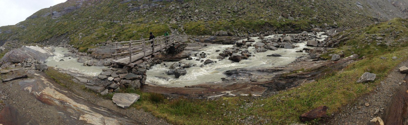
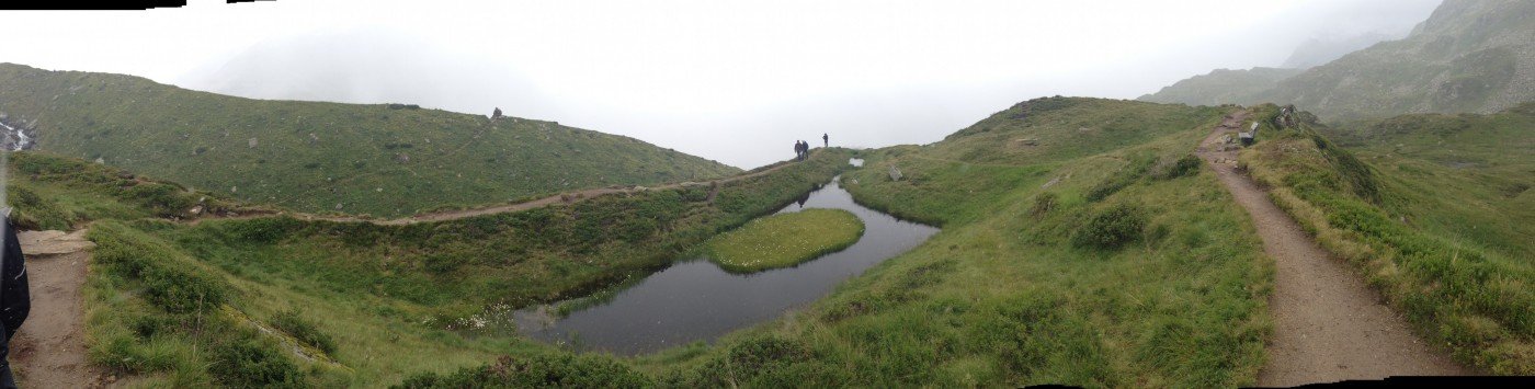
  • You shouldn’t forget to bring your hiking boots. There are some sections on the trail where sturdy footwear is required. There are places to buy beverages and food along the track. However it’s always recommended to bring enough water and food along with you.

Contact

Matreier Tauernhaus
Tauer 22
9971
Matrei
E-Mail
%6d%61%74%72%65%69%65%72%2e%74%61%75%65%72%6e%68%61%75%73%40%67%6d%78%2e%61%74
+43(0)4875 8811
Travel Deals & Tips
Advertisement

Comments

Rate the Hike
No posts available yet:
  • Nobody has posted on the wall of the Hike "Innergschlöss Glacier Trail East Tyrol" yet
  • Be the first to comment!
Login with Google+
  • Share your personal insider tip and create new entries
  • Explore fantastic outdoor destinations when and where you want
  • Find your dream destination or discover the world on the interactive map