


Route description
1st stage:
Start at the car park of cafe Simmereinöd. Now walk onto hiking trail A6 and follow the golden "S" of the hiking trail called Goldsteig. Turn right onto a path towards Kötztinger Hütte. On a rocky path, hike upwards, pass the cave Räuber Heigl Höhle and reach the ridge of Kaiterberg.
2nd stage:
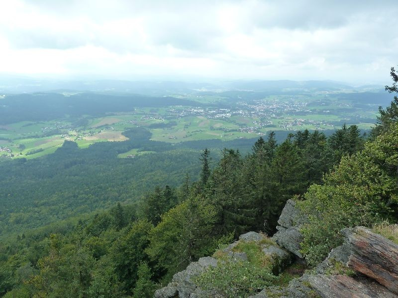
From the ridge it is only about one kilometre until you reach Kötztinger Hütte. Simply turn right and follow the golden "S" marking Goldsteig trail. Right behind Kötztinger Hütte you will see a cliff called Mittagsstein. There you'll have a perfect view accross the valley Zellertal.
3rd stage:
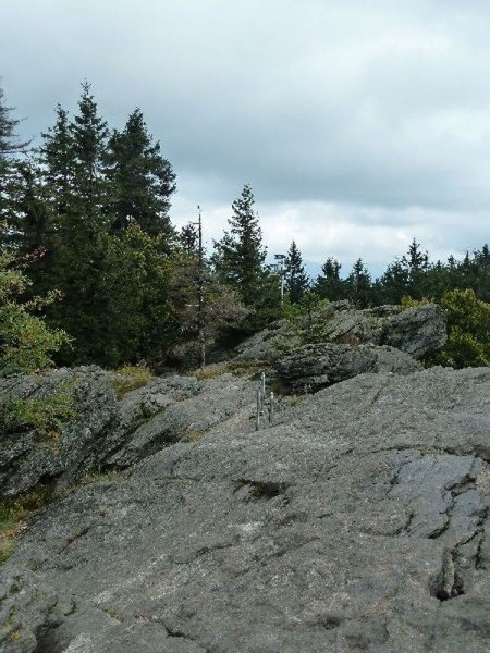
After a short break, take the same way back. Shortly after the ascending trail, follow Goldsteig further through Steinbühler Gesenke. Afterwards, you will reach the impressive Rauchröhren. These are clinging towers of rock, which are very popular with climbers.
4th stage:
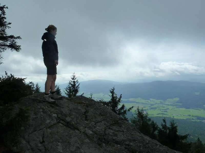
Now hike upwards to Großer Riedelstein and its mountain hut. At the top, you will be rewarded with a grand view across the peaks of Bayerwald. Continue walking to the cable car station of chairlift Eck. Now turn left onto hiking trail A10 and walk alongside the ski slope. After you get onto a forest road, turn right after approximately 100 m into a forest track.
5th stage:
At Eschlsaign, continue on H5 towards Simmereinöd. After a short time on the street, turn left into a forest track. Continuously descending you'll reach a small pond. From there, turn right until you reach a hut after which you keep left and keep descending. Soon you will reach the stream Arracher Bach, which you will follow until you reach the starting point of this hike namely cafe Simmereinöd.
Interesting facts
- You're traveling a distance of 12 km on this moderate trail. Average length of all hikes in Bavaria is 49 km.
- Sturdy hiking boots are recommended on this track. If you get hungry along the way, there are places to rest and get food. Nevertheless it’s recommended to also have enough water and food in your backpack when hiking or biking.
Highlights of the tour
The imposing Rauchröhren are the highlight of the tour. The narrow rock towers are expecially popular with climbers.
Equipment
You will often ascend steeply. You will also have to overcome many roots and rocks on the trail, so hiking boots are mandatory.