Route description
Hydropower from the 1920s
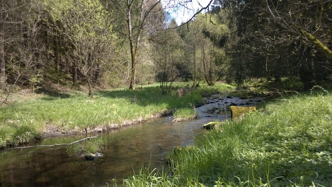
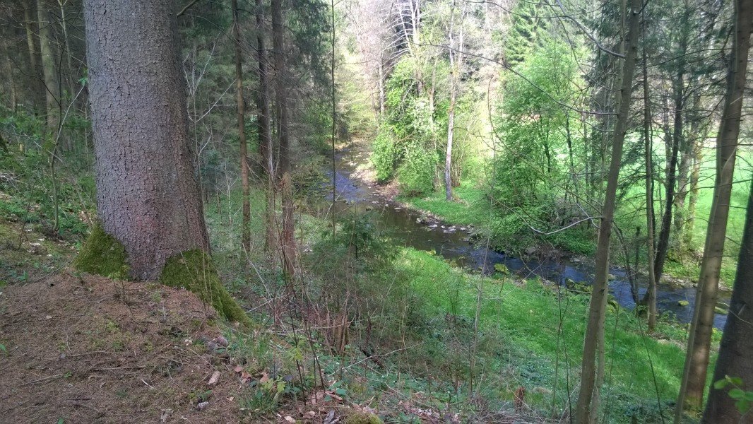
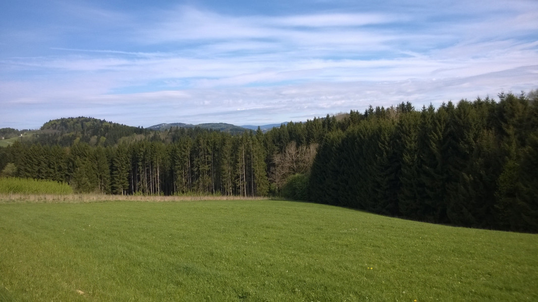
This hike along Osterbach stream between Waldkirchen and Röhrnbach is a hidden gem for holiday-makers in the area looking for an easy hike rather than a challenging mountain tour. Along the wild Osterbach, this trail takes you back to the 1920s, as you learn about how this stream was used in that decade to gain green energy already. The stream splits twice into a man-made channel and the untouched river bed. While the natural river keeps going along the valley, the channels are directed onto Hängen mountain, which makes for an ever-increasing difference in height between channel and Osterbach. Once it is big enough, the water gets back into the river bed through underground pipes, generating energy. Nothing special in theory, but the hydropower plants of Osterbach were built as early as 1920, and are still in operation today. In total, 18 plants generate energy for 1,200 households.
Soft Hike at the Bavarian Forest
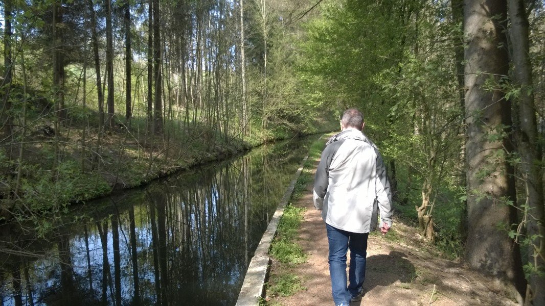
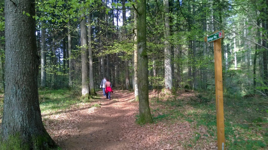
Most hiking trails at the Bavarian Forests lead up the local mountains. This hike between Waldkirchen and Röhrnbach, on the other hand, keeps going quite plainly through Osterbach valley on a relatively short trail. Nevertheless, the nature is just as beautiful as it is on a mountain tour. Just follow the signs for Sicklinger Weg 4 to the channel, and then follow the signs 'Anbindung Röhrnbach'.
Along the Channel over Romantic Clearings
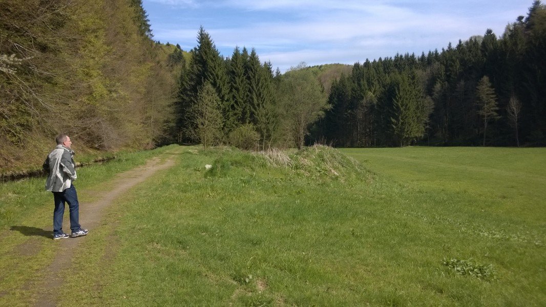
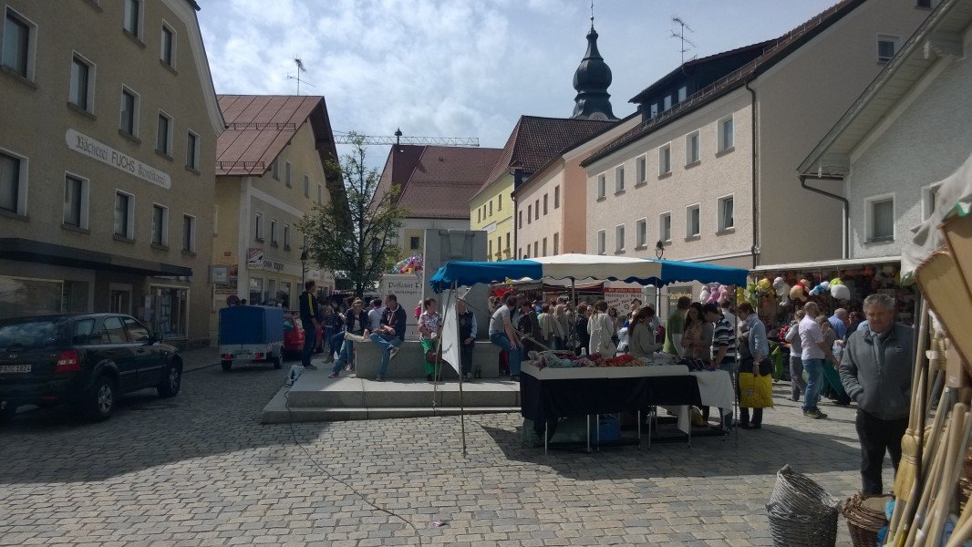
The tour is indeed very diverse. First you walk through spruce woods, downhill from Schiefweg to Osterbach valley. Just after the trail meets the river, the stream is divided into channel and natural river. We follow the channel at first, until we get to the first power plant. The hike then alternates between going along Osterbach and through sunny clearings, until we reach an asphalted street after 2 to 2.5 hours. You can now follow the signs to Röhrnbach. At the market square, grab some refreshments and either get a bus back to Waldkirchen or walk the tour in the opposite direction.
Where to eat
- Pubs and restaurants at the market squares of Waldkirchen and Röhrnbach
- Pub inside the birth house of German poet Emerenz Meier who migrated from the Bavarian Forest to the USA
Interesting facts
- You're traveling a distance of 7 km on this easy trail. The hike is therefore not too long. Average length of all hikes in Bavaria is 49 km.
- Don’t hesitate to take your kids along on this easy hikes. The hike is also perfect if the kid’s wanna bring their dog on the trip. (See all dog friendly hikes in Bavaria.)
- Hiking boots are not required, but the hike might be more enjoyable with sturdy footwear (especially in wet conditions). If you get hungry along the way, there are places to rest and get food. Nevertheless it’s recommended to also have enough water and food in your backpack when hiking or biking.
Highlights of the tour
The two hydropower plants that show how clean power was generated almost 100 years ago.
Variations
You can walk the tour in opposite direction.
Equipment
Sufficient water for a 3 hour hike.
Getting here
By car
Waldkirchen is located at the southern Bavarian Forest, and is accessible from motorway A3. Coming from north, leave the motorway at exit Aicha vorm Wald, and follow the signs to Freyung/Waldkirchen. From the south, exit at Passau Mitte. Follow the signs to Freyung. You can start the hike at Schiefweg (between Waldkirchen and Freyung), or at the centre of Waldkirchen. Alternatively, you can start in Röhrnbach.
By Ilztalbahn
A special way of getting here is on the Ilztalbahn train from Passau, which goes along the river Ilz.