in the Bohemian Forest: Position on map")

Route description

Find rest and relaxation in 4 days on 78 kilometers. Time enough to leave everyday life behind and draw new strength. Time enough to enjoy beautiful places and mystical power spots.
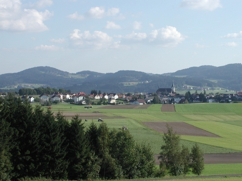
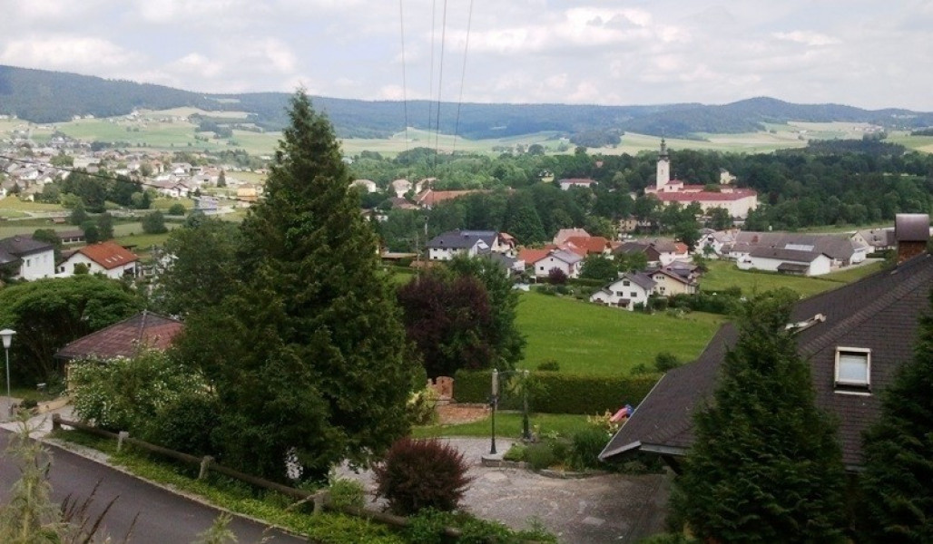
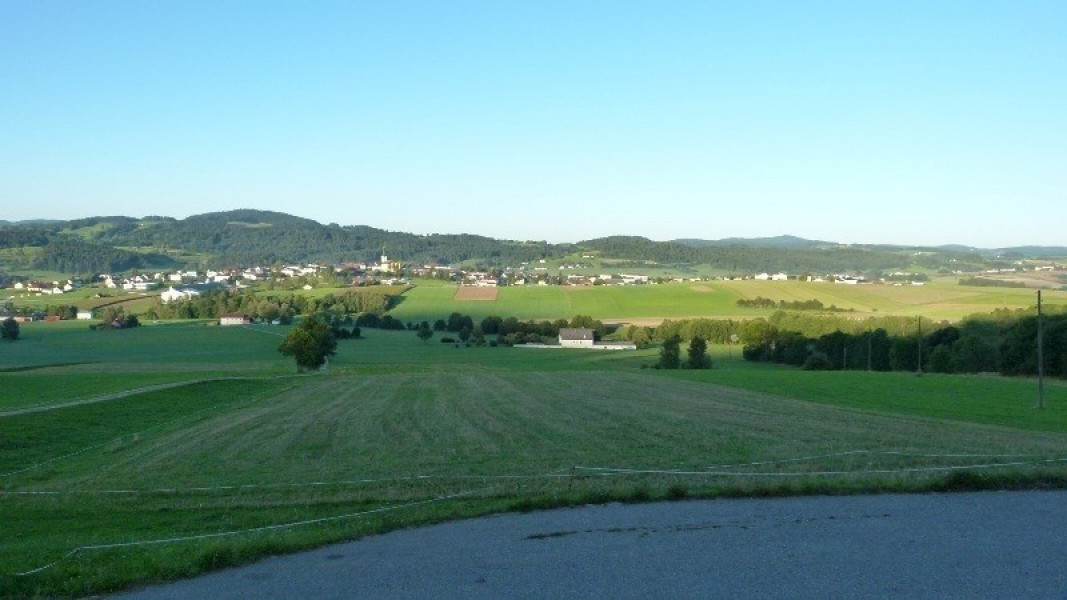
In these four days you will hike through the southeastern part of the Bohemian Forest and enjoy the hilly landscape of the Mühlviertel from its most beautiful side. Experience the different river valleys from the Große Mühl to the Steinerne and the Kleine Mühl.
- Section 1: Aigen-Schlägl - Haslach, 18 km
- Section 2: Haslach - Helfenberg, 20 km
- Section 3: Helfenberg - Rohrbach-Berg, 20 km
- Section 4: Rohrbach-Berg - Aigen-Schlägl, 20 km
Sturdy shoes necessary
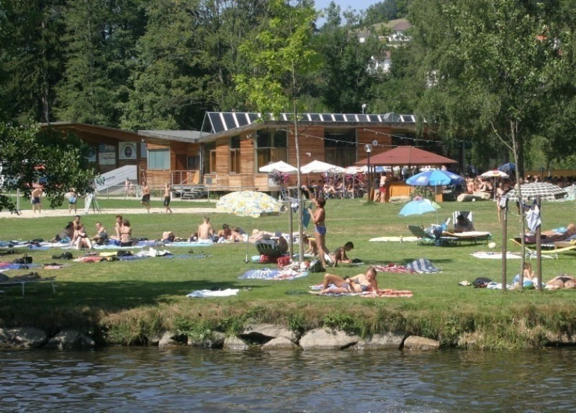
Overnight stay available
Eating options available
Interesting facts
- With an overall length of 78 km the hike is among the 10 longest hikes in Austria available on TouriSpo.
- Path of Deceleration - Bohemian Forest (4 days, 78 km) is among the 3 best rated Hikes in Upper Austria.
- You're facing an uphill climb of 1902 vertical meters on this hike. This is quite much. You should be fit to do this track. The high point of the hike is located at an elevation of 880 m.
- Sturdy hiking boots are recommended on this track. If you get hungry along the way, there are places to rest and get food. Nevertheless it’s recommended to also have enough water and food in your backpack when hiking or biking.
Getting here
The start and finish of the hike is Schlägl in Upper Austria. It is about 50 kilometers from Linz. You simply take the B127 and drive via Ottensheim, Altenfelden and Rohrbach to Schlägl.