in the Bohemian Forest: Position on map")

Route description
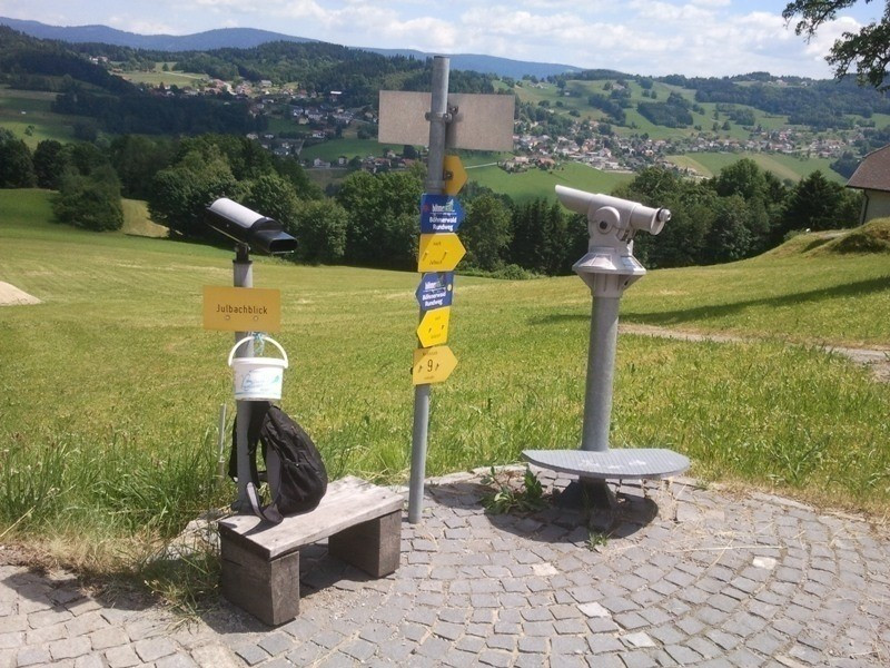
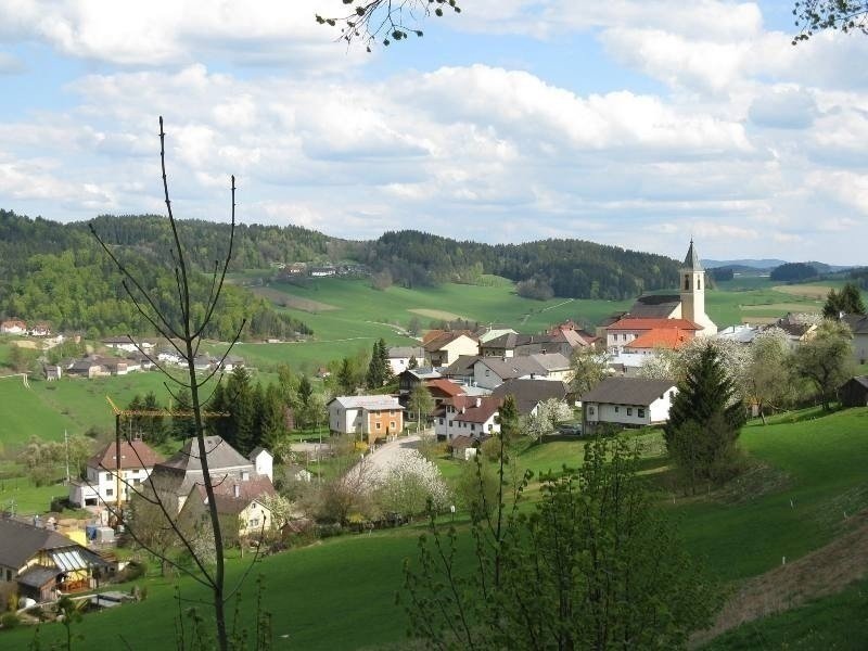
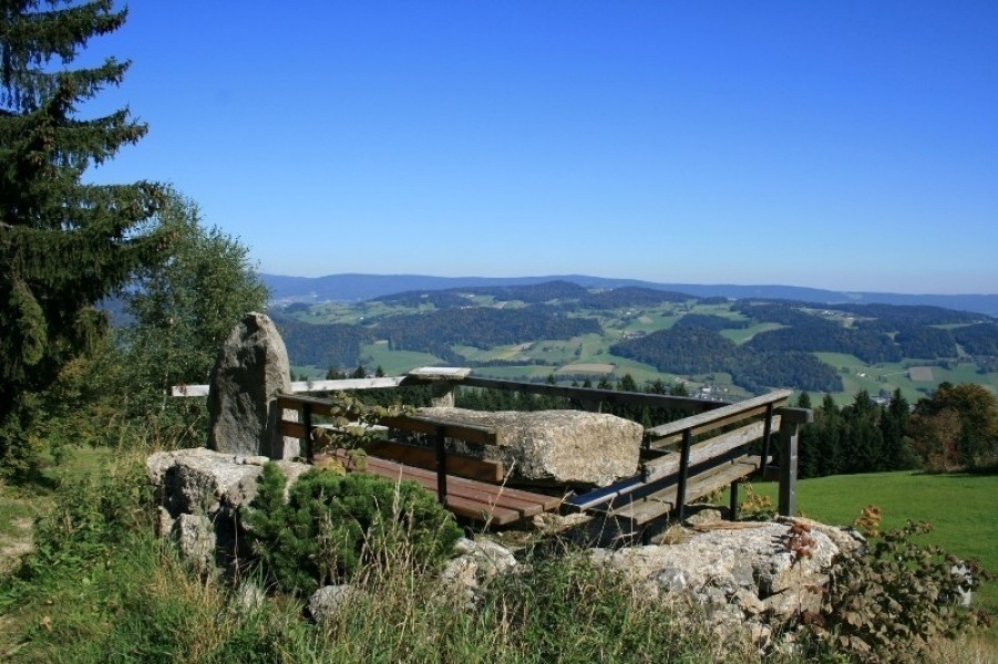
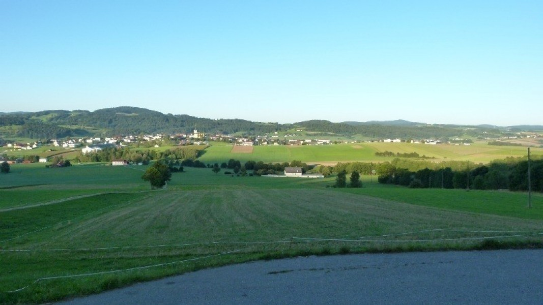
The path of deceleration leads you along the Große Mühl over the peaks on the Böhmerwald ridge. The start and finish of the tour, which is just under 71 kilometers long, is Stift Schlägl in Aigen-Schlägl. The first day serves as a relaxed introduction to the summit adventure. On the following three days, you will hike to a new peak every day: the Plöckenstein, the Stinglfelsen and the Bärenstein.
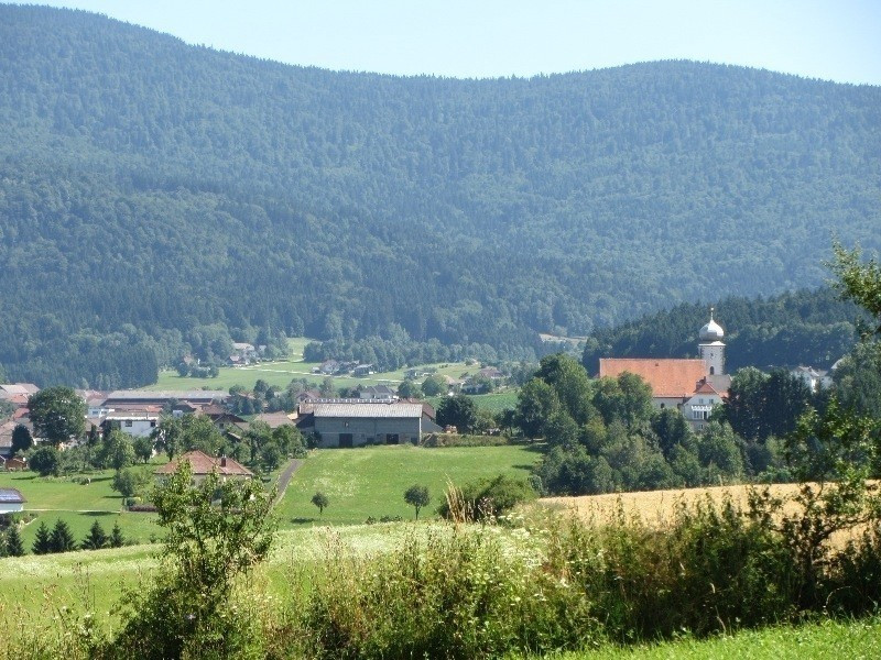
The length of the daily stages gives you enough time and leisure to enjoy the numerous rest stops along the way. The herb community of Klaffer am Hochficht with its medicinal herb garden offers a rewarding daily destination.
- Section 1: Aigen-Schlägl - Schwarzenberg, 19 km
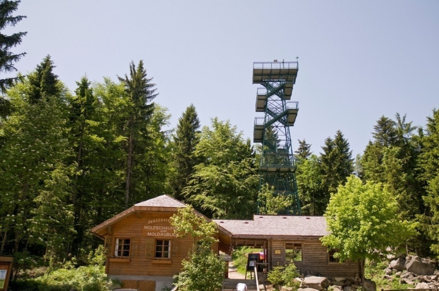
- Section 2: Schwarzenberg - Holzschlag, 22 km
- Section 3: Holzschlag - Hintenberg, 15 km
- Section 4: Hintenberg - Aigen-Schlägl, 14 km
Interesting facts
- With an overall length of 71 km the hike is among the 10 longest hikes in Austria available on TouriSpo.
- Elevated between 550 m and 1,376 m, the hike is among the 3 highest elevated hikes in Upper Austria. You're facing an uphill climb of 2187 vertical meters on this hike. This is quite much. You should be fit to do this track.
- You shouldn’t forget to bring your hiking boots. There are some sections on the trail where sturdy footwear is required. There are places to buy beverages and food along the track. However it’s always recommended to bring enough water and food along with you.
Getting here
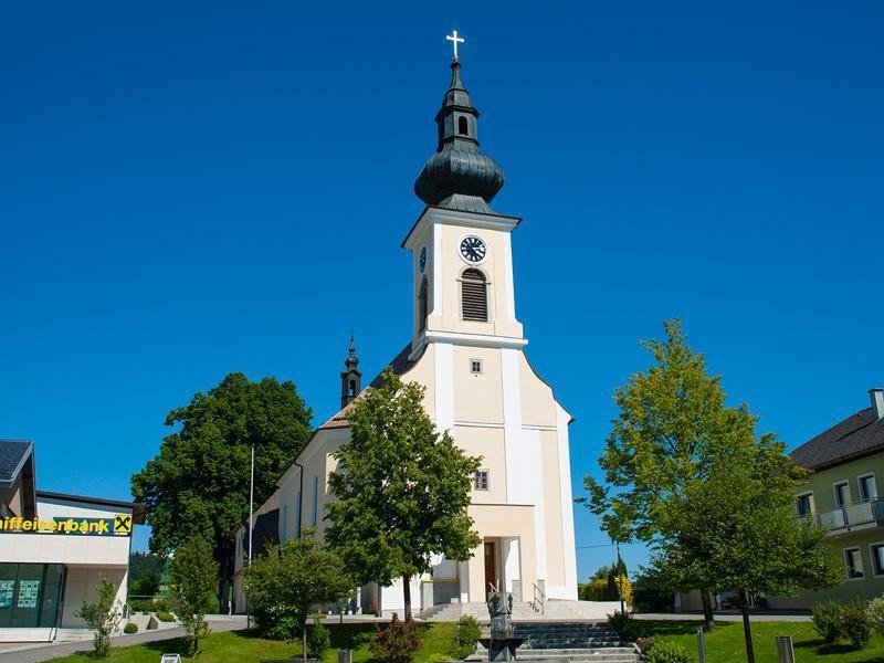
The start and finish of the hike is Schlägl in Upper Austria. It is about 50 kilometers from Linz. You simply take the B127 and drive via Ottensheim, Altenfelden and Rohrbach to Schlägl.