
Route description

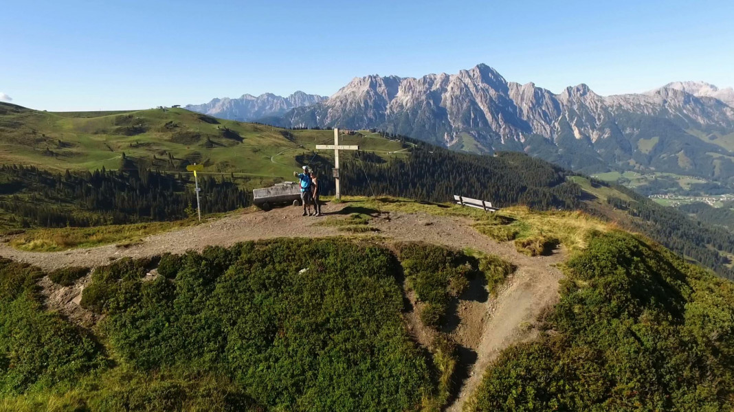
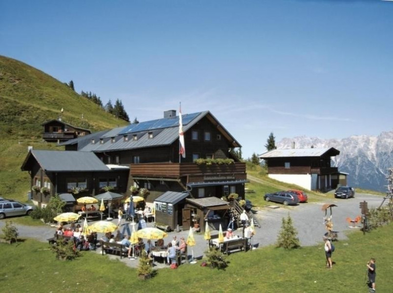
The tour starts at Kohlmais moutain station and leads over Wildenkarkogel and Schönleiten to Geierkogel hut, which presents an idyllic view on a stunning mountain panorama. Further you go over Lochalmköpfel to Sausteige.
From Sausteige you start descending. Either to Viehhofen or alternatively over Lochalmköpfel and Durchenkopf to Saalfelden/Biberg. Choosing the second alternative you have the option from Biberg to take the summer toboggan downwards to Saalfelden/Kehlbach.
From Saalfelden and Viehhofen there a daily busses betweem 7am and 7pm back to Saalbach, the starting point of the tour.
Interesting facts
- With an overall length of 16 km the hike is among the 10 longest hikes in Salzburg available on TouriSpo.
- You're facing an uphill climb of 656 vertical meters on this hike. The highest point of the track is 1,893 m above sea level.
- Make sure to bring sturdy footwear on this track. Hiking boots are highly recommended. If you get hungry along the way, there are places to rest and get food. Nevertheless it’s recommended to also have enough water and food in your backpack when hiking or biking.
Highlights of the tour
The amazing view, the natural peat bog and of course the option to take the summer toboggan down to Saalfelden/Kehlbach are the highlights of this tour.
Equipment
Hike with appropriate footwear. This unique panorama path is challenging.
Getting here
By car
Coming from Maishofen you drive about 14 km ( 8 miles ) alongside L 111 to Saalbach. Directly at Aral gas station in Saalbach you turn right into the tunnel or rather the parking garage.
Starting point is Kohlmaisbahn mountain station in Saalbach.