

Route description
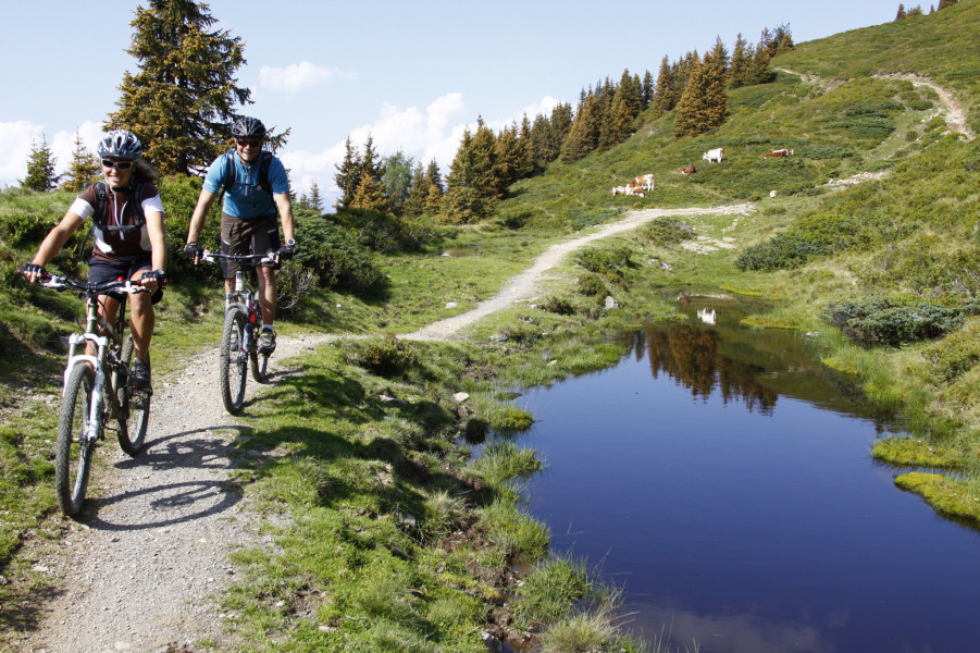
The biking tour starts at Schattberg X-press in Saalbach. Starting there you follow the cycle track out of the valley till Jausen. Afterwards you cycle on the winding and steeply rising forest street towards Schattberg east and Schattberg west, which leads over Rammernalm and Limbergalm.
An alternative for the Schattberger Ostgipfel (east peak)
At road junction (at the level crossing) keep right towards Ostgipfel (east peak) and cycle up the steep ramp till you arrive the Schattberg X-press' mountain station. Afterwards you bike back 400 m (437yd) of the same route and keep straight on the track till Schattberger Westgipfel (west peak).
Alternative without Schattberger Ostgipfel:
Keep left at road junction with level crossing and follow the winding road directly up to Schattberg Westgipfel. Just behind the Westgipfel mountain station starts the legendary „Hacklberg Trail“, a very beautiful single trail which leads downhill a long grassy ridge towards Hacklberger Alm (alp). Afterwards you bike partly on a forest road and partly on constructed single trails to Westgipfel middle station Bergstadl. Experienced cyclists can take the Buchegg trail form there. An easier alternative is the forst trail, which leads past an alpine hut and downwards into the valley to Hinterglemm.
Then you follow the cycle track again back to Saalbach.
Interesting facts
- You're traveling a distance of 28 km on this strenuous trail. The average length of all bike Trails in Salzburg is 35 km.
- Elevated between 927 m and 2,089 m, the bike trail is among the 5 highest elevated bike Trails in Austria. You're facing an uphill climb of 1171 vertical meters on this bike trail. This makes the bike trail one of the 10 bike Trails with the most ascent in Austria.
- There are places to buy beverages and food along the track. However it’s always recommended to bring enough water and food along with you.
Highlights of the tour
Highlight of this tour is the legendary „Hacklberg Trail“ which leads continuously downwards a grassy ridge to Hacklbergalm.
Getting here
By car:
Coming from Maishofen you drive 14 km (8mi) into the valley alongside L 111 till you arrive the parking lot of Schattberg X-press in Saalbach. Parking spaces and parking garages will be available for free.
Starting point of the tour is the Schattberg X-press in Saalbach.