Route description
The first part of the tour leads to the Geierkogel (hiking path no. G or 308). When you cross the Forstalpe, you'll get to the Eisernes Kreuz and the Gertrusk on the Ladinger Spitz at the height of 2,079 m (2274 yards) (keep following the hiking path no. 308). Hiking further on you'll get to the Wolfsberger Hütte (mountain protection hut serving meals and beverages) and carry on until you reach the final destination of the tour, the Offnerhütte (mountain hut) at an altitude of 1,668 m (1824 yards) (hiking path no. 334).
Interesting facts
- You're traveling a distance of 15 km on this moderate trail. Average length of all hikes in Carinthia is 15 km.
- Elevated between 1,643 m and 2,074 m, the hike is among the 3 highest elevated hikes in Carinthia. You're facing an uphill climb of 701 vertical meters on this hike.
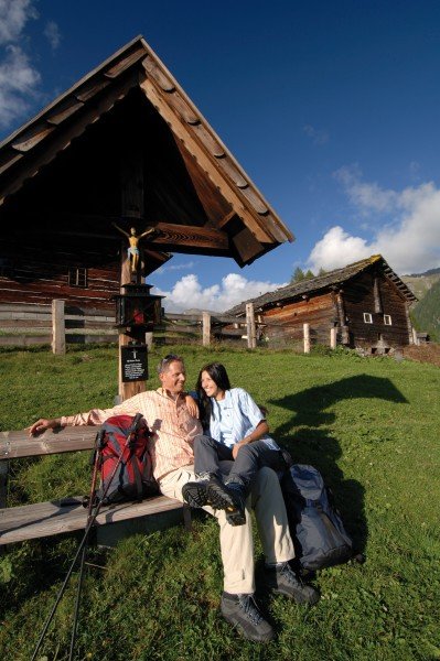
- This moderate hike is perfect for the whole family. The hike is also perfect if the kid’s wanna bring their dog on the trip. (See all dog friendly hikes in Carinthia.)
- Sturdy hiking boots are recommended on this track. If you get hungry along the way, there are places to rest and get food. Nevertheless it’s recommended to also have enough water and food in your backpack when hiking or biking.
Highlights of the tour
Provided the weather is nice, you'll be able to enjoy a panorama view towards all directions.
Equipment
Weather-proof clothing and hiking footwear are recommendable. Make sure you have enough water with you. There's no hut or any other mountain station between the starting point and the Wolfsberger Hütte to supply you with water.
Please note that dogs are only allowed on the leash.
Getting here
By car:
Graz/ Klagenfurt A2 Süd – take the exit at Bad St. Leonhard, then turn right and continue on the B70 in the direction of Bad St. Leonhard. Follow the road for about 2 km (1.2 miles) and then turn left onto the Klippitztörl Landesstraße. After 12 km (7.5 miles) you'll reach the Passhöhe am Klippitztörl. Then you'll arrive at the public car park just above the Naturfreundehaus Klippitztörl.
Alternatively: During the summer break (July/ August) there's a hiking bus (Wanderbus) operating from the train station Wolfsberg.
The hiking tour directly starts at the car park just above the Naturfreundehaus Klippitztörl.