
Route description
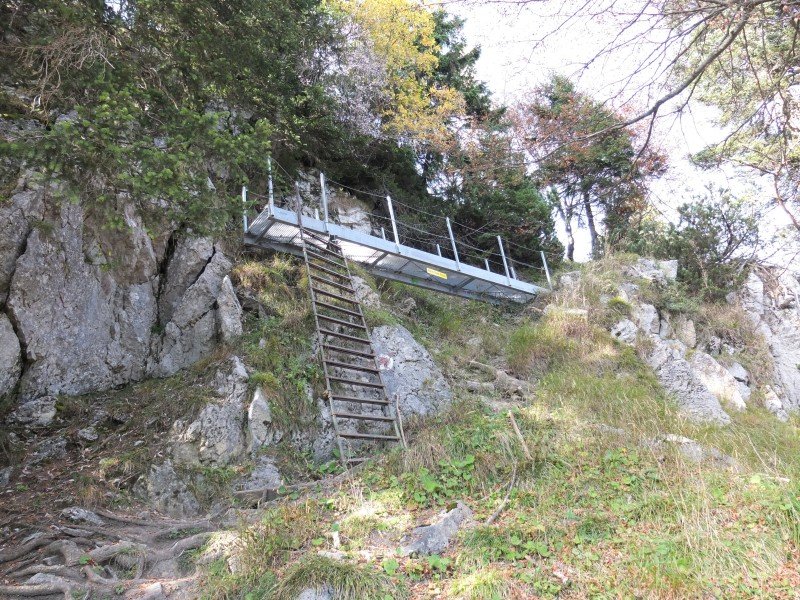
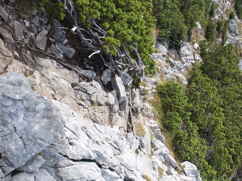
A safe step as well as a head for heights are absolutely necessary for this tour. If you like a bit of a climb, this is the trail for you.
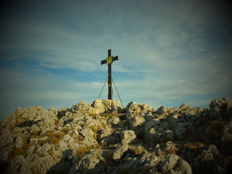
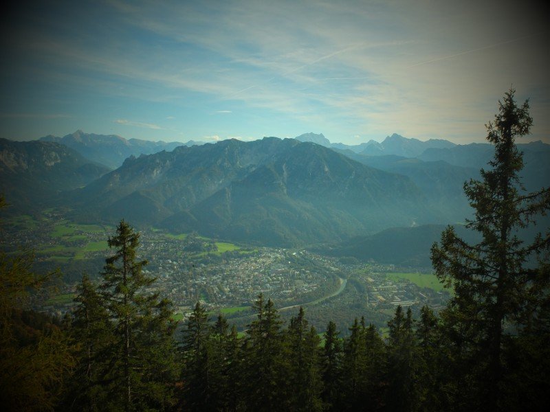
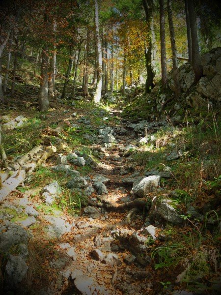
Start at Padinger Alm and follow the way until you get above treeline. Leave the forest, enjoy the view and ascend the ladder you find there. This is where the climbing starts. After around three hours, you get to Bad Reichenhaller Haus. From there, you are only a few metres away from the summit. To descend, follow the easier Normalweg trail.
Where to eat
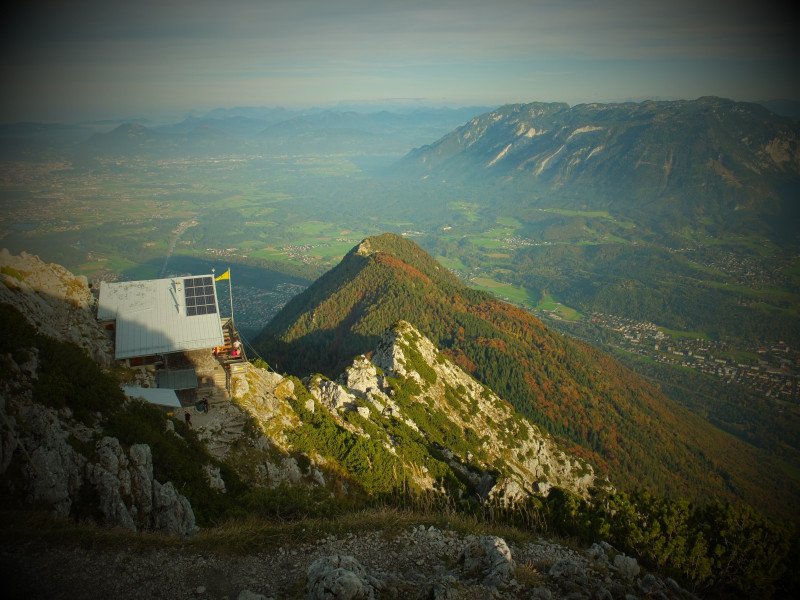
You can eat and/or spend the night at Bad Reichenhaller Haus.
Interesting facts
- You're traveling a distance of 10 km on this strenuous trail. Average length of all hikes in Bavaria is 49 km.
- Elevated between 669 m and 1,748 m, the hike is among the 5 highest elevated hikes in Germany. You're facing an uphill climb of 1204 vertical meters on this hike. This makes the hike one of the 10 hikes with the most ascent in Bavaria.
- Make sure to bring sturdy footwear on this track. Hiking boots are highly recommended. If you get hungry along the way, there are places to rest and get food. Nevertheless it’s recommended to also have enough water and food in your backpack when hiking or biking.
Equipment
Sturdy shoes, hiking sticks
Getting here
Follow motorway A8 to exit Bad Reichenhall. Turn right towards Kaserne, then cross the bridge. Turn right and follow the road until you can turn right to Padinger Alm. Follow the road until you get there. Parking is available at the alp.