Hike Via ferrata

Hike Via ferrata "Jaegihorn"

Via ferrata "Jaegihorn"

Elevation

Min: 2,399 m
Max: 3,206 m
Uphill: 839 m
Downhill: 839 m
  • Upload GPS data
Rate the Hike
0
(0)
Travel Deals & Tips
Advertisement
Advertisement
Advertisement
Facts
Difficulty
Advanced
Distance: km
Duration:7 h
Loop trail
Min: 2,399 m
Max: 3,206 m
Uphill: 839 m
Downhill: 839 m

Trail characteristics

Hiking trail
Experts only

Interesting facts

Read more
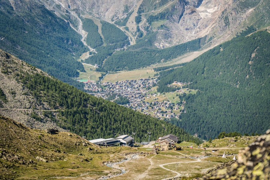
  • You're traveling a distance of 6 km on this strenuous trail. The hike is therefore not too long. Average length of all hikes in the Valais is 12 km.
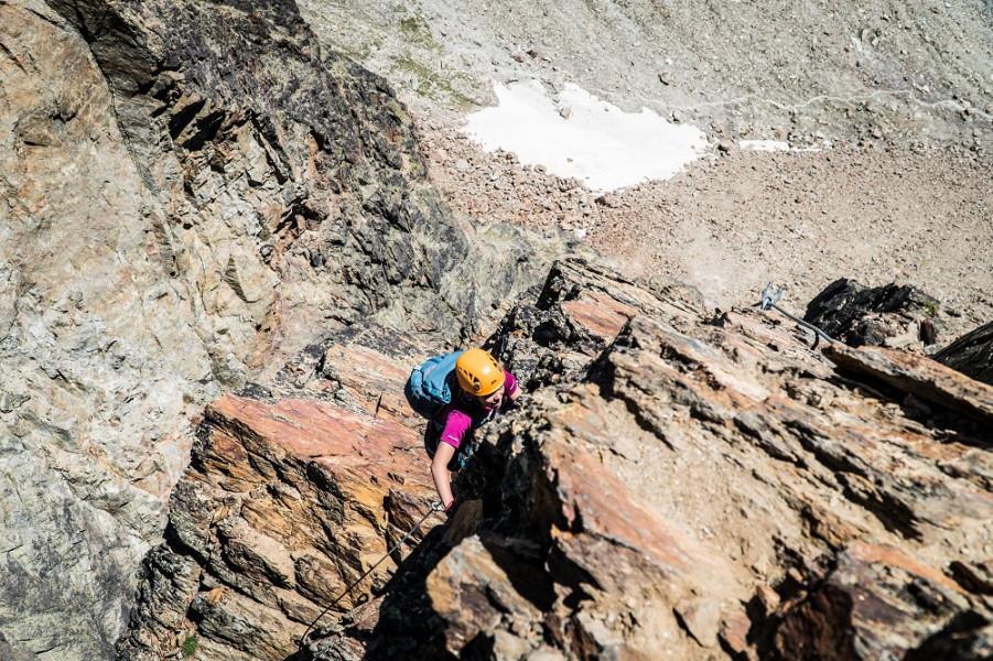
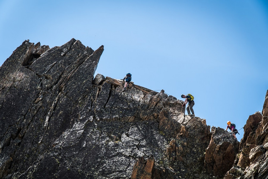
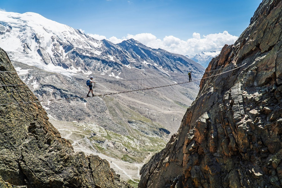
  • Elevated between 2,399 m and 3,206 m, the hike is among the 3 highest elevated hikes in Switzerland. You're facing an uphill climb of 839 vertical meters on this hike. This makes the hike one of the 10 hikes with the most ascent in the Valais.
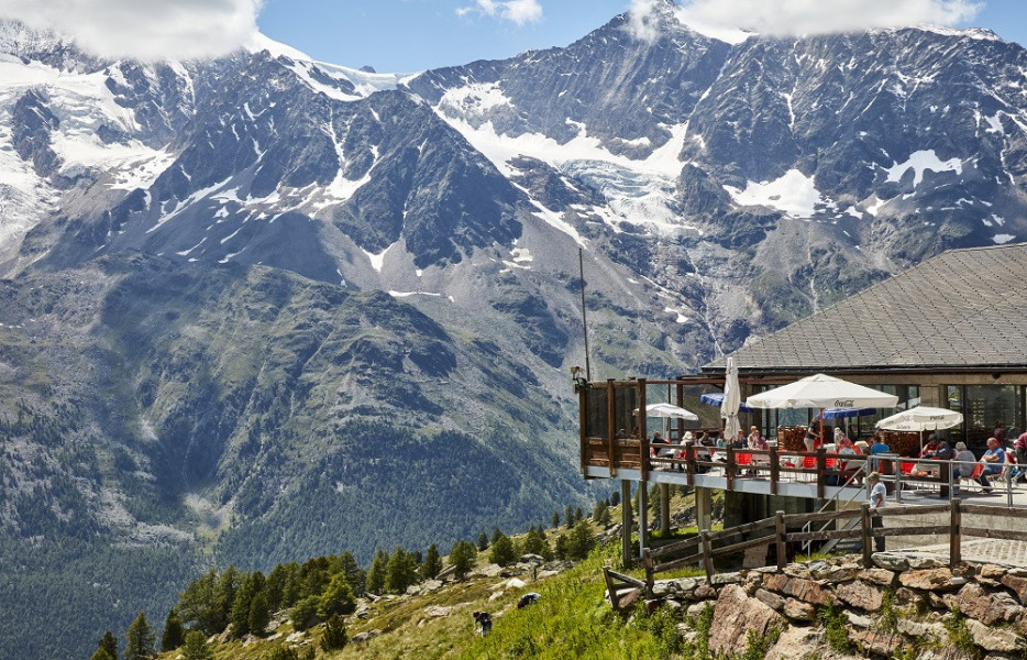
  • Sturdy hiking boots are recommended on this track. If you get hungry along the way, there are places to rest and get food. Nevertheless it’s recommended to also have enough water and food in your backpack when hiking or biking.

Contact

Saastal Tourismus AG
Obere Dorfstrasse 2
3906
Saas-Fee
E-Mail
%69%6e%66%6f%40%73%61%61%73%2d%66%65%65%2e%63%68
+41 (0)27 958 18 58
Travel Deals & Tips
Advertisement

Comments

Rate the Hike
No posts available yet:
  • Nobody has posted on the wall of the Hike "Via ferrata "Jaegihorn"" yet
  • Be the first to comment!
Login with Google+
  • Share your personal insider tip and create new entries
  • Explore fantastic outdoor destinations when and where you want
  • Find your dream destination or discover the world on the interactive map