in the Saastal: Position on map")
Interesting facts
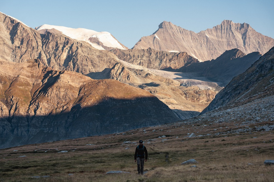
- With an overall length of 16 km the hike is among the 15 longest hikes in Switzerland available on TouriSpo.
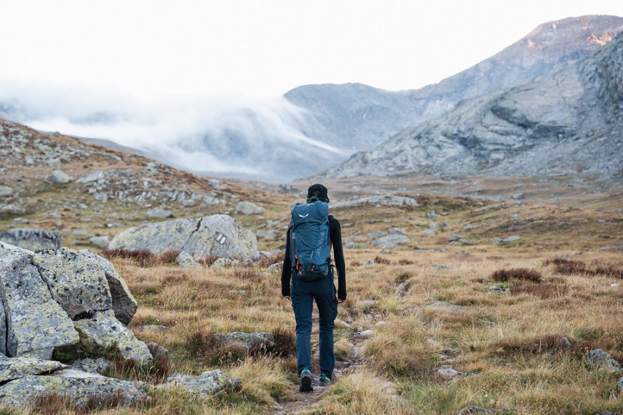
- Taking your dog on this trail shouldn’t be a problem.
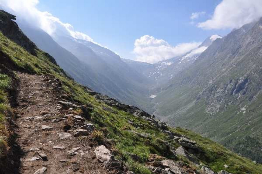
- Sturdy hiking boots are recommended on this track. There are places to buy beverages and food along the track. However it’s always recommended to bring enough water and food along with you.