
Route description
Start the tour at the junction Grafenaustraße/Kurfürstenstraße. Now take the street Klosterstraße and stay on it until you reach a path marked by a sign saying "Vulkaneifel-Pfad: VulkaMaar-Pfad". You will follow this sign throughout the tour.
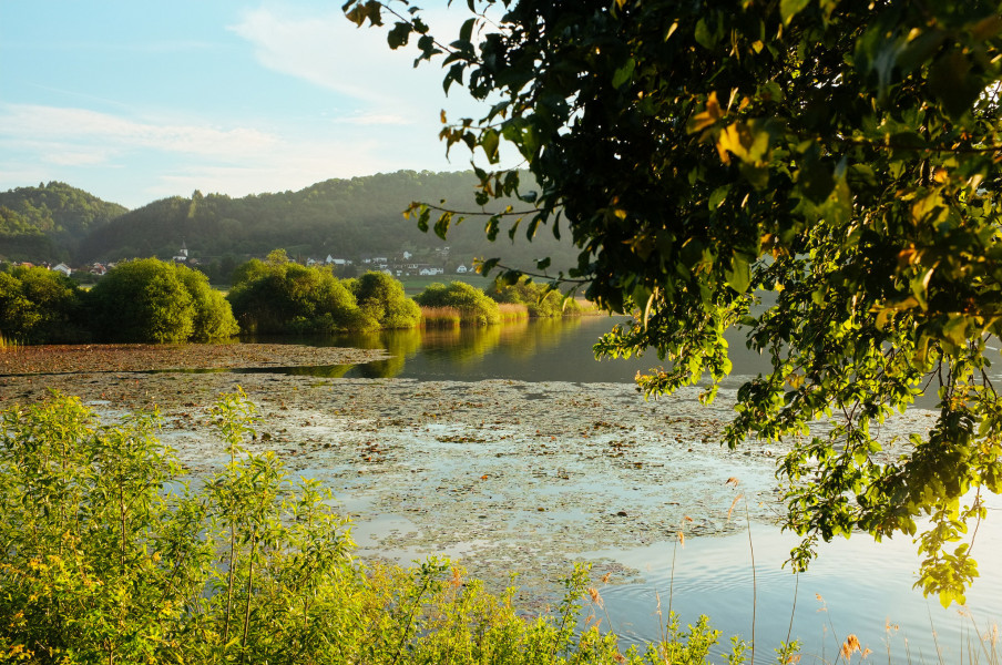
Continue along river Lieser and eventually reach the hut Rulandhütte. From there, keep ascending until you get to road 46, cross it and continue following the path on the other side slighty downhill. After some time, you will reach a mill called Bleckhausenermühle.
The path further leads through woods and meadows towards the nature reserve Meerfelder Maar, where you can rest and enjoy the view across the maar. Afterwards you will pass Meerfeld and then Bettenfeld.
Now walk up to Mosenberg and after a short break at the peak continue descending via meadows until you reach road 46 again. Cross the road and walk back to Manderscheid, cross the park and you'll be back where you started.
Where to eat
You can get food in Manderscheid or at the mill Bleckhausenermühle.
Interesting facts
- With an overall length of 27 km the hike is currently the longest hike in the Rhineland-Palatinate available on TouriSpo.
- Make sure to bring sturdy footwear on this track. Hiking boots are highly recommended. There are places to buy beverages and food along the track. However it’s always recommended to bring enough water and food along with you.
Highlights of the tour
The calmness and the almost unspoiled countryside are to mention in particular. Furthermoer, there are many sights along the road like the castles Oberburg and Niederburg, the Meefelder Maar and the valley Kleiner Kyll.
Equipment
We recommend sturdy shoes and weather appropriate clothing. You should also take some food and enough water with you.
For some parts, hiking poles could be helpful.
Getting here
By car:
Take L16, L46 or L64 to Manderscheid. Simply follow one of these roads (depending on where you come from) and exit in Manderscheid. Parking is available in Manderscheid. Either at the parking lot Kurhaus within the street Grafenstraße 23 or the parking lot Burgenblick. Now you just have to walk down to the junction Grafenstraße/Kurfürstenstraße and you reached the starting point of the tour.
By public transportation:
First take the train to Gerolstein. From there, take the bus 500 to Daun and from there the bus 300 to Manderscheid.