

Route description
The “Queen” of the Ötztal Alps
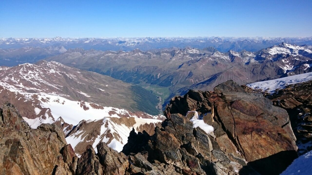
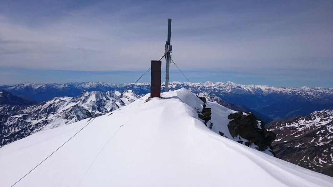
The starting point of this glacier tour is the Weißkugelhütte mountain hut, which can be reached in approx. 2 hours from the car park Melago/Melag-Vallelunga/Langtaufers via trail no. 2. From the Weißkugelhütte, continue eastward across the moraine slope, slightly descending to the Langtauferer Ferner mountain. With appropriate glacier equipment, follow the Ferner into the direction of the Langtauferer Joch ridge and, veering to the right at the foot of the Langtauferer Spitze peak, ascend further to the Weißkugel Joch (3,368 m). Special care must be taken with the steep ascent that now follows via the eastern flank as, depending on snow conditions, there may be bare ice. Below the summit, you reach the northern ridge with a wonderful view to Vallelunga. From there, it is only a few metres to the beautiful summit cross of the Weißkugel.
Where to eat

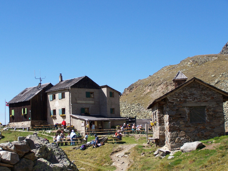
Weißkugelhütte mountain hut
The hut is located at the end of the Vallelunga valley high above the Langtauferer Ferner on a hill with an overwhelming view of the surrounding mountain and glacier world. Next to the hut is a small chapel. A cozy cottage, in a perfect location with old charm and good food.
Interesting facts
- You're traveling a distance of 6 km on this strenuous trail. The hike is therefore not too long. The average length of all hikes in South Tyrol is 12 km.
- Elevated between 2,496 m and 3,672 m, the hike is the highest elevated hikes in Italy. You're facing an uphill climb of 1186 vertical meters on this hike. This makes the hike one of the 15 hikes with the most ascent in Italy.
- Sturdy hiking boots are recommended on this track. There are places to buy beverages and food along the track. However it’s always recommended to bring enough water and food along with you.