Route description
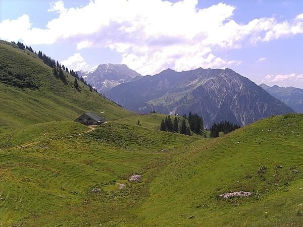
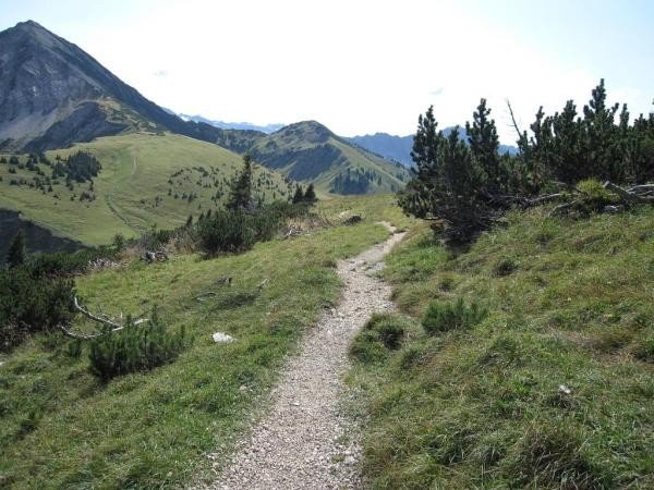
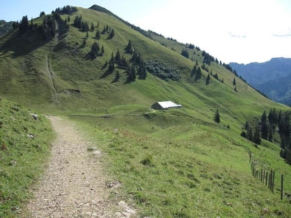
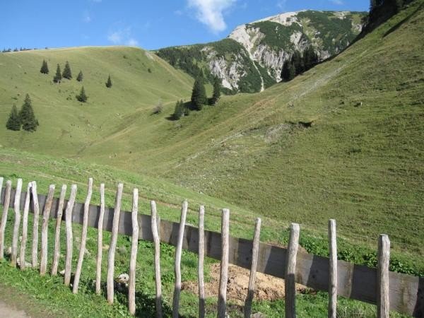
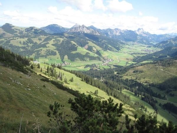
Starting at the chairlift keep east passed the Kneipp water-treading basin and walk across a little bridge. Now turn right and follow the slighty ascending path, which leads through Stuibental. At Untere Stuiben Alpe turn right and continue walking into the kettle. Afterwards start ascending to the saddle.
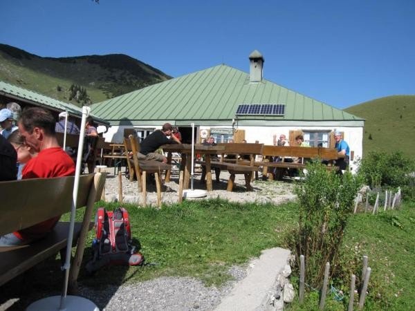
Then walk downhill to Zipfelsalpe. There you start walking back passed the east slope of Wannenjoch. After another short ascend hike downhill towards the mountain station of Wannenjochbach. For a meal and some rest stop at Jochstadel. Now continue on the ski slope and further on a forest road towards Stuibental. Keep left and walk back to the starting point in Schattwald.
Interesting facts
- You're traveling a distance of 10 km on this easy trail. The average length of all hikes in Tyrol is 15 km.
- You're facing an uphill climb of 760 vertical meters on this hike. The hike takes you to an elevation of 1,722 m.
- The hike is one of the family friendly trails in the region. What’s even better: You can also bring the family’s best friend on this dog friendly hike. (See all dog friendly hikes in Tyrol.)
- You shouldn’t forget to bring your hiking boots. There are some sections on the trail where sturdy footwear is required. There are places to buy beverages and food along the track. However it’s always recommended to bring enough water and food along with you.
Equipment
At every tourist info point you can get a free map of Tannheimer Tal (Alpenwelt-Karte „Tannheimer Tal“).
For the long ascent or descent you can use the chairlift and start hiking there.
Getting here
By car
Coming from Reutte drive to Weißenbach am Lech and continue onto B199 till Schattberg. Parking available.
Coming from Sonthofen pass Bad Hindelang on B308 and take B199 to Schattberg.
Parking at the chairlift in Schattwald is subject to charges.