Hike From Tannheim to Einstein summit in the Tannheimer Tal: Position on map

Hike From Tannheim to Einstein summit

From Tannheim to Einstein summit

Elevation

Min: 1,019 m
Max: 1,844 m
Uphill: 758 m
Downhill: 832 m
  • Upload GPS data
About the author
last update on 23 May 2019
Rate the Hike
1
(0)
Travel Deals & Tips
Advertisement
Advertisement
Advertisement
Facts
Difficulty
Moderate
Distance: 6.44 km
Duration:5 h 30 min
Min: 1,019 m
Max: 1,844 m
Uphill: 758 m
Downhill: 832 m

Best Season

Trail characteristics

Dirt road
Forest track
Hiking trail

Interesting facts

Read more
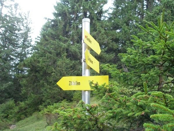
  • You're traveling a distance of 6 km on this moderate trail. The hike is therefore not too long. Average length of all hikes in Tyrol is 15 km.
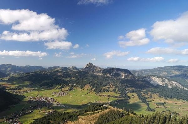
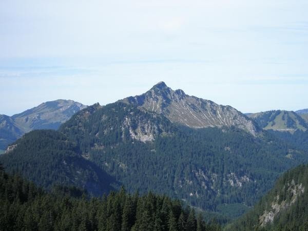
  • You're facing an uphill climb of 758 vertical meters on this hike. The highest point of the track is 1,844 m above sea level.
  • Make sure to bring sturdy footwear on this track. Hiking boots are highly recommended.

Contact

Tourismusverband Tannheimer Tal
Vilsalpseestraße 1
6675
Tannheim
E-Mail
%69%6e%66%6f%40%74%61%6e%6e%68%65%69%6d%65%72%74%61%6c%2e%63%6f%6d
Phone+43 (5675) 6220-0
Fax+43 (5675) 6220-60
Travel Deals & Tips
Advertisement

Comments

Rate the Hike
No posts available yet:
  • Nobody has posted on the wall of the Hike "From Tannheim to Einstein summit" yet
  • Be the first to comment!
Login with Google+
  • Share your personal insider tip and create new entries
  • Explore fantastic outdoor destinations when and where you want
  • Find your dream destination or discover the world on the interactive map