Located near Lisbon in Portugal the webcam is looking south-west towards the atlantic ocean.
20 °C
temporarily unavailable
Located at the top station of the cable car Meran 2000 the webcam is looking south-west towards Meran.
14 °C
33 minutes ago
Webcam located at Lake Trübsee in the mountains of Engelberg.
18 °C
36 minutes ago
The webcam is located in Schofheim near Gersbach in the Black Forest. It offers a great view to Gersbach and the Swiss Alps in the background.
12 °C
40 minutes ago
Webcam located at west tower of Aachen Cathedral.
12 °C
temporarily unavailable
Your view from the "Rotes Rathaus" located in the Mitte district on Rathausstraße near Alexanderplatz.
19 °C
37 minutes ago
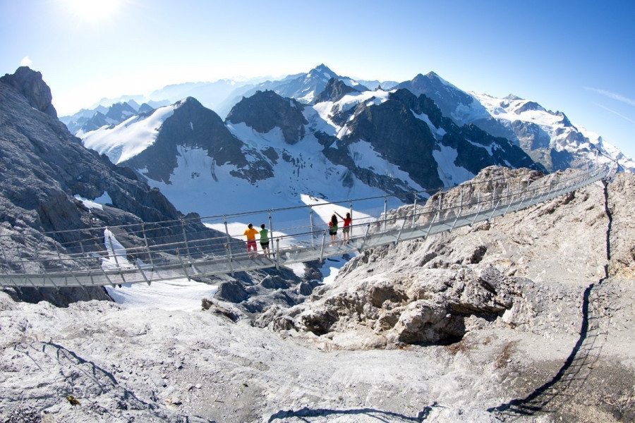
Have a look at Galtür, a Tyrolean village with 800 inhabitants well known as a tourist destination.
16 °C
33 minutes ago
Nice view from the major hall of Bayreuth.
9 °C
38 minutes ago
Courtesy of Foto-Webcam.eu
13 °C
33 minutes ago
Enjoy the view from top of the Radisson Blu Hotel in Lyon.
13 °C
temporarily unavailable
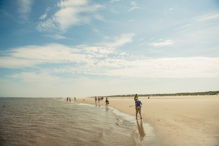
This webcam is located at the beach promenade of the Baltic Sea in Heringsdorf, a small city at the Island of Usedom.
14 °C
temporarily unavailable
Your view from the "Rotes Rathaus" located in the Mitte district on Rathausstraße near Alexanderplatz.
19 °C
37 minutes ago
This webcam allows you to get an overview of the traffic situation of the B10 near Ulm.
19 °C
39 minutes ago
This webcam allows you to get an overview of the traffic situation of the B10 near Ulm.
9 °C
39 minutes ago
View from the roof top of the OTH Regensburg.
13 °C
33 minutes ago
This High Definition webcam shows the Skyline of the German Manhattan, Frankfurt am Main. You may see the Europa Tower during good weather...
16 °C
33 minutes ago
The webcam shows the dam Förmitztal in the south of German city Hof in Bavaria. It is located at the station of the Bavarian Red Cross and...
12 °C
1 week ago
Your view from the "Rotes Rathaus" located in the Mitte district on Rathausstraße near Alexanderplatz.
19 °C
37 minutes ago
Your view from the "Rotes Rathaus" located in the Mitte district on Rathausstraße near Alexanderplatz.
19 °C
37 minutes ago
Here you can view Hasenhorn mountain (1155 meters) near Todtnau in the southern Black Forest.
11 °C
35 minutes ago
This webcam is located in Fürstenhausen in the Saarland and shows the weather conditions in this region.
13 °C
38 minutes ago
Located at the mountain station at Ahorn mountain you can see the surrounding landscape.
10 °C
33 minutes ago
This webcam is located at church Markuskirche in Carinthian town Wolfsberg. It offers the view towards the village and the castle Wolfsberg.
23 °C
36 minutes ago