Hike Educational trail

Webcams around the Hike Educational trail "Koenige der Luefte" no. 21 (Zell am See - Kaprun)

Educational trail "Koenige der Luefte" no. 21
Advertisement
Rauris Valley
Elevation: 935 m
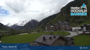
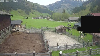
View of the Alpine landscape around Rauris.
3 hours ago
Grossglockner - Heiligenblut (Fallbichl)
Elevation: 2,293 m
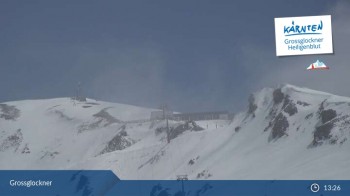
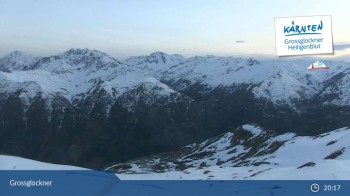
Here you look upon the mountain-scape surrounding Grossglockner / Heiligenblut.
3 hours ago
Goldbergkees - Southeast
Elevation: 2,486 m
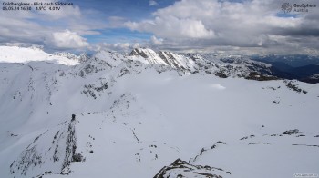
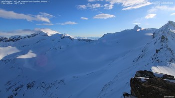
Enjoy the view to Goldbergkees from the southeast ridge between Hoher Sonnblick and Rojacherhütte.
2 hours ago
View to Sonnblick Observatory
Elevation: 2,852 m
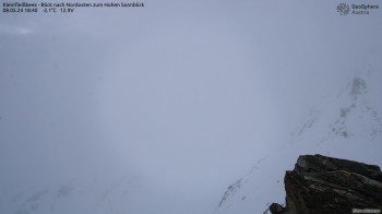
This webcam at Kleinfleißkees offers a great view to the northeast and the Sonnblick Observatory.
48 minutes ago
Rauris, Austria
Elevation: 1,749 m
Here you can see Rauris in Austria
2 hours ago
Sonnblick Observatory
Elevation: 3,037 m
Located at Sonnblick Observatory you can see in a southwesterly direction. In the background you can spot Mölltal valley and the Linzer Dolomites.
48 minutes ago
Rockridge between Goldbergspitze and Roter Mann
Elevation: 2,898 m
Vom Felsgrat zwischen Goldbergspitze und Roter Mann eröffnet sich dir der Blick in nordöstliche Richtung. In der Mitte kannst du das...
48 minutes ago
Kolm-Saigurn (Rauris valley)
Elevation: 1,626 m
Located at Naturfreundehaus Kolm-Saigrun you can see direction south. In the foreground the settlement of Sonnblick base can be spotted.
38 minutes ago
View of Schareck
Elevation: 3,059 m
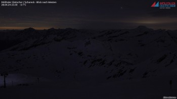
Located at Schareck you can see in a westerly direction the Hoher Sonnblick and the Großglockner, the highest mountain of Austria
48 minutes ago
View of top station Klühspies
Elevation: 2,758 m
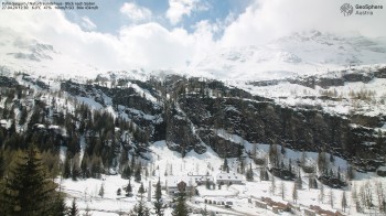
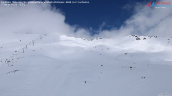
View of the top station of the panorama lift Klühspies direction northeast (Schareck)
48 minutes ago
Mölltal glacier, mountain station Altecklift
Elevation: 2,840 m
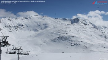
Enjoy the view of the top station of Alteck lift in a northeasterly direction
48 minutes ago
Mountain Restaurant Weitmoseralm
Elevation: 1,935 m
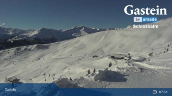
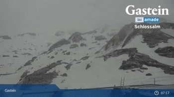
This is the view from Weitmoser Schlossalm over the Alpine landscape around Bad Hofgastein.
3 hours ago
View from Schlossalm Mountain
Elevation: 2,033 m
The webcam looks over the mountain-scape around Schlossalm and Bad Hofgastein.
3 hours ago
Heiligenblut: Schareck Peak (2606 m)
Elevation: 2,500 m
Enjoy the view from Schareck peak (2606 m)
3 hours ago
View of Rauriser Hochalm
Elevation: 1,732 m
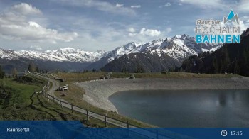
View of the mountains around Rauriser Hochalm.
3 hours ago

Webcam is Missing

A webcam is missing? Do you know the source of another one?

All Webcams on the map

Webcam Information

  • Around the Hike Educational trail "Koenige der Luefte" no. 21, there are 15 webcams.
  • The highest webcam (View of Schareck) is situated 3059 metres above sea level, wheras the lowest webcam (Rauris Valley) is situated 935 metres above sea level.
  • According to its visits, the webcam Rauris Valley is the most popular one in the vicinity.
Travel Deals & Tips
Advertisement
Advertisement
Advertisement
Login with Google+
  • Share your personal insider tip and create new entries
  • Explore fantastic outdoor destinations when and where you want
  • Find your dream destination or discover the world on the interactive map