Hike Panoramic Trail Georgenberg in the Uper Palatine Forest: Position on map

Webcams around the Hike Panoramic Trail Georgenberg (Uper Palatine Forest)

Panoramic Trail Georgenberg
Advertisement
Town Hall Vohenstrauß
Elevation: 567 m
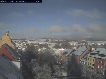
Have a look at the town hall in Vohenstrauß in the north-eastern part of the Bavarian region Upper Palatinate.
temporarily unavailable
Silberhütte Bärnau
Elevation: 847 m
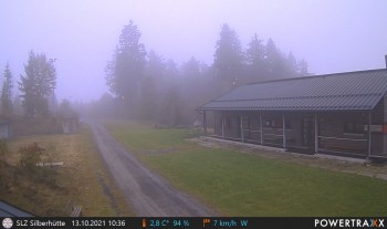
The restaurant Silberhütte is located south of Bärnau at the foot of the mountain Entenbühl in the Upper Palatine Forest in Bavaria.
temporarily unavailable
Laser Biathlon Shooting Stands Silberhütte
Elevation: 847 m
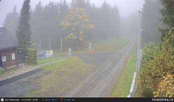
Have a look at the laser biathlon shooting stands at the Silberhütte in the Upper Palatine Forest in Germany.
temporarily unavailable
View near Flossenbürg
Elevation: 683 m
16 minutes ago
The village of Flossenbürg
Elevation: 633 m
Here you can see the view from the town hall towards the catholic church. In the background, you can also spot the ancient castle ruin of city...
19 minutes ago
Fahrenberg (Upper Palatine)
Elevation: 737 m
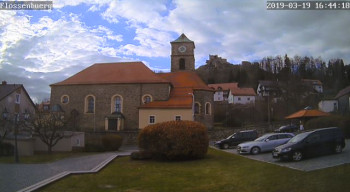
Enjoy your view over the Upper Palatine Forest.
temporarily unavailable

Webcam is Missing

A webcam is missing? Do you know the source of another one?

All Webcams on the map

Webcam Information

Travel Deals & Tips
Advertisement
Advertisement
Advertisement
Advertisement
Login with Google+
  • Share your personal insider tip and create new entries
  • Explore fantastic outdoor destinations when and where you want
  • Find your dream destination or discover the world on the interactive map