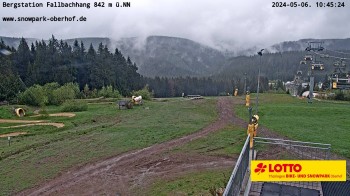
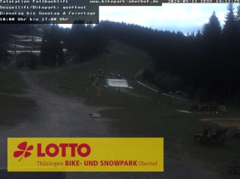
View from top station chair lift at Fallbachhang in Oberhof.
34 minutes ago
Have a look at the Railway of the Oberweißbacher Bergbahn in Thuringia, Germany.
45 minutes ago
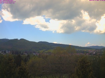
Here you can see Tabarz in the Thuringian Forest in Germany. Spot the Inselsberg in the background.
46 minutes ago
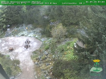
Webcam located at Botanical Garden near Oberhof, Germany.
1 hour ago
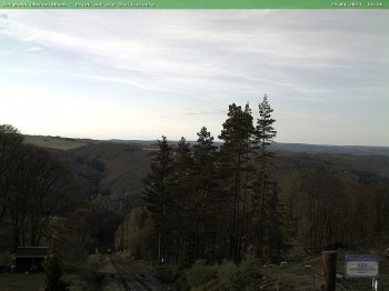
You can see the hiking trail called Rennsteig in the Thuringian Forest.
2 hours ago
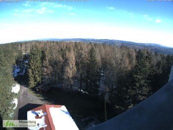
You are looking down at the Rennsteigwarte. The village Masserberg is located on the right side.
temporarily unavailable
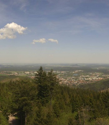
This panoramic webcam provides you with a good outlook from mountain Großer Inselsberg. The mountain is 916 meter high and thus one of the...
1 hour ago
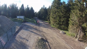
Here you can see the lift "Fallbachhang" in Oberhof in the Thuringian Forest. During wintertime, it is used for skiing.
41 minutes ago
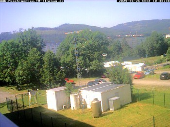
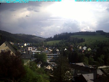
Webcam is located at Manebach, a village near the city of Ilmenau.
35 minutes ago
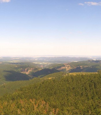
From Bleßberg mountain in Sachsenbrunn, this webcam offers a 360-degree view of the surrounding mountains of the Thuringian Forest.
1 hour ago
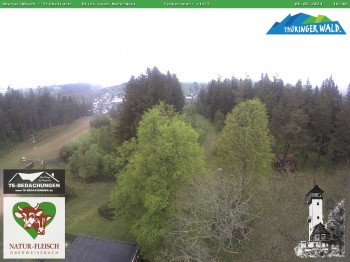
Nice view from Froebelturm, a tower near Oberweissbach, Thuringian Forest.
45 minutes ago
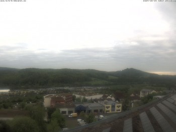
Have a look at the industrial estate Stedtfeld in Eisenach.
temporarily unavailable
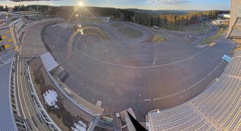
Have a look at the biathlon stadium
2 days ago
Your view of the top of Schneekopf in Gehlberg in Thuringia/ Germany.
1 hour ago
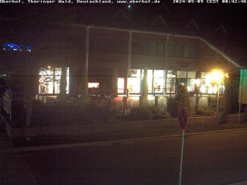
The Webcam shows the shopping center in oberhof downtown
40 minutes ago
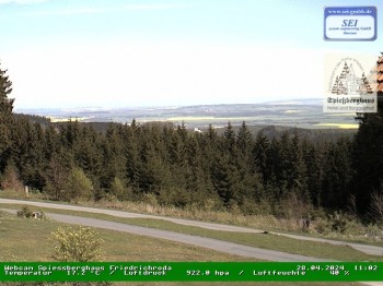
Here you look from mountain restaurant "Spießberghaus" over the Thuringian Forest, Germany. The restaurant is located at the popular hiking trail...
1 hour ago
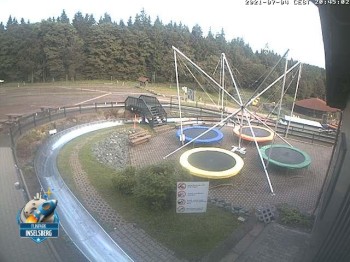
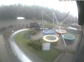
Check out the summer toboggan-run and funpark at Inselsberg close to the hiking trail Rennsteig in Thuringian Forest.
temporarily unavailable
Enjoy the view to Burschenschaftsdenkmal in Eisenach.
temporarily unavailable
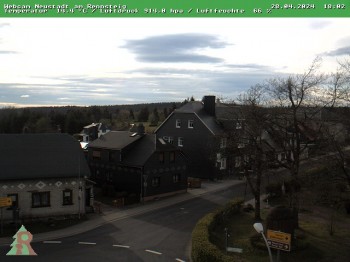
Here you can spot the town Neustadt am Rennsteig in Thuringia, Germany.
4 hours ago
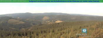
Have a look over Ilmenau in Thuringia, Germany. Webcam shows you the Mountain Kickelhahn.
40 minutes ago
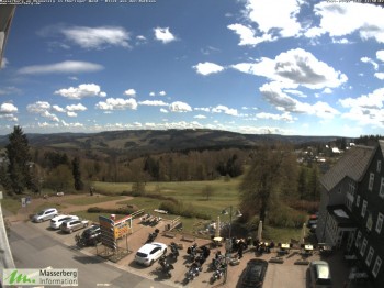
Enjoy your view of Masserberg's town hall. In the background you can see the Turingian Forest.
temporarily unavailable
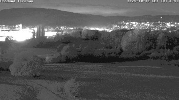
From the health resort Brotterode you have a lovely look at the Thuringian Forest.
42 minutes ago
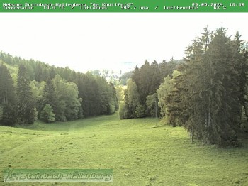
This webcam shows the ski piste Knüllfeld in the Thuringian Forest, one of the most popular hiking areas in Germany.
45 minutes ago
Have a look at the University of Technology in Ilmenau in Thuringia, Germany.
37 minutes ago
Here you can see funpark Inselsberg in Brotterode-Trusetal. The park is locatet at popular hiking trail "Rennsteig" in Thuringian forest in...
temporarily unavailable
Webcam shows you the view from mountain Kickelhahn towards the famous hiking trail Rennsteig in the Thuringian forest, Germany.
temporarily unavailable
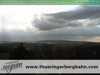
Here you look from city Oberweißbach in Thuringian Forest towards region Langer Berg.
4 hours ago
You can see city Ludwigsstadt in Franconian Forest. The city is located north of popular hiking trail Rennsteig that once marked the boarder...
temporarily unavailable
Have a look from the Kickelhahn Tower over the valley of Ilmenau in Thuringia, Germany.
1 hour ago
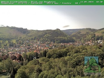
Have a look at Friedrichroda and the Thuringian Forest in Germany.
45 minutes ago
Webcam with view of city Ludwigsstadt in Franconian Forest, Germany. The city is the only bavarian municipality that is located north of the...
temporarily unavailable
Webcam shows skilift and slope in Tettau, a market town in county Kronach in Upper Franconia. Tettau is located at the foot of Rennsteig, the most...
44 minutes ago
Here you can see the outlook from mount "Großer Inselsberg" at the Thuringian Forest, where you can find a small Ski Resort.
48 minutes ago
Have a look at Masserberg's ski piste. In the background you can see the Thuringian Forest. The hiking trail "Rennsteig" passes by the...
temporarily unavailable
Look at mountain Fellberg in holiday resort Steinach in Thuringia. In winter, the area is a popular ski resort.
temporarily unavailable
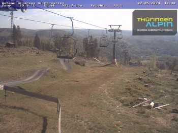
Have a look at the mountain Feldberg in holiday resort Silbersattel Steinach in Thuringia/ Germany.
45 minutes ago