Route description
This tour is suitable for experienced cyclists. Of the 15.5 km, five kolometers are paved, the rest of the way is gravel. Responsible and foresighted cycling is requried because you have to expect oncoming traffic again and again.
Live on the alp - today and 500 years ago
Start ist at the hotel Mohnenfluh. From there you cycle the road uphill to the "Alpmuseum uf'm Tannberg". In the Alpmuseum live on the alp from 500 years ago and today is shown. Next to the museum is the "Batzenalpe", where you can take a break.
Through the picturesque Auenfeld
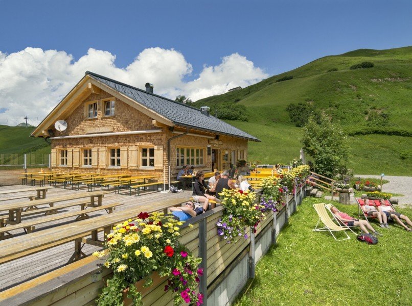
After a small rest, you cycle through the Auenfeld, continue towards Salobersattel and pass the Auenfelder Hütte.
Past the romantic Kalbelesee
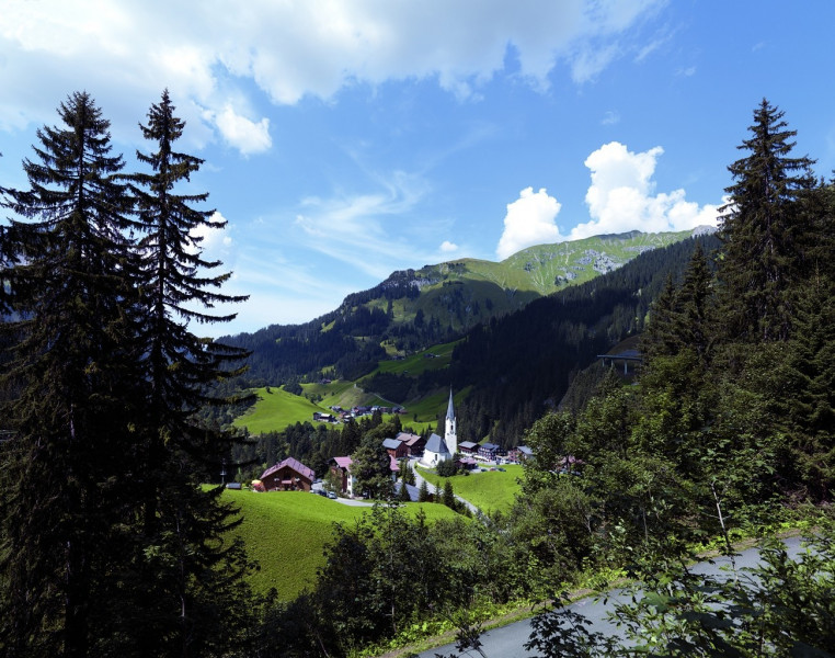
Now the route becomes more demanding. The path leads uphill to the Salobersattel and on to Kalbelesee on the Hochtannbergpass. From there you cycle downhill on the L200 to Nesslegg. In Nesslegg you have to manage the last ascent to Schlössle. From now on it goes down to the starting point.
Where to eat
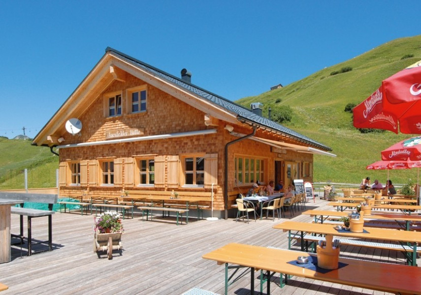
A stop for a break should not be missing. In the Auenfelder Hütte or the restaurants in Schröcken you can indulge in culinary delights.
Interesting facts
- You're traveling a distance of 15 km on this moderate trail. The bike trail is therefore not too long. Average length of all bike Trails in Vorarlberg is 35 km.
- Elevated between 1,265 m and 1,794 m, the bike trail is among the 15 highest elevated bike Trails in Austria. You're facing an uphill climb of 694 vertical meters on this bike trail.
- If you get hungry along the way, there are places to rest and get food. Nevertheless it’s recommended to also have enough water and food in your backpack when hiking or biking.
Highlights of the tour
Alpmuseum "uf'm Tannberg"
In the Alpmuseum you can learn more about life on the alp form 500 years ago until now.
Kalbelesee
The Kalbelesee lies at 1.650 m and is the habitat of highly protected aquativ plants. The water depth is 4,5 m.
Getting here
By car
L200: From Dornbirn / Bregenz via the Bregenzerwald
B198: From Reutte via the Lechtal
B198: From Lech
Parking lot
In Schröcken at the Hotel Mohnenfluh (next to the church).