

Route description
To the Highest Mountain in Saxony
The hike starts at Neudorf's commercial area. At Zimmerei Frei, you start onto Pfarrweg to the right. Slightly ascending, you walk to Pfarrbaum, a 300 year old sycamore. It is under protection since 1941. Continue towards Siebensäure. On your way, you come past the hut Gründelweg; from there on you follow the red and white marks of the Firstenweg path. The trail leads you to the forest pub Siebensäure, where you can take a rest. Continue to Talscheiden moor, whose emergence is explained on several informative boards. If you want, you can walk into the moor for a bit on Knüppel dam. After the hut on Kuhbrückenberg, follow Gifthüttenstraße to Ausrückweg. The path low meets Kammweg Erzgebirge Vogtland, another hiking trail which you follow to the summit of Fichtelberg mountain.
Along Fichtelbergbahn Back to Neundorf
At 1,214m/3,983ft you can enjoy a panoramic view of Saxony, and sign the summit book. Start descending on Kammweg path. Just before Kretscham-Rothensehma, the trail meets Erlebnispfad Bimmelbahn, yet another hiking path. Follow this way towards Cranzahl; it leads you along the tracks of Fichtelbergbahn and via Obermühle back to Neundorf.
Where to eat
- Forest pub Siebensäure: idyllic forest location with beer garden
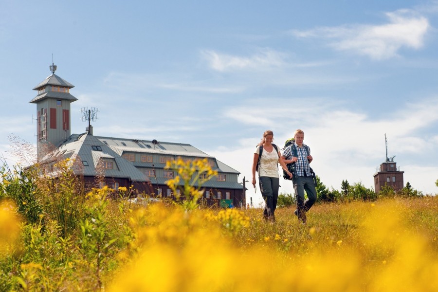
- Restaurant Fichtelberghaus: regional specialities and sun deck
Interesting facts
- With an overall length of 19 km the hike is among the 3 longest hikes in Saxony available on TouriSpo.
- From Neudorf to the Fichtelberg is the the best rated hike in Saxony.
- Elevated between 685 m and 1,213 m, the hike is the highest elevated hikes in Saxony. You're facing an uphill climb of 345 vertical meters on this hike.
- Hiking boots are not required, but the hike might be more enjoyable with sturdy footwear (especially in wet conditions). If you get hungry along the way, there are places to rest and get food. Nevertheless it’s recommended to also have enough water and food in your backpack when hiking or biking.
Highlights of the tour
Fichtelberg features a beautiful view over Saxony, as it is the highest mountain in the Free State.
Getting here
By car
Follow motorway A72 to exit Stollberg-West, where you change onto B169 towards Stollberg-West/ Erzgebirge. Behind Gablenz, turn left onto Hartensteiner Straße, which leads to Zwönitz. Follow the main road to Scheibenberg, where the street meets B101. At the end of the town, turn left onto Crottendorfer Straße, and follow the main road to Neudorf. At the village church, turn into Gewerbegebiet street, where the hike starts.
Public transportation
Regional trains go to Cranzahl. You can change onto Fichtelbergahn there, which also calls at Neudorf. Alternatively, buses go from Annaberg-Buchholz and Oberwiesenthal. The bus stop is called Kaiserhof Neudorf.