Route description
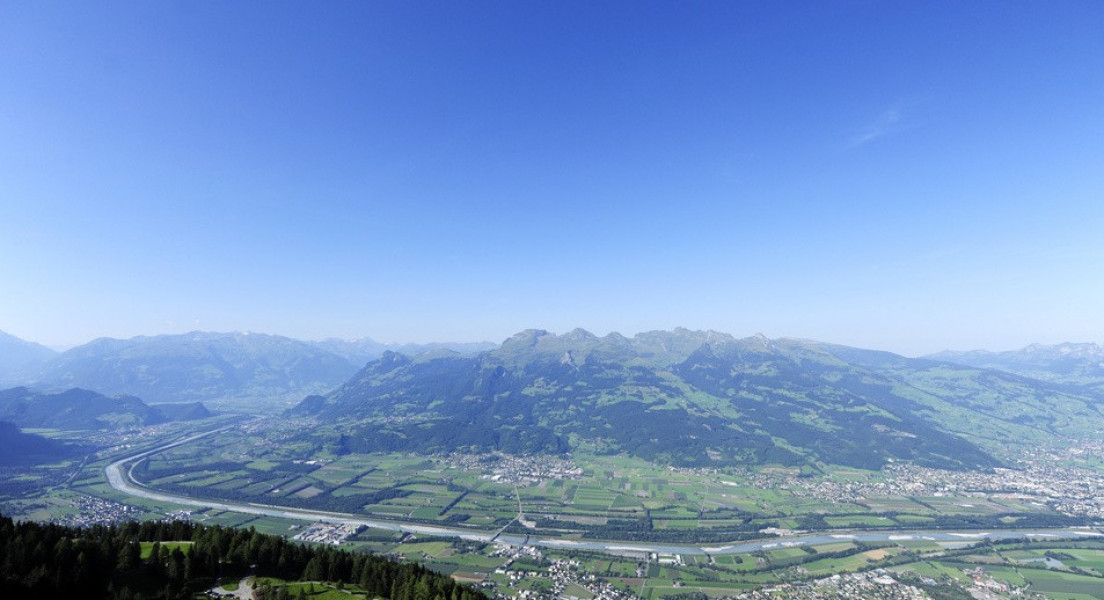
The „Liechtensteiner Panoramaweg“ takes 3 to 4 days and leads from Malbun to Ruggell. You will have a view above the mountain Rätikon as far as Lake Constance.
Stage 1: Malbun – Steg
13km (10mi), time: 7h
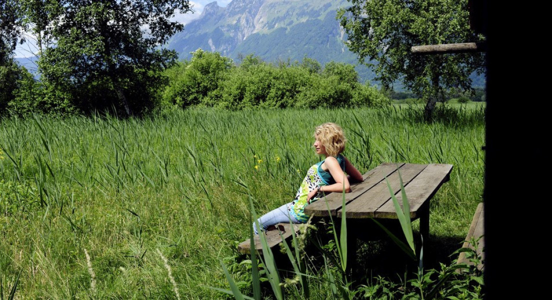
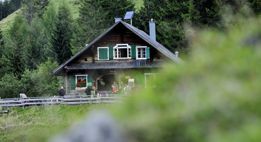
From Malbun walk to the cable car station at Sareiserjoch. You can take the cable car to get there. The path „Fürstin-Gina“ leads you up to Augstenberg. Next to the summit cross you will have a great view on the mountain chains „Falkniskette“ and „Schesaplanastock“. Afterwards descend on a steep and rocky path to hut Pfälzerhütte. A detour to Naafkopf is totally worth it. Pfälzerhütte is suitable to stay overnight. Alternatively you can walk towards the northern slope of mountain Naafkopf and as far as valley Saminatal. From there you get to the hamlet Steg, where you are welcome to stay at guest house Sücka or hotel Steg.
Stage 2: Steg- Gafadura
12km (8mi), time: 7h
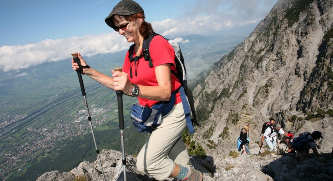
The second part of the hike starts in Steg and guides you over Alp Silum Fürstensteig. The path is hewn out of the rock and is known as one of the most venturous paths on mountain Rätikon. At the summit cross on Grafleispitz take the ridge Kuhgrat and enjoy the stunning backdrop while you walk up to steep-track Drei-Schwestern-Steig. Continue to hut Gafadurahütte, where you spend the second night.
Stage 3: Gafadura- Ruggell
19km (11,8mi), time: 7h
From hut Gafadurahütte start descending to Planken. Enjoy the amazing view while you hike down on winding roads and mountain trails. Now descend steeply, through a forest until you reach Nendeln. Via Mauren you get to mountain Eschnerberg. Start the last descent in Hinter-Schellerberg and hike down to Ruggell.
Interesting facts
- With an overall length of 44 km the hike is currently the longest hike in Liechtenstein available on TouriSpo.
- Hike On Liechtenstein Panoramic Trail from Malbun to Ruggell is among the 3 best rated Hikes in Liechtenstein.
- Elevated between 398 m and 2,365 m, the hike is the highest elevated hikes in Liechtenstein. You're facing an uphill climb of 2622 vertical meters on this hike. This is quite much. You should be fit to do this track. This makes the Hike the one with the largest ascent in Liechtenstein.
- Make sure to bring sturdy footwear on this track. Hiking boots are highly recommended. There are places to buy beverages and food along the track. However it’s always recommended to bring enough water and food along with you.
Video
Equipment
The „Liechtensteiner Panoramaweg“ is signposted with the guidepost 66. We still recommend to bring a map. Snow can be found high up even in summer, so make sure to where appropriate clothing. Some parts are challenging, you will need strong footwear and you should be free from giddiness.
At steep-track Fürstensteig kids should be held on a rope.
Getting here
By car:
Coming from Switzerland take A13 exit at Sevelen towards Vaduz and turn onto Zollstraße. Continue towards Triesenberg, Steg and Malbun.
Coming from Austria take A14, exit at Feldkirch towards Nendeln and Vaduz.
Parking available in Malbun.
By public transport:
You can also take the bus (21) from Vaduz.