Hike Juppi Magic Forest in the Alpbachtal Seenland: Position on map

Hike Juppi Magic Forest

Juppi Magic Forest

Elevation

Min: 1,169 m
Max: 1,234 m
Uphill: 102 m
Downhill: 102 m
  • Upload GPS data
About the author
last update on 11 Apr 2022
Rate the Hike
0
(0)
Travel Deals & Tips
Advertisement
Advertisement
Advertisement
Facts
Difficulty
Moderate
Distance: 2.50 km
Duration:2 h
Loop trail
Min: 1,169 m
Max: 1,234 m
Uphill: 102 m
Downhill: 102 m

Trail characteristics

Asphalt
Forest track

Interesting facts

Read more
  • You're traveling a distance of 3 km on this moderate trail. The hike is therefore not too long. The average length of all hikes in Tyrol is 15 km.
  • You're facing an uphill climb of 102 vertical meters on this hike. The track is therefore relatively flat. The hike takes you to an elevation of 1,234 m.
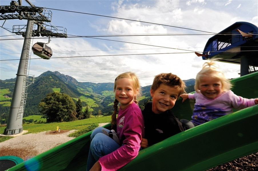
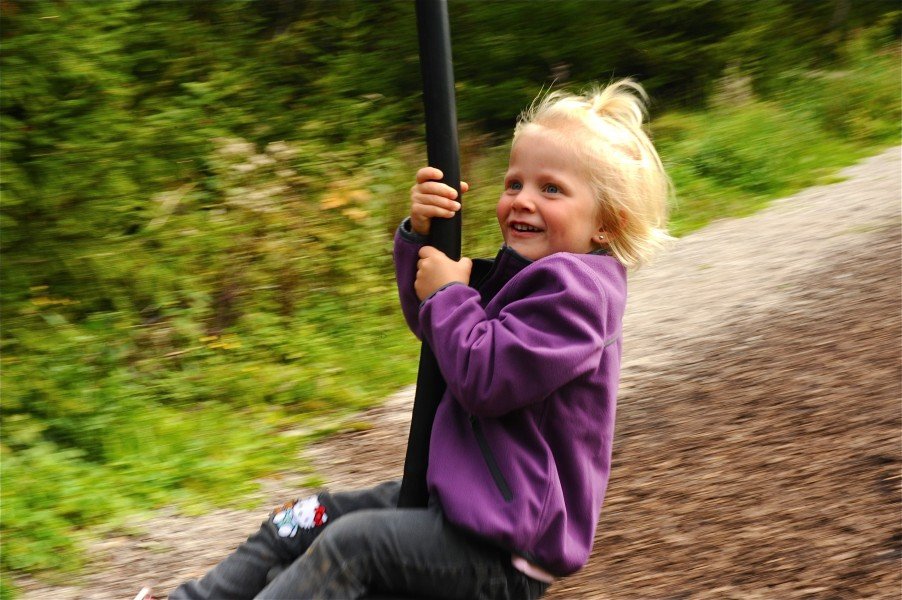
  • The hike is one of the family friendly trails in the region.
  • In case of good weather conditions, the hike can also be done without bringing your hiking boots.

Contact

Infobüro Reith im Alpbachtal
Dorf 41
6235
Reith im Alpbachtal
E-Mail
%69%6e%66%6f%40%61%6c%70%62%61%63%68%74%61%6c%2e%61%74
Phone+43 (5337) 21200 40
Fax+43 (5337) 21200 100
Travel Deals & Tips
Advertisement

Comments

Rate the Hike
No posts available yet:
  • Nobody has posted on the wall of the Hike "Juppi Magic Forest" yet
  • Be the first to comment!
Login with Google+
  • Share your personal insider tip and create new entries
  • Explore fantastic outdoor destinations when and where you want
  • Find your dream destination or discover the world on the interactive map