Hike Mountain Huts Tour Windach Valley Ötztal: Position on map

Hike Mountain Huts Tour Windach Valley

Mountain Huts Tour Windach Valley

Elevation

Min: 1,350 m
Max: 3,036 m
Uphill: 2,977 m
Downhill: 2,409 m
  • Upload GPS data
About the author
last update on 4 Sep 2018
Rate the Hike
0
(0)
Travel Deals & Tips
Advertisement
Advertisement
Advertisement
Facts
Difficulty
Advanced
Distance: 51.71 km
Duration:18 h 30 min
Loop trail
Min: 1,350 m
Max: 3,036 m
Uphill: 2,977 m
Downhill: 2,409 m

Best Season

Trail characteristics

Asphalt
Dirt road
Forest track
Hiking trail

Interesting facts

Read more
  • With an overall length of 52 km the hike is among the 15 longest hikes in Austria available on TouriSpo.
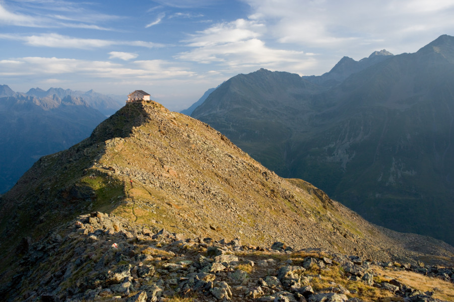
  • Elevated between 1,350 m and 3,036 m, the hike is among the 5 highest elevated hikes in Austria. You're facing an uphill climb of 2977 vertical meters on this hike. This is quite much. You should be fit to do this track. This makes the hike one of the 15 hikes with the most ascent in Austria.
  • The hike is one of the family friendly trails in the region. The hike is also perfect if the kid’s wanna bring their dog on the trip. (See all dog friendly hikes in Tyrol.)
  • You shouldn’t forget to bring your hiking boots. There are some sections on the trail where sturdy footwear is required. If you get hungry along the way, there are places to rest and get food. Nevertheless it’s recommended to also have enough water and food in your backpack when hiking or biking.

Contact

Ötztal Tourismus
Gemeindestraße 4
A-6450
Sölden
E-Mail
%69%6e%66%6f%40%6f%65%74%7a%74%61%6c%2e%63%6f%6d
Phone+43 (0) 57200
Fax+43 (0) 57200 201
Travel Deals & Tips
Advertisement

Comments

Rate the Hike
No posts available yet:
  • Nobody has posted on the wall of the Hike "Mountain Huts Tour Windach Valley" yet
  • Be the first to comment!
Login with Google+
  • Share your personal insider tip and create new entries
  • Explore fantastic outdoor destinations when and where you want
  • Find your dream destination or discover the world on the interactive map