Hike Seven Summits - Zuckerhütl in Stubai: Position on map

Hike Seven Summits - Zuckerhütl

Seven Summits - Zuckerhütl

Elevation

Min: 2,289 m
Max: 3,410 m
Uphill: 787 m
Downhill: 1,632 m
  • Upload GPS data
About the author
last update on 9 Oct 2017
Rate the Hike
0
(0)
Travel Deals & Tips
Advertisement
Advertisement
Advertisement
Facts
Difficulty
Advanced
Distance: 11.66 km
Duration:7 h 30 min
Min: 2,289 m
Max: 3,410 m
Uphill: 787 m
Downhill: 1,632 m

Trail characteristics

Hiking trail
Experts only

Interesting facts

Read more
  • You're traveling a distance of 12 km on this strenuous trail. Average length of all hikes in Tyrol is 15 km.
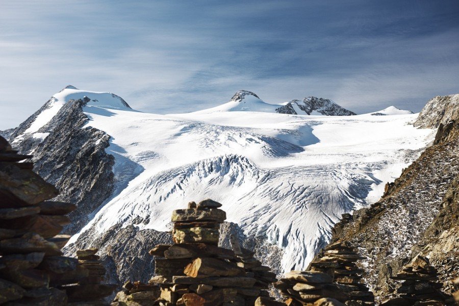
  • Elevated between 2,289 m and 3,410 m, the hike is the highest elevated hikes in Austria. You're facing an uphill climb of 787 vertical meters on this hike.
  • Sturdy hiking boots are recommended on this track.

Contact

Tourismusverband Stubai Tirol
Stubaitalhaus, Dorf 3
6167
Neustift
E-Mail
%69%6e%66%6f%40%73%74%75%62%61%69%2e%61%74
Phone+43 (0) 501 881 0
Fax+43 (0) 501 881 199
Travel Deals & Tips
Advertisement

Comments

Rate the Hike
No posts available yet:
  • Nobody has posted on the wall of the Hike "Seven Summits - Zuckerhütl" yet
  • Be the first to comment!
Login with Google+
  • Share your personal insider tip and create new entries
  • Explore fantastic outdoor destinations when and where you want
  • Find your dream destination or discover the world on the interactive map