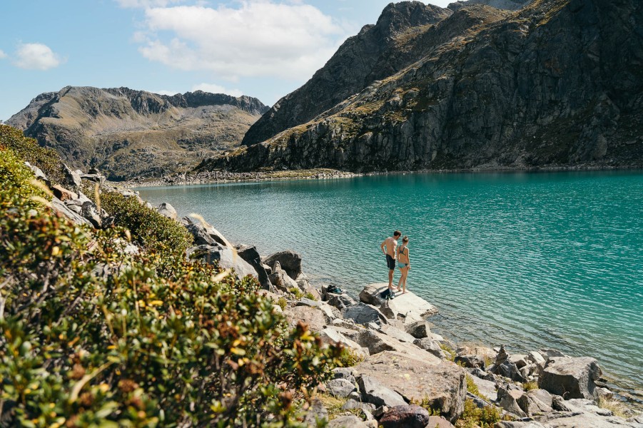
Hike WildeWasserWeg Stage 3: Sulzenauhütte - Sulzenauferner Glacier in Stubai: Position on map

Hike WildeWasserWeg Stage 3: Sulzenauhütte - Sulzenauferner Glacier

WildeWasserWeg Stage 3: Sulzenauhütte -...

Elevation

Min: 2,194 m
Max: 2,476 m
Uphill: 286 m
Downhill: m
  • Upload GPS data
About the author
last update on 27 Apr 2017
Rate the Hike
0
(0)
Travel Deals & Tips
Advertisement
Advertisement
Advertisement
Facts
Difficulty
Moderate
Distance: 2.23 km
Duration:1 h 30 min
Loop trail
Min: 2,194 m
Max: 2,476 m
Uphill: 286 m
Downhill: m

Trail characteristics

Hiking trail

Interesting facts

Read more
  • You're traveling a distance of 2 km on this moderate trail. The hike is therefore not too long. Average length of all hikes in Tyrol is 15 km.
  • You're facing an uphill climb of 286 vertical meters on this hike. The highest point of the track is 2,476 m above sea level.
  • Make sure to bring sturdy footwear on this track. Hiking boots are highly recommended. If you get hungry along the way, there are places to rest and get food. Nevertheless it’s recommended to also have enough water and food in your backpack when hiking or biking.

Contact

Tourismusverband Stubai Tirol KöR
Stubaitalhaus, Dorf 3
6167
Neustift, Tirol
E-Mail
%69%6e%66%6f%40%73%74%75%62%61%69%2e%61%74
Phone+43 (0) 501 881 0
Fax+43 (0) 501 881 199
Travel Deals & Tips
Advertisement

Comments

Rate the Hike
No posts available yet:
  • Nobody has posted on the wall of the Hike "WildeWasserWeg Stage 3: Sulzenauhütte - Sulzenauferner Glacier" yet
  • Be the first to comment!
Login with Google+
  • Share your personal insider tip and create new entries
  • Explore fantastic outdoor destinations when and where you want
  • Find your dream destination or discover the world on the interactive map