Hike Prättigau mountain trail (4 stages) in the Prättigau: Position on map

Hike Prättigau mountain trail (4 stages)

Prättigau mountain trail (4 stages)

Elevation

Min: 523 m
Max: 2,270 m
Uphill: 2,213 m
Downhill: 620 m
  • Upload GPS data
Rate the Hike
0
(0)
Travel Deals & Tips
Advertisement
Advertisement
Advertisement
Facts
Difficulty
Moderate
Distance: 63.24 km
Duration:1 day 1 h
Min: 523 m
Max: 2,270 m
Uphill: 2,213 m
Downhill: 620 m

Trail characteristics

Dirt road
Hiking trail
Experts only

Interesting facts

Read more
  • With an overall length of 63 km the hike is currently the longest hike in Switzerland available on TouriSpo.
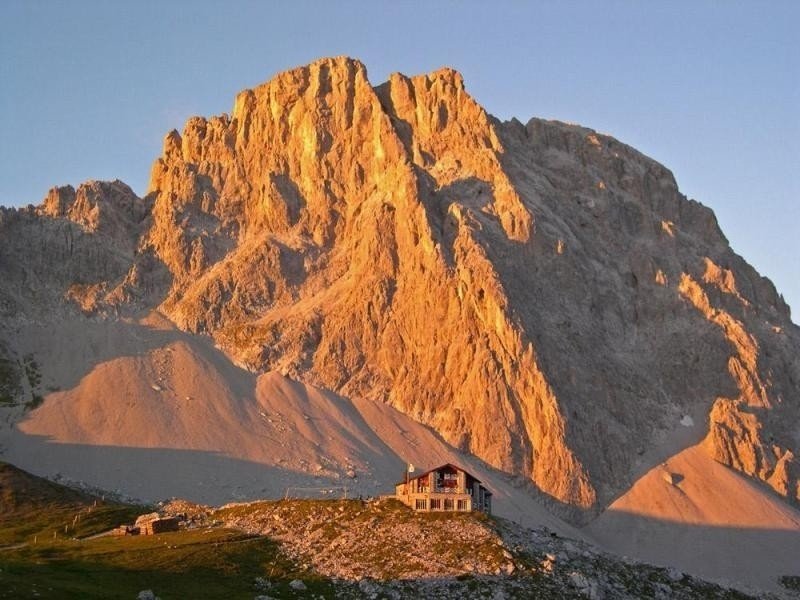
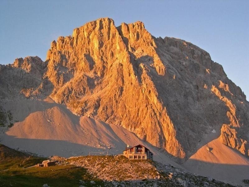
  • Elevated between 523 m and 2,270 m, the hike is among the 10 highest elevated hikes in Grisons. You're facing an uphill climb of 2213 vertical meters on this hike. This is quite much. You should be fit to do this track. This makes the Hike the one with the largest ascent in Switzerland.
  • In case of good weather conditions, the hike can also be done without bringing your hiking boots.

Contact

Prättigau Tourismus GmbH
Sand 151
7240
Grüsch
E-Mail
%69%6e%66%6f%40%70%72%61%65%74%74%69%67%61%75%2e%69%6e%66%6f
+41 (0)81 325 11 11
Travel Deals & Tips
Advertisement

Comments

Rate the Hike
No posts available yet:
  • Nobody has posted on the wall of the Hike "Prättigau mountain trail (4 stages)" yet
  • Be the first to comment!
Login with Google+
  • Share your personal insider tip and create new entries
  • Explore fantastic outdoor destinations when and where you want
  • Find your dream destination or discover the world on the interactive map