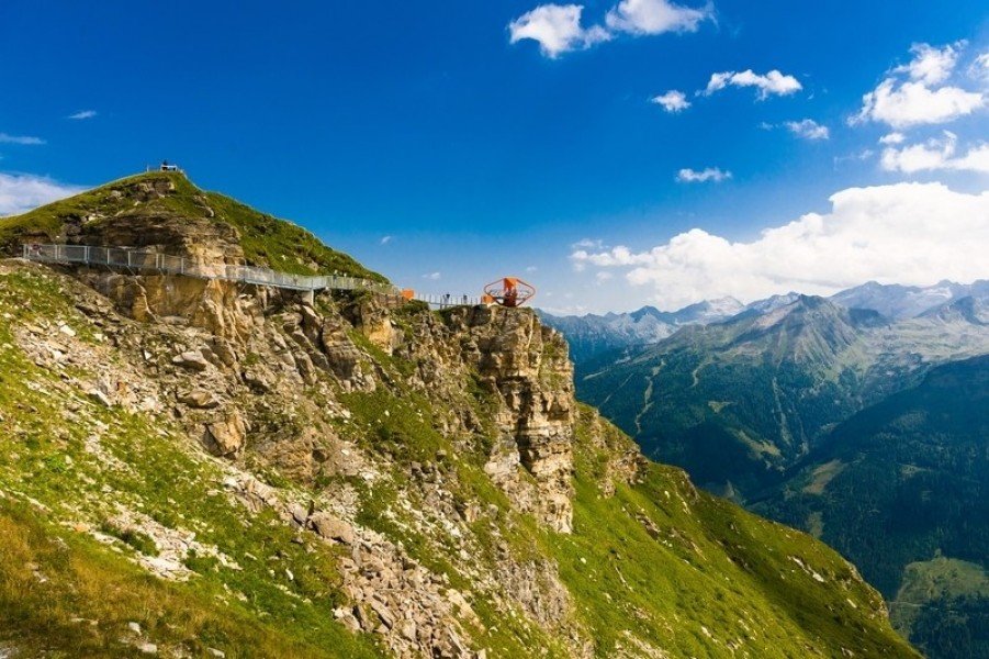
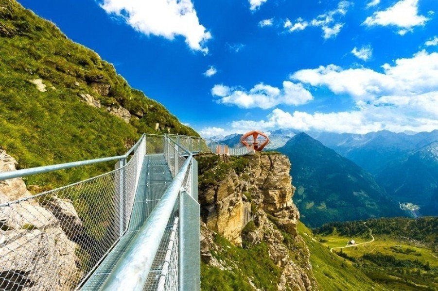
Hike Rock Trail Stubnerkogel Bad Gastein in the Gasteinertal: Position on map

Hike Rock Trail Stubnerkogel Bad Gastein

Rock Trail Stubnerkogel Bad Gastein
  • Upload GPS data
About the author
last update on 26 Sep 2017
Rate the Hike
0
(0)
Travel Deals & Tips
Advertisement
Advertisement
Advertisement
Facts
Difficulty
Easy
Distance: km
Duration:30 min
Loop trail
Max: 2,217 m

Trail characteristics

Hiking trail
Experts only

Interesting facts

Read more
  • You're traveling a distance of 1 km on this easy trail. The hike is therefore not too long. The average length of all hikes in Salzburg is 15 km.
  • This easy hike is perfect for the whole family.
  • Sturdy hiking boots are recommended on this track.

Contact

Gasteiner Bergbahnen AG
Bundesstraße 567
A-5630
Bad Hofgastein
E-Mail
%69%6e%66%6f%40%73%6b%69%67%61%73%74%65%69%6e%2e%63%6f%6d
Phone+43 (0)6432 6455 - 0
Fax+43 (0)6432 6455 - 66
Travel Deals & Tips
Advertisement

Comments

Rate the Hike
No posts available yet:
  • Nobody has posted on the wall of the Hike "Rock Trail Stubnerkogel Bad Gastein" yet
  • Be the first to comment!
Login with Google+
  • Share your personal insider tip and create new entries
  • Explore fantastic outdoor destinations when and where you want
  • Find your dream destination or discover the world on the interactive map