
Route description
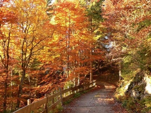
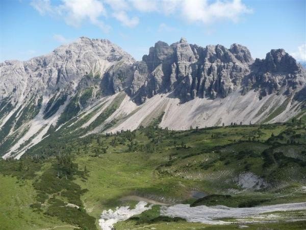
Starting at the car park, the hike leads through an under-crossing underneath the Bundesstraße. Thereafter, keep to the left of the road on the way towards Rauth and follow the signs to the Birkental. Continue on the Dillinger Weg, passing the Höflishütte and the Birkentaler Jägerhütte (mountain huts). The path crosses several streams and pastures leading to the Lachenjoch. Keep to the right on the Saalfelder Höhenweg until you reach the Ziegerstein and continue underneath the Schochenspitze in the direction of Gappenfelder Alpe. Carry on towards the Strindental, passing the Sulzspitze via the Strindenscharte. Just before reaching lake Haldensee you'll leave the Strindenalpe and Edenbachalpe. Back in the valley, turn right and pass the swimming pool Haldensee. Keep hiking along the gravel road at the lake. Just before reaching Nesselwängle, the path will get slightly steeper before turning into a downhill slope. After passing the elevators of Nesselwängle you'll be back to the starting point of the hiking tour.
Interesting facts
- You're traveling a distance of 25 km on this strenuous trail. This makes it a relatively long hike. Average length of all hikes in Tyrol is 15 km.
- You're facing an uphill climb of 1206 vertical meters on this hike. The highest point of the track is 2,005 m above sea level.
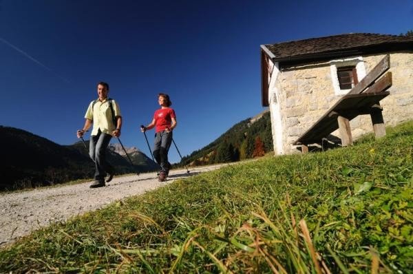
- Make sure to bring sturdy footwear on this track. Hiking boots are highly recommended. If you get hungry along the way, there are places to rest and get food. Nevertheless it’s recommended to also have enough water and food in your backpack when hiking or biking.
Highlights of the tour
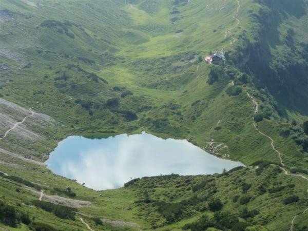
At the Lachenjoch, you have a wonderful view to the Lache and the Landsberger Hütte (mountain hut).
If you're in the mood for a swim, the swimming pool Haldensee is close.
Equipment
The Alpine map A299 “Tannheimer Tal” is available in all tourist offices in the Tannheimer valley.
Getting here
By car
Coming from Reutte, you'll drive until Weißenbach am Lech, then change onto the B199 and keep driving in this direction until Nesselwängle. You'll find the car park on the right when entering the town.
Coming from Sonthofen via Bad Hindelang, you'll take the B308 and the B199 until you reach Nesselwängle. The car park is located at the town's exit on the left.