Route description
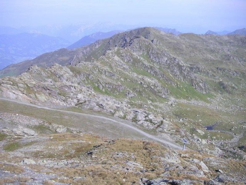
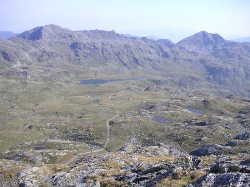
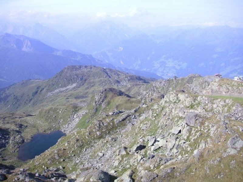
From the starting point of the tour, the Rosenalm at 1744 metres/ 1907 yards altitude, the tour will lead out of the valley. At the cattle grid, which is just at a junction, you'll turn right. The way will slightly steeply lead upwards to the Gründlalm, which offers food and beverages. Once there, you'll turn left and hike until you get to the Kreuzjoch Alm. Sticking to the right, you'll be walking straight towards the Kreuzjoch Alm. After the hut, the way leads leftwards to the mountain station Hanser X-Press. Just before the station, a hiking path begins that will lead along the mountain ridge. After crossing the ski slope, you'll continue on the south side of the acclivity. If you get to the mountain ridge, you'll have the chance to carry on up to the peak of the Kreuzjoch at an altitude of 2558 metres/ 2797 yards.
Interesting facts
- You're traveling a distance of 7 km on this strenuous trail. The hike is therefore not too long. The average length of all hikes in Tyrol is 15 km.
- You're facing an uphill climb of 867 vertical meters on this hike. The highest point of the track is 2,530 m above sea level.
- Make sure to bring sturdy footwear on this track. Hiking boots are highly recommended. There are places to buy beverages and food along the track. However it’s always recommended to bring enough water and food along with you.
Highlights of the tour
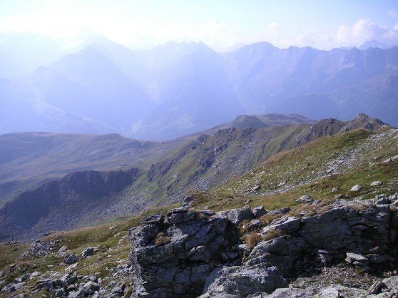
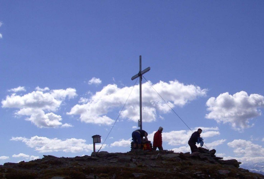
From the peak of the Kreuzjoch, the highest point of the Kitzbüheler Alps, a breath-taking 360° view on the surrounding mountain world will stun the hiker.
Equipment
On this tour, you are advised to wear solid mountain boots.
Getting here
By car
The way to Zillertal leads via the A12 on the Inntalautobahn. Take the exit at Wiesing and then continue on the B169 in the direction of Achensee/ Zillertal (second exit at the roundabout). Stay on this way until you exit at Rohrerstraße. There, you'll turn right. At the valley station of the Rosenalmbahn car parks are provided.
The tour starts at the Rosenalm. At Zell am Ziller you'll get on the Rosenalmbahn that will take the hikers quickly to the mountain station.