Hike Circuit Isskogel - Kreuzjoch - Gerlos in the Zillertal: Position on map

Hike Circuit Isskogel - Kreuzjoch - Gerlos

Circuit Isskogel - Kreuzjoch - Gerlos

Elevation

Min: 1,263 m
Max: 2,548 m
Uphill: 452 m
Downhill: 1,401 m
  • Upload GPS data
Rate the Hike
0
(1)
Travel Deals & Tips
Advertisement
Advertisement
Advertisement
Facts
Difficulty
Advanced
Distance: 17.27 km
Duration:6 h
Loop trail
Min: 1,263 m
Max: 2,548 m
Uphill: 452 m
Downhill: 1,401 m

Trail characteristics

Forest track
Hiking trail
Experts only

Interesting facts

Read more
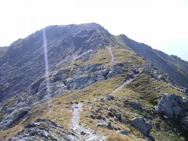
  • You're traveling a distance of 17 km on this strenuous trail. The average length of all hikes in Tyrol is 15 km.
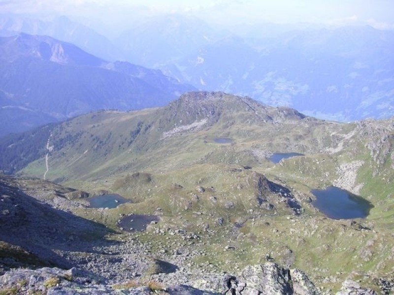
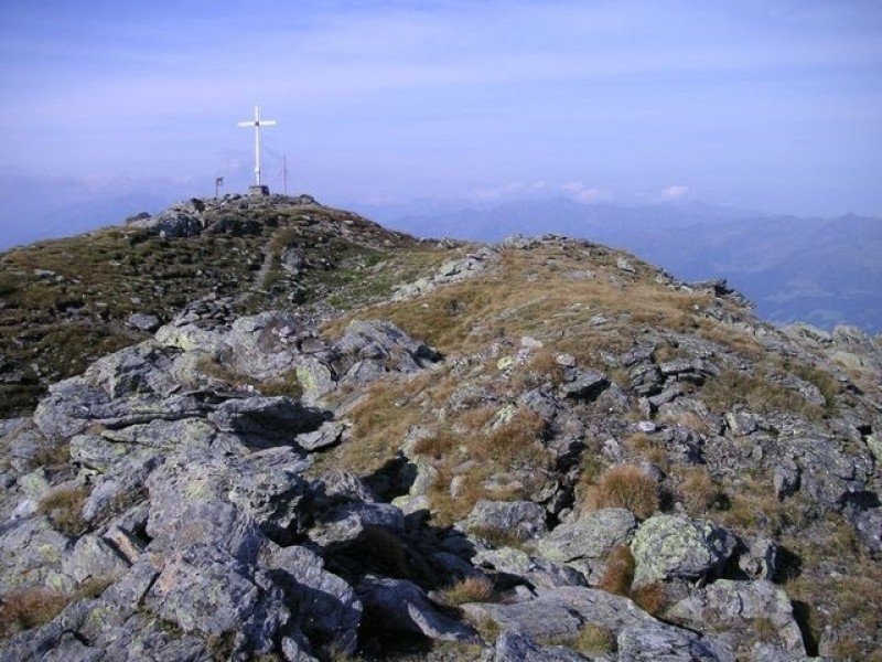
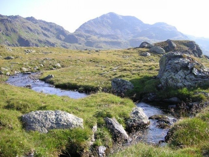
  • You're facing an uphill climb of 452 vertical meters on this hike. The highest point of the track is 2,548 m above sea level.
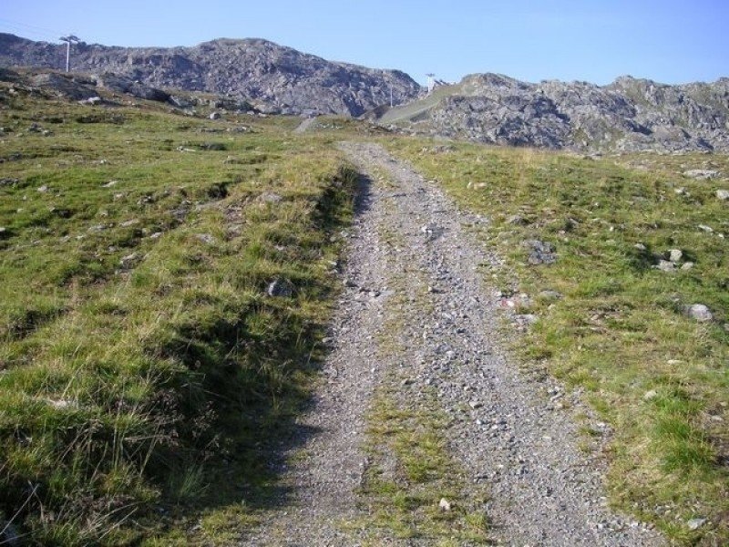
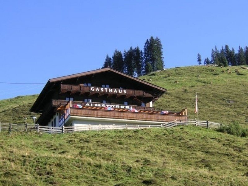
  • Make sure to bring sturdy footwear on this track. Hiking boots are highly recommended. There are places to buy beverages and food along the track. However it’s always recommended to bring enough water and food along with you.

Contact

Zillertal Arena
Dorfplatz 3a
6280
Zell im Zillertal
E-Mail
%69%6e%66%6f%40%7a%65%6c%6c%2d%67%65%72%6c%6f%73%2e%61%74
Phone(+43) 5282/2281 0
Fax(+43)5282/2281 80
Travel Deals & Tips
Advertisement

Comments

Rate the Hike
No posts available yet:
  • Nobody has posted on the wall of the Hike "Circuit Isskogel - Kreuzjoch - Gerlos" yet
  • Be the first to comment!
Login with Google+
  • Share your personal insider tip and create new entries
  • Explore fantastic outdoor destinations when and where you want
  • Find your dream destination or discover the world on the interactive map