Hike Planet path in Eggental: Position on map

Webcams around the Hike Planet path (Eggental)

Planet path
Advertisement
Laner Obereggen
Elevation: 1,814 m
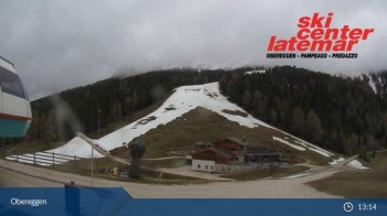
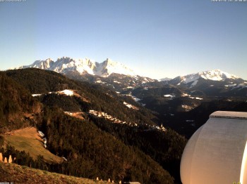
Enjoy the view of the Dolomites surrounding Obereggen.
43 minutes ago
Absam Base Station (Obereggen)
Elevation: 1,732 m
Here you get a panoramic view around the base station Absam in Obereggen, South Tyrol.
27 minutes ago
Eggental - UNESCO World Heritage Dolomites
Elevation: 1,680 m
Enjoy the panoramic view of the UNESCO World Heritage Dolomites.
36 minutes ago
Eggental - Tischenwarte - Dolomites
Elevation: 1,544 m
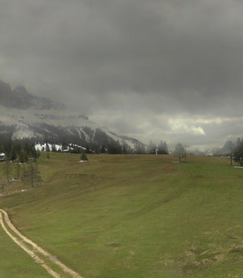
Enjoy the view from Tischenwarte over the Eggental Valley.
43 minutes ago
Welschnofen: View chair Lift King Laurin
Elevation: 1,744 m
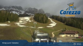
Webcam located near Welschnofen at base station of chair lift King Laurin.
42 minutes ago
Gummer - View to Southeast
Elevation: 1,286 m
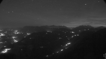
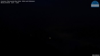
Have a look from the Max Valier observatory in Gummer to the southeast.
42 minutes ago
Bozen - Dolomiten View Hotel Lichtenstern
Elevation: 1,276 m
View to Oberbozen and the Dolomites
40 minutes ago
Bozen - Panoramic view Hotel Kohlern
Elevation: 1,136 m
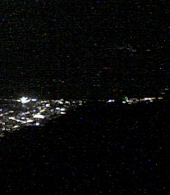
View from hotel Kohlern to the city of Bolzano
42 minutes ago
Observatory Max Valier
Elevation: 1,286 m
Webcam located at Max Valier astronomical observatory near Gummer, South Tyrol.
temporarily unavailable
Panoramic view Tiers at mountain range Rosengarten, South Tyrol
Elevation: 1,012 m
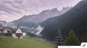
Here you can see the panoramic view of Tiers at mountain range Rosengarten in South Tyrol
temporarily unavailable
Top station chairlift Obereggen-Oberholz
Elevation: 2,087 m
Enjoy the view from the top station of the chairlift Oberholz located at the mountain Latemar.
temporarily unavailable
Welschnofen: Hotel Post
Elevation: 1,160 m
Stationed at the hotel in Welschnofen you can enjoy the view towards Latemar.
temporarily unavailable
Welschnofen: Hotel Nigglhof
Elevation: 1,342 m
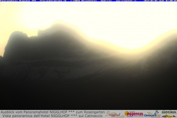
Situated at the Hotel Nigglhof you can enjoy the view of Rosengarten.
33 minutes ago
Völs am Schlern (South Tyrol)
Elevation: 834 m
Enjoy the 360° view of the municipality Völs am Schlern
21 minutes ago
Val di Fiemme Agnello
Elevation: 2,066 m
2 days ago
Val di Fiemme Obereggen
Elevation: 1,575 m
33 minutes ago
chairlift Monte Agnello
Elevation: 2,080 m
33 minutes ago

Webcam is Missing

A webcam is missing? Do you know the source of another one?

All Webcams on the map

Webcam Information

  • 17 webcams are in this Hike’s vicinity. The webcams fall into three groups, namely 3 live streaming webcams, 4 panoramic webcams und 10 further webcams.
  • The highest webcam (Top station chairlift Obereggen-Oberholz) is situated 2087 metres above sea level, wheras the lowest webcam (Völs am Schlern (South Tyrol)) is situated 834 metres above sea level.
  • According to its visits, the webcam Laner Obereggen is the most popular one in the vicinity.
Travel Deals & Tips
Advertisement
Advertisement
Advertisement
Login with Google+
  • Share your personal insider tip and create new entries
  • Explore fantastic outdoor destinations when and where you want
  • Find your dream destination or discover the world on the interactive map