Webcam located at top station of Lazaun gondola in Alpin Arena Schnals, South Tyrol.
27 minutes ago
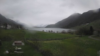
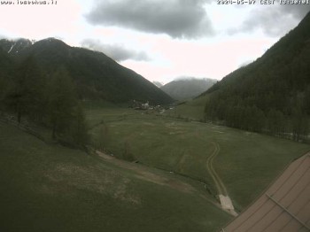
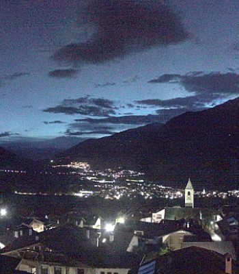
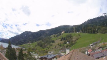
View of Village Unser Frau in Schnalstal Valley. Webcam is located at Berghotel Tyrol.
temporarily unavailable
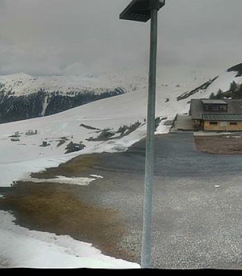
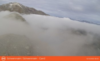
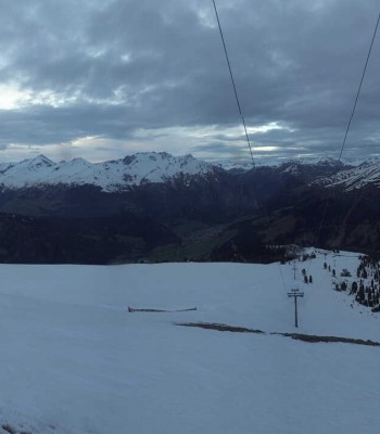
This webcam shows the ski slope Asmolpiste at the ski resort Schwemmalm Ultental.
19 minutes ago
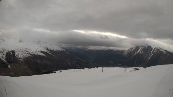
View from Breiteben top station over the mountain-scape around Ulten.
19 minutes ago
Panoramic view of village Prad, South Tyrol
temporarily unavailable
This webcam is located at the Vital Hotel Ortlerspitz in St. Valentin auf der Haide.
51 minutes ago
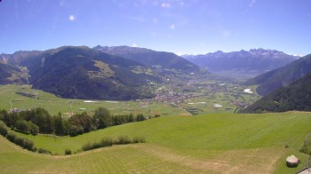
Enjoy the panoramic view of the landscape from the Kastellatz Hotel in Mals.
50 minutes ago
Panoramic view from Rojen mountain in South Tyrol.
46 minutes ago
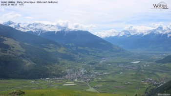
This 360 degree webcam offers you the view from the top station Watles towards the Vinschgau Valley in South Tyrol. Next to the top station of the...
43 minutes ago
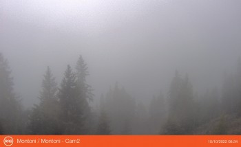
This webcam offers you the view from mountain Montoni (1.971 m) towards Ortler Alps in South Tyrol.
48 minutes ago
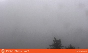
Located at the mountain Montoni at 1.971 m above sealevel, this webcam offers you the view towards the South Tyrolean villages Schluderns and...
48 minutes ago
The webcam offers the view towards village Latsch in Valley Vinschgau in South Tyrol. The cable car 'St Martin' transports you from the base...
48 minutes ago
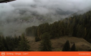
Webcam with view towards village Schlinig in South Tyrol. It is a popular starting point for hiking tours in the Sesvenna Alps and Unterengadin.
41 minutes ago
View towards Lago di Quaira in south tyrolean hiking area Schwemmalm. Located at 2.250 m, the lake is the highest barrier lake in the valley. The...
48 minutes ago
Panoramic View of the Valley of Vinschgau. The Webcam is located at Watles Hotel.
41 minutes ago
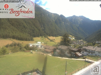
This webcam shows the view from hotel Bergfrieden towards italian municipality Martell in South Tyrol.
temporarily unavailable
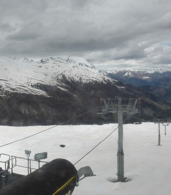
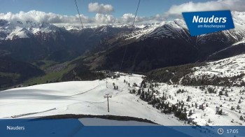
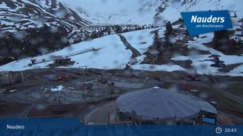
View from the top of the Zirmbahn near Nauders.
21 minutes ago
Enjoy the view from the 6-Chair Tscheck near Nauders.
38 minutes ago
Here you can see Prad at Passo Stelvio
42 minutes ago
Here you look to Lasa/Laas in the "Etsch" valley
21 minutes ago
Have a look at the village "Unsere Frau" in the Italian valley Schnalstal!
temporarily unavailable
The webcam shows you the lake Vernagt that is situated at the valley Schnalstal
temporarily unavailable
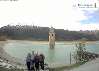
View to the Venosta Valley at the Lake Resia.
temporarily unavailable
View from Seehotel in Reschen to the Lake of Resa.
41 minutes ago
Enjoy the panoramic view over Schöneben and the Reschenpass
15 minutes ago
Enjoy the panoramic view over Latsch in the Vinschgau area
16 minutes ago
You can see Prad am Stilfserjoch and mountain range Ortler
temporarily unavailable
You can see the villages Reschend and Graun at the Reschen Lake in South Tyrol.
37 minutes ago
View to the Val Venosta in South Tyrol from Graun.
temporarily unavailable
Your view of Seebodenspitze from St. Valentin, South Tyrol.
37 minutes ago
Here you can see mountain station Haideralm in St. Valentin
41 minutes ago
View from the Bio Schorta farm in the small village of Tschlin near Nauders.
temporarily unavailable
Enjoy the view of mountain station Zirmbahn
30 minutes ago
Your view at Bergkastelseilbahn mountain station.
28 minutes ago