

Route description
On the paved road along the old railway line, you'll be heading towards the east. At the Nassereinbahn, you'll keep cycling straight forward until you reach the slip road Nasserein. Then, you'll continue on the Bundesstraße until you get to the second Guhlbrücke. Just before the bridge, you'll turn right into the forest. Through the tunnel portal of the Bundesbahn you'll reach the Rosanna. Along the right riverside, you'll be cycling to Schnann, passing the Aktivzentrum Pettneu. Here, it is worth taking a slight detour to the Schnanner Klamm, located just above the centre. Next, you'll be crossing the Rosanna and cycle to the bridge Jakober Aubrücke along the left riverbank, which will take you back to the starting point.
Interesting facts
- You're traveling a distance of 26 km on this easy trail. Average length of all bike Trails in Tyrol is 35 km.
- The bike trail is one of the family friendly trails in the region. The bike trail is also perfect if the kid’s wanna bring their dog on the trip.
- If you get hungry along the way, there are places to rest and get food. Nevertheless it’s recommended to also have enough water and food in your backpack when hiking or biking.
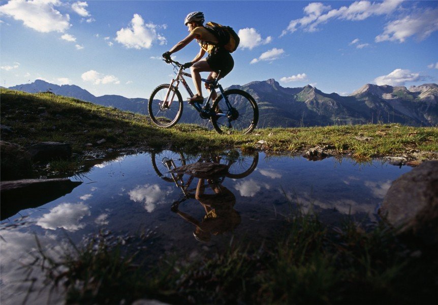
Highlights of the tour
Along the Rosanna, the tour offers a beautiful and comfortable round trip through the Stanzertal.
Getting here
By car
Travelling from Salzburg or Munich, you'll be reaching St. Anton am Arlberg via the S16 in the direction of Landeck. Take the exit at St. Anton am Arlberg and continue on the B197. Travelling from Stuttgart or Zurich, you'll head towards Feldkirch and Bludenz on the S16. Take the exit at Langen am Arlberg/ Klösterle in the direction of the Arlbergpass (B197). At the roundabout next to the station, you'll continue on the Dorfstraße. Then, at the next roundabout, turn into the Hannes-Schneider-Weg, which will directly lead you to the Kongresszentrum (congress centre). St. Anton is well connected and easily reachable by train, too. As a rail-jet station many important international fast trains will be calling here.
The tour starts in the centre of St. Anton am Arlberg at the Kongresszentrum ARLBERG-well.com, Hannes-Schneider-Weg 11.